
Arcadia Dunes: C.S. Mott Nature Preserve

Buy the $.99 downloadable map!
(This map is not geo-referenced)Trail Details

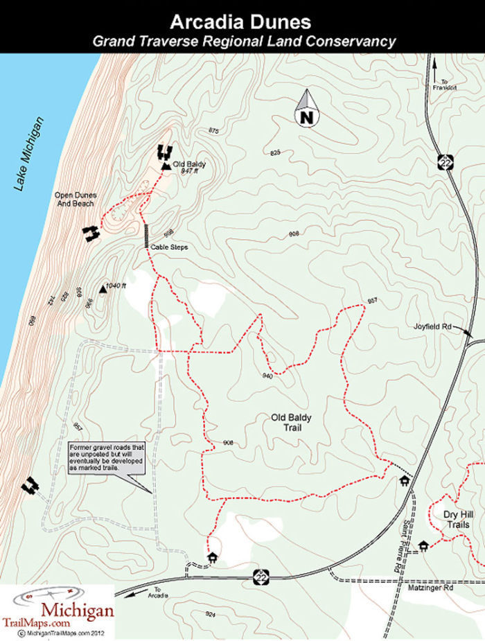
Also known as the C.S. Mott Preserve, Arcadia Dunes is spread across 3,600 acres just north of the Manistee/Benzie County line and is split in half by the state highway. The preserve includes 2 miles of Lake Michigan shoreline, coastal bluffs with impressive perched dunes, hardwood forests and grasslands. The adjacent working farms, totaling an additional 2,500 acres, have also been permanently protected, making Arcadia Dunes one of the largest conservation projects ever completed by a local land trust in the Midwest.
Winding from one end of the preserve to the other is 15 miles of trails with the major trailheads conveniently located just off M-22. On the east side of the state highway is Dry Hill Trails, a 10-mile loop that was designed by the International Mountain Biking Association and has become one of the premier off-road rides in Northern Michigan. On the west side of M-22 is Old Baldy Trail, a 3.7-mile network that leads to sweeping views on top of a perched dune.
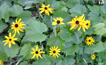
Another part of the preserve is Pete’s Woods Trail. Reached from the Swamp Road Trailhead, this 1.5-mile loop winds through a heavily forested area with moderate climbs. The impressive hardwood forest makes this easy hike a favorite in the fall while a fusion of wildflowers will bring you back in April and May.
| Difficulty - Easy |
| Difficulty - Challenging |
| Difficulty - Moderate |
| Multi-use Trail |
Geo-referenced maps from MichiganTrailMaps.com range from $1.99 to $2.99 each.
Download the Avenza app from the App Store or Google Play


