
Aspen Park: Ski Trails
Buy the $.99 downloadable map!
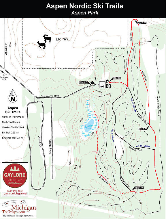
(This map is not geo-referenced)Trail Details
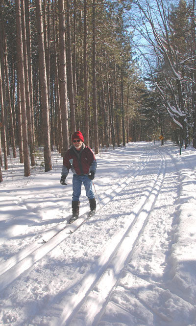
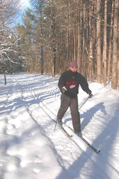

Winding through the park are five paved trails that total 2 miles and are groomed for classic Nordic skiing. Even better they’re lit with the trailside lights popping on at dusk until 11 p.m.
Night skiing is some of the best entertainment Gaylord has to offer in the winter. You stride to lights that illuminate the tracks and cast a soft glow into the dark woods. Afterwards you can head over to the Big Buck Brewery, a mere five minutes away, to quench your thirst with a microbrew.
The outside perimeter of the paved paths is a 1.65-mile loop. The ski described below is a slight variation that includes Pond Trail, making it a 1.7-mile loop. Pond Trail is not lit nor is it groomed. But it is one of the most scenic stretches of trail at Aspen Park and offers the only real change of elevation in the system. For these reasons enough skiers include it on their run that you are rarely breaking trail or setting tracks.
| Difficulty - Easy |
| Groomed Classic Skiing |
Geo-referenced maps from MichiganTrailMaps.com range from $1.99 to $2.99 each.
Download the Avenza app from the App Store or Google Play


