
DeYoung Natural Area

Buy the $.99 downloadable map!
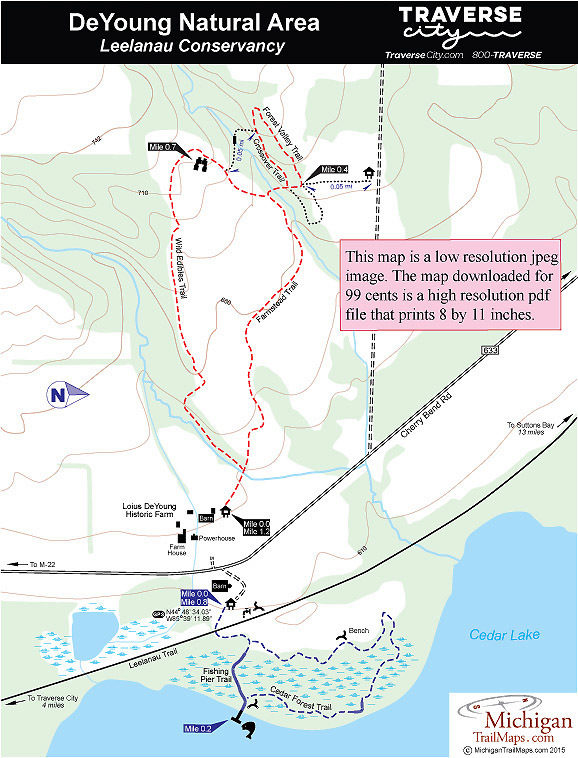
(This map is not geo-referenced)Trail Details
The farmstead dates back to the 1860s when Henry Campbell cleared the land and then diverted a stream to power a water wheel. DeYoung purchased the farm in 1925 as a 26-year-old newlywed and remained on it for almost 80 years. A true innovator, DeYoung turned the water wheel powerhouse into a machine shop that included light bulbs before standard electricity service was available in the area. He embraced tractor-powered farming early on and was one of the first in Leelanau Peninsula to plant cherry trees.
In 2003 at the age of 103, DeYoung and his son approached the Leelanau Conservancy in regard to preserving the farm and the mile of undeveloped shoreline on Cedar Lake. DeYoung died a year later, and in 2008 a 145-acre tract that included the farmstead and its historical buildings was acquired by the conservancy.
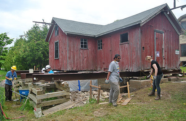
The Leelanau Conservancy turned to Eastern Michigan University’s nationally-recognized Graduate Program in Historic Preservation to assist in preserving the structures and developing an interpretive area. The conservancy also invited local farmers to resume farming and raise livestock in the natural area, using small-scale, sustainable methods such as edible forest gardening.
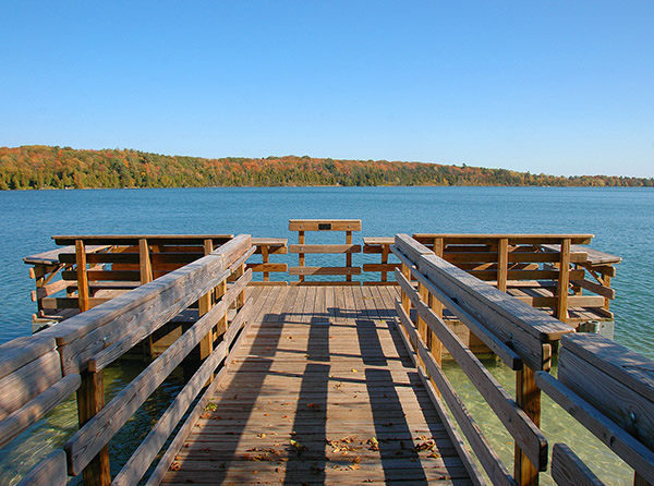
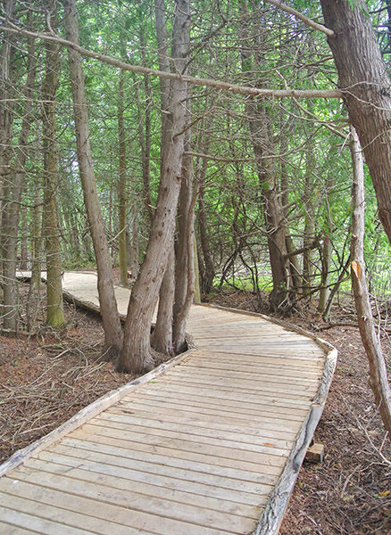
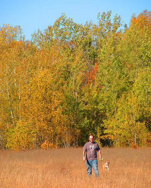
DeYoung is a work in progress but hikers already have more than 2 miles of trail to explore. On the east side of Cherry Bend Road is the Cedar Forest Trail that makes for a loop of less than a mile and includes a fishing pier and viewing deck on Cedar Lake. On the west side, described here as a 1.2-mile loop, trails first pass the buildings and then skirt small farm fields, upland meadows and stands of hardwoods.
The loops can be combined for an easy 2-mile outing in this unique natural area where farming and outdoor recreation exist side-by-side and naturally complement each other.
| Difficulty - Easy |
| Dog Friendly |
| Foot Path |
Geo-referenced maps from MichiganTrailMaps.com range from $1.99 to $2.99 each.
Download the Avenza app from the App Store or Google Play


