Huron Meadows Metropark - Ski Trails

Buy the $.99 downloadable map!
(This map is not geo-referenced)Trail Details
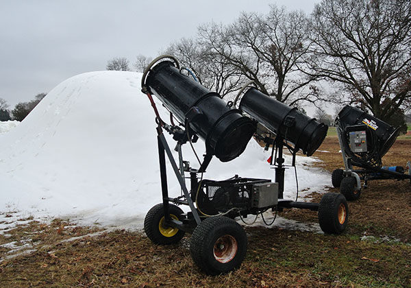

In 2012 the Huron-Clinton Metropark in Livingston County purchased four snowguns and began doing what Mother Nature wouldn’t at times; make snow. The park staff used the guns to create a small, white mountain and then transported the snow to Buck’s Run where they groomed it into a mile-long loop with a skating lane and tracks for classic skiing.
Viola! Skiing even when the lawn at home is brown and grassy.
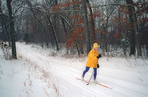
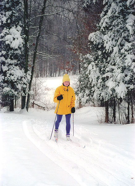
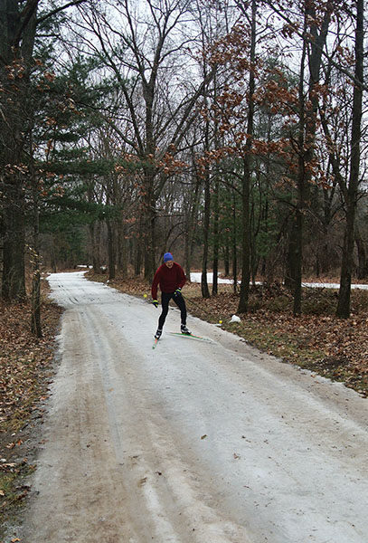
But when there is snow in this corner of the state that’s even more reason for everybody to grab their skinny skis and visit Huron Meadows. Since the late 1990s, this picturesque 1,539-acre park has dedicated itself to the Nordic sport with an improved trail system, state-of-the-art grooming and top-of-the-line rental equipment at its ski center.
“We’ve replaced Kensington as the crown jewel of cross country skiing in the Metropark system,” said one park official.
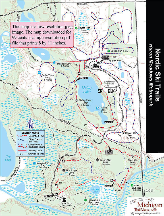
Located on the banks of the Huron River, less than 3 miles south of downtown Brighton, Huron Meadows features almost 16 miles of ski trails with 10 miles groomed for skate skiing. While 5.4 miles of the system, Coyote Run and Hawk Hills, is spread across the park’s 18-hole golf course, the rest winds around Maltby Lake, across open meadows and through the scenic woodlands and wetlands that span from Hammel Road south to the Huron River.
More than 6 miles of trail is posted with black diamonds but these are not overly challenging runs and overall the area is ideal for beginner skiers and families of mixed abilities. Add a ski center where you can enjoy a cup of hot chocolate at the north end of the park and a fire pit that warms up skiers on the weekend at the south end and you have all the amenities any cross country skier could possible want.
Even when Mother Nature isn’t cooperating.
The 4.9-mile run described here begins and ends at the Ski Center and combines portions of the most scenic trails the park has to offer; Maltby Vista, Beech Alley, Oak Hills and Pine Ridge. This loop is for classic skiers as none of the trails south of Hammel Road are groomed for skate skiing.
There is no direction of travel at Huron Meadows as the trails are groomed with a pair of striding tracks. But most skiers follow Maltby Vista in a counter clockwise direction. Two trails, the 1.5-mile Moraine Fen and the 0.8-mile Hidden Lake Bend that depart from the Cedar Ridge Picnic Area, are designated snowshoe routes.
| Groomed Classic Skiing |
| Groomed Skate Skiing |
Geo-referenced maps from MichiganTrailMaps.com range from $1.99 to $2.99 each.
Download the Avenza app from the App Store or Google Play


