Lost Twin Lakes Pathway
Buy the $.99 downloadable map!
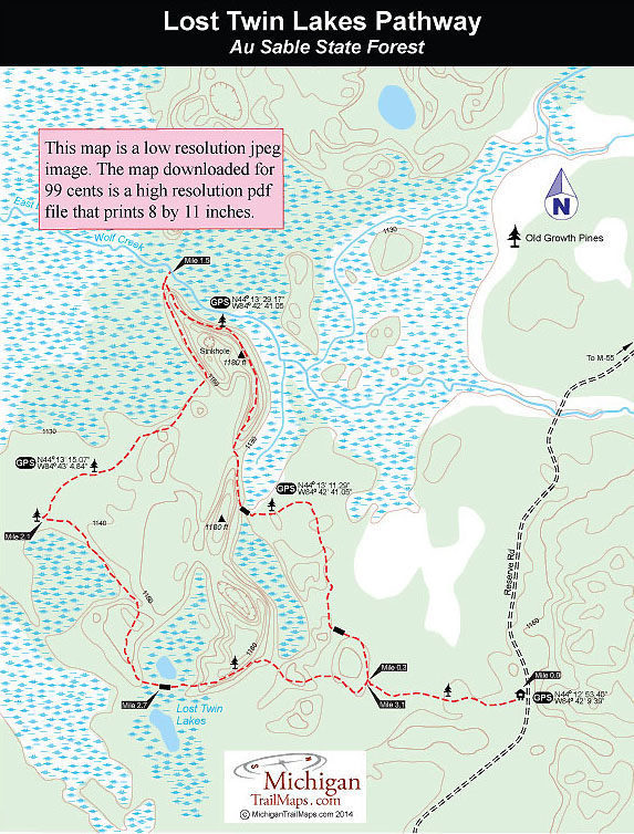
(This map is not geo-referenced)Trail Details
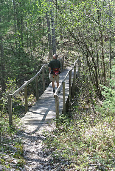

Lost Twin Lakes is a 3.4-mile loop that was built in the mid-1980s. It remained a soggy, lightly-used pathway until 1999 when members of Boy Scout Troop 944 turned the trail into an Eagle Scout project and constructed a series of bridges and boardwalks over the wettest parts.
Thanks to the Scouts, the trail is a much drier hike now but still remains relatively obscure. Much of that is due to its remote location. Part of the Au Sable State Forest, the trailhead is south of Houghton Lake along Reserve Road (County Road 400), a winding dirt road with few signs.
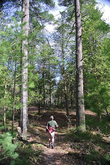
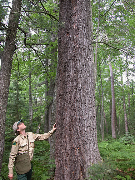
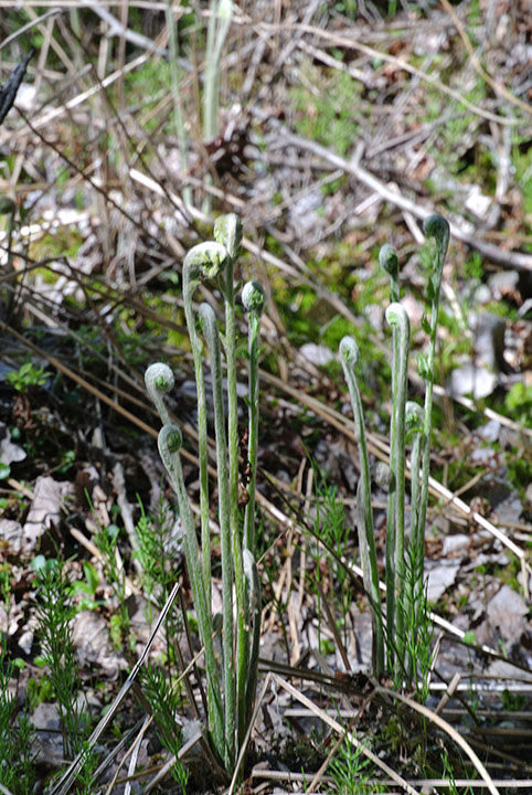
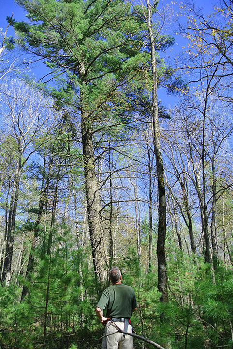
This pathway is for people who like to walk in the woods. The main attraction of Lost Twin Lakes are the century-old white pines scattered along the trail, giant trees that survived waves of loggers in the late 1800s. The pathway also features an interesting topography that includes ridges, sinkholes, wetlands and swamps and those small namesake lakes that gives it a wonderful North Woods ambience.
Like all state forest pathways, Lost Twin Lakes is open to Nordic skiing and snowshoeing as well as mountain biking. But the trail isn’t groomed in the winter while off-road cyclists usually bypass it, choosing instead trails with more mileage that are easier to access from I-75 or US-131.
| Difficulty - Moderate |
| Dog Friendly |
| Foot Path |
Geo-referenced maps from MichiganTrailMaps.com range from $1.99 to $2.99 each.
Download the Avenza app from the App Store or Google Play


