
Sleeping Bear Dunes: Kettles Trail
Buy the $.99 downloadable map!
(This map is not geo-referenced)Buy the Geo-referenced map
for use in the Avenza Maps App
Trail Details
Geo-referenced maps from MichiganTrailMaps.com are available through Avenza Maps and range from $1.99 to $2.99 each.
Download the Avenza app from the App Store or Google Play


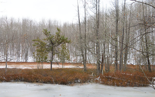
It looks all the world like a slice of the western Upper Peninsula, but it’s not. You’re in the heart of the Leelanau Peninsula, hiking in the Bow Lakes area of Sleeping Bear Dunes Natural Lakeshore, a park known for sand dunes and beaches.
Who would have guessed that in this region of vineyards and farm stands and quaint little towns, there was a place so rugged and so remote? And so full of kettles.
A kettle is a fluvioglacial landform, the result of blocks of ice calving from the front of a receding glacier and then buried by glacial outwash. When the ice melts a sharp-sided hole appears. An area with numerous kettles results in rugged topography, a jumbled array of ridges, mounds and potholes.
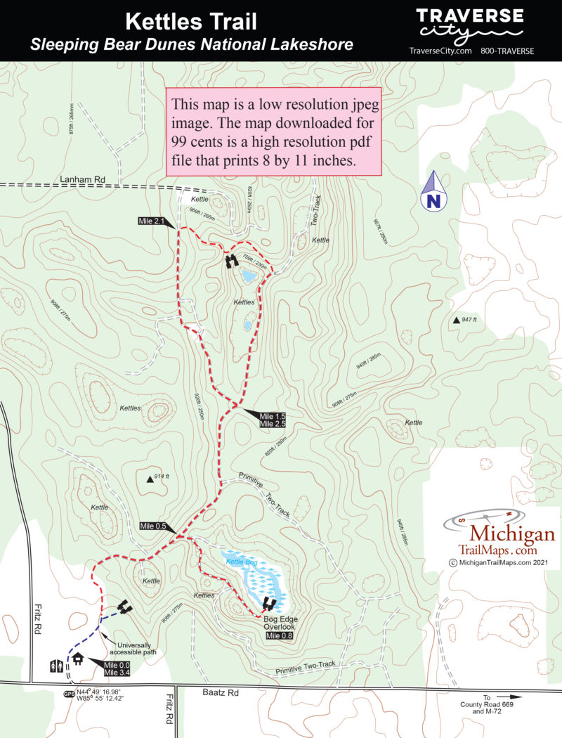
There are at least a dozen kettles in the area that the Kettles Trail traverses, a 500-acre tract that lies 5 miles southeast of Glen Lake. Other then three isolated kettles on North Manitou Island, this is the only place in Sleeping Bear Dunes Natural Lakeshore where kettles, pothole lakes and kettle bogs exist.
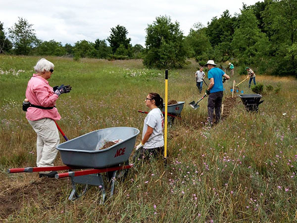
The geographical oddities are so rare that the park’s boundary was revised in 1982 to include the Bow Lakes area, and in 2009 a proposed trail was included in the park’s General Management Plan. The Kettles Trail officially opened in 2019.
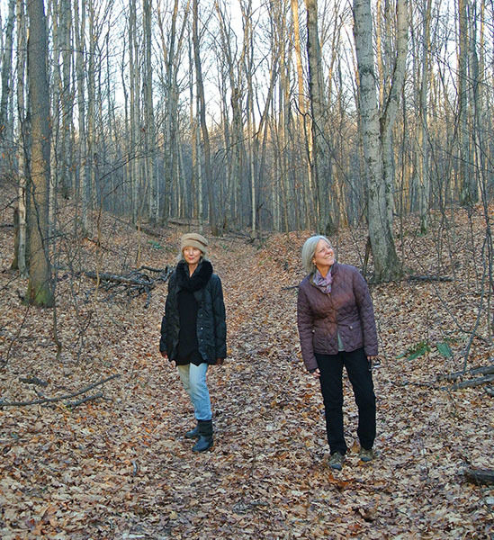
The new trail is 3 miles long, and the first 1,000 feet leading to an overlook of a kettle is fully accessible via a compacted stone surface. The remainder of the trail often utilizes old two-tracks that climb the slopes and ridges of the kettle topography, some with a more than 20 percent grade.
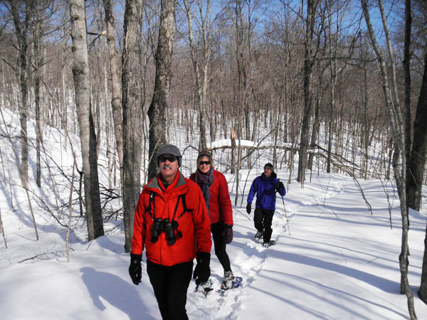
Because some backtracking is required, Kettles Trail is a hike of 3.4 miles with the southern portion moderate in difficulty and the northern half more challenging. The old two-tracks make Kettles Trail an excellent destination in the winter for snowshoers or backcountry skiers.
| Difficulty - Moderate |
| Foot Path |
| Dog Friendly |
Geo-referenced maps from MichiganTrailMaps.com range from $1.99 to $2.99 each.
Download the Avenza app from the App Store or Google Play
