322

Trails Reviewed

Find Trails & Maps

Search for Trail
Search by Location
Search by


Search Terms:
Map
FILTERS
Close

Refine Search

By Activities:
By Regions:
By Name:

4216 Ranger Road
Grayling, MI 49738 US

Phone: (989) 348-7068
Region: Northwest

Loggers, lumber barons and white pine made Michigan the greatest lumber-producing state in the country between 1869 and 1900. During that era there were an estimated 700 logging camps, and more...
More Info

4216 Ranger Road
Grayling, MI 49738 US

Phone: (989) 348-7068
Region: Northwest

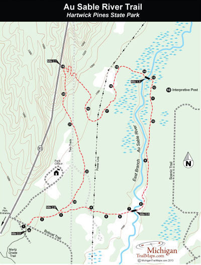
The best escape into the woods at Hartwick Pines is the Au Sable River Trail on the west side of MI-93. The highlight of this 3.1-mile trail is the East Branch of the Au Sable River, which it...
More Info

4216 Ranger Road
Grayling, MI 49738 US

Phone: (989) 348-7068
Region: Northwest

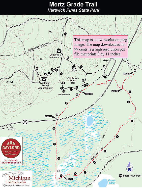
Named from an early logging railroad spur, Mertz Grade Trail is a 2-mile plus loop that extends on both sides of M-93. A portion of the trail follows the historic Mertz logging railroad spur and on...
More Info

4216 Ranger Road
Grayling, MI 49738 US

Phone: (989) 348-7068
Region: Northwest
Website

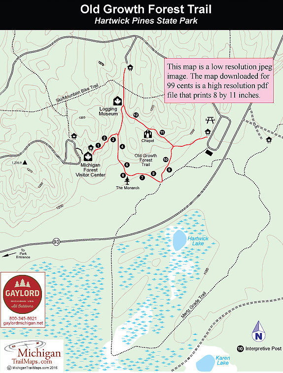
The Old Growth Forest Trail is, without a doubt, the most popular foot trail in Hartwick Pines. The 1.25-mile loop draws more than a quarter million people a year who use it to access the heart of...
More Info

4216 Ranger Rd
Grayling, MI 49738 US

Phone: (989) 348-7068
Region: Northwest

Hartwick Pines is not only the largest state park in the Lower Peninsula but it was also one of the first in northern Michigan to welcome mountain bikers when in the late 1980s it opened up its...
More Info

8100 Grange Hall Road
Holly, MI 48442 US

Phone: (248) 634-8811
Region: Southeast
Website

Located on the northern edge of Oakland County, Holly Recreation Area is a 7,817-acre state park that offers a wide variety of terrain on both sides of I-75. West side of the interstate Holly...
More Info

8100 Grange Hall Road
Holly, MI 48442 US

Phone: (248) 634-8811
Region: Southeast
Website

Most of McGinnis Lake Campground is grassy sites in a semi-open setting. The exception is the Trillium Loop whose sites are well spread out in a rolling woods, giving you both privacy and that...
More Info

8100 Grange Hall Road
Holly, MI 48442 US

Phone: (248) 634-8811
Region: Southeast
Website

A quick glance at a map and the Lakeshore Trail appears to be a hike through the beaches and day-use areas of the Holly Recreation Area, a walk along the park road where you would be tripping over...
More Info

8100 Grange Hall Road
Holly, MI 48442 US

Phone: (248) 634-8811
Region: Southeast
Website

Calling any trail in Oakland County Wilderness is a little presumptuous. Or a lot. Still this 5.75-mile loop in Holly Recreation Area is a dandy, an oasis in the urban sprawl that someday will turn...
More Info

5200 Highland Road
White Lake, MI 48383 US

Phone: (248) 889-3750
Region: Southeast
Website

Looking to escape the pressures of being Henry Fords only son and thus, sole heir to the Ford Motor Company, Edsel Ford began purchasing the hilly property in northwest Oakland County in 1923 and...
More Info

5200 Highland Road
White Lake, MI 48383 US

Phone: (248) 889-3750
Region: Southeast
Website

Goose Meadow Trail is a 2.5-mile loop lies that wraps around a portion of Haven Hill Lake and lies almost entirely in the Haven Hill Natural Area. It makes for a scenic walk that is easier and...
More Info

5200 Highland Road
White Lake, MI 48383 US

Phone: (248) 889-3750
Region: Southeast
Website

The principal trail in the Haven Hill Natural Area is a loop that encircles Haven Hill Lake with two cutoff spurs that create shorter trails. The entire loop is a 5.2-mile hike marked as the Green...
More Info

5200 Highland Road
White Lake, MI 48383 US

Phone: (248) 889-3750
Region: Southeast
Website

To view the ruins of the Ford estate, follow the former entrance drive up Haven Hill. The road is closed to traffic just beyond the park maintenance buildings and parking is not now allowed at the...
More Info

Jefferson Rd.
Croton, MI US

Phone: (877) 500-2570
Region: Heartland

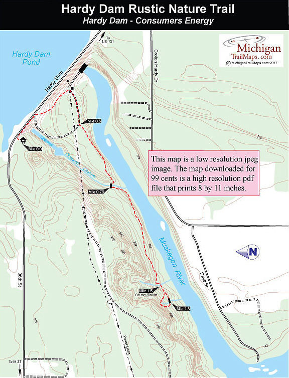
Hardy Dam is an interesting contrast. Built in 1931, this huge man-made structure is the largest hydroelectric plant in the Lower Peninsula and produces enough electricity for a city of 24,000...
More Info

Loosemore Road
Port Austin, MI 48467 US

Region: Lake Huron (Includes the Thumb)
Website

Located at the tip of the Thumb, less than a mile from the sandy beaches of Saginaw Bay, Huron Nature Center Wilderness Arboretum is a 280-acre oasis of woods and wetlands in an area of the state...
More Info

15675 Headlands Rd
Mackinaw City, MI 49701 US

Phone: (231) 348-1704
Region: Northwest
Website

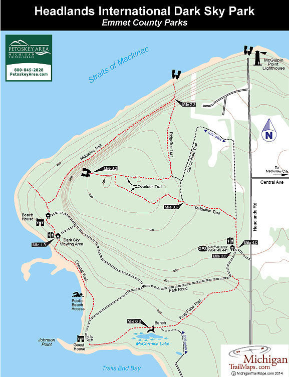
The largest forested tract in the vicinity of Mackinaw City is The Headlands, an Emmet County park that spans over 600 acres and features 2 miles of shoreline on Cecil Bay and the Straits of...
More Info

6585 Lake Harbor Rd
Muskegon, MI 49441 US

Phone: (231) 798-3711
Region: Lake Michigan

The "Dune Climb Stairway" at P. J. Hoffmaster State Park is no easy climb. It's 193 steps to the end, a viewing platform on top of a dune, 190 feet above the lake. So tiring is the climb for some...
More Info

6585 Lake Harbor Rd
Muskegon, MI 49441 US

Phone: (231) 798-3711
Region: Lake Michigan

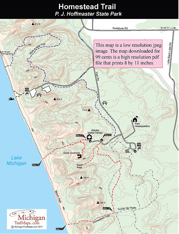
The best place to learn and study about Michigan's amazing sand dunes is at P. J. Hoffmaster State Park, where you can combine a visit to the Gillette Visitor Center, Michigan’s Sand Dune...
More Info

River Road
Oscoda, MI US

Phone: (989) 362-8961
Region: Lake Huron (Includes the Thumb)
Website

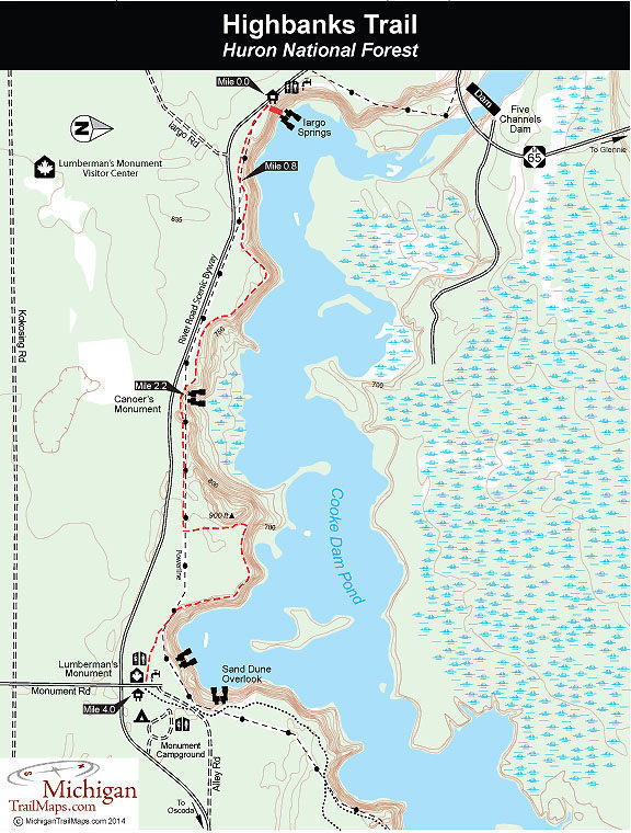
Strung along the towering bluffs above the Au Sable River is the Highbanks Trail, a skiing and hiking route that was developed through the Corsair Ski Council and the Huron National Forest. This is...
More Info

8765 Hammel Rd.
Brighton, MI 48116 US

Phone: (734) 426-8211
Region: Southeast
Website

When it is cold in Southeast Michigan but theres no snow serious Nordic skiers head to Huron Meadows Metropark for a workout on Bucks Run.In 2012 the Huron-Clinton Metropark in Livingston County...
More Info

M-22
Leland, MI US

Phone: (231) 256-9665
Region: Northwest
Website

At 342 acres, Houdek Dunes is Leelanau Conservancy’s second largest and most diverse preserve. The landscape ranges from hardwood forests featuring some of the largest white birch trees in northern...
More Info

County Road F-32
Harrisville, MI US

Phone: (989) 362-8961
Region: Lake Huron (Includes the Thumb)
Website

True to its name, Hoist Lakes Foot Travel Area is indeed a place for foot travel whether your feet are strapped to snowshoes or cross-country skis in the winter or are in hiking boots the rest of...
More Info

M-72
Traverse City, MI US

Region: Northwest

Hickory Meadows is a classic urban trail system that is perched high above city neighborhoods but bounded on three sides by even taller hills. It offers 2 miles of unpaved paths that wander over...
More Info

3799 Bald Mountain Rd.
Auburn Hills, MI 48326 US

Region: Southeast

Can you escape in Auburn Hills, in the heart of Oakland County’s Automation Alley technology district and home of Chrysler’s world headquarters? You can in the middle of a fall afternoon at Hawk...
More Info

Loosemore Road
Port Austin, MI 48467 US

Region: Lake Huron (Includes the Thumb)

The Huron County Nature Center's Wilderness Bike/Hike Trail is designed for off-road cycling and located less than a half mile from it's walking trail. The series of five loops makes for a 3.7-mile...
More Info

List of Trails

Trails found: 358
showing 1 through 20 of 25

Hardy Dam Rustic Nature Trail

Distance:
2.75 miles round trip
Type:
Interpretive trail
Terrain:
Muskegon River, climax forest
Difficulty:
Easy
Nearest City or Town:
Croton

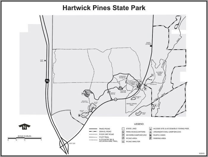
Hartwick Pines State Park

Distance:
1.25 to 7.5 miles
Type:
Foot paths, paved trail, two-tracks, cross-country ski trails
Terrain:
Old growth forests and stump fields
Difficulty:
Easy to moderate
Nearest City or Town:
Grayling

Hartwick Pines: Au Sable River Trail

Distance:
3.1 miles
Type:
Foot path
Terrain:
Old growth trees, trout stream
Difficulty:
Moderate
Nearest City or Town:
Grayling

Hartwick Pines: Mertz Grade Trail

Distance:
2.3 miles
Type:
Foot path
Terrain:
Old growth pines
Difficulty:
Easy
Nearest City or Town:
Grayling

Hartwick Pines: Old Growth Forest Trail
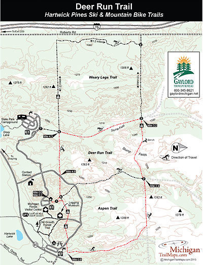
Distance:
1.25 miles
Type:
Paved trail
Terrain:
Old growth pines
Difficulty:
Easy
Nearest City or Town:
Grayling

Hartwick Pines: Ski/Mountain Bike Trails
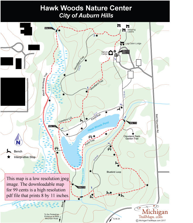
Distance:
3.5, 5.2 and 7.5-mile loops
Type:
Two-tracks
Terrain:
Forest and stump fields
Difficulty:
Easy to moderate
Nearest City or Town:
Grayling

Hawk Woods Nature Center

Distance:
2.1 miles
Type:
Interpretive paths
Terrain:
Woodlots, marshland
Difficulty:
Easy
Nearest City or Town:
Auburn Hills

Headlands International Dark Sky Park
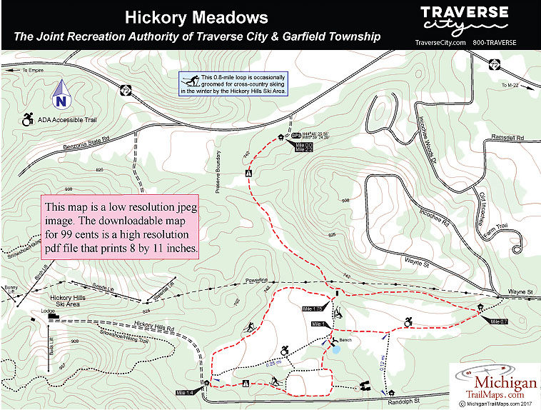
Distance:
4-mile loop
Type:
Multi-use
Terrain:
Lake Michigan, wooded ridges
Difficulty:
Easy
Nearest City or Town:
Mackinaw City

Hickory Meadows

Distance:
2.2 miles
Type:
Foot path, cross-country ski trail
Terrain:
Meadows, woodlands
Difficulty:
Easy
Nearest City or Town:
Traverse City

Highbanks Trail-Huron National Forest
Distance:
4 to 7 miles
Type:
Foot path, Nordic ski trail
Terrain:
Au Sable River, scenic vistas, Iargo Springs
Difficulty:
Easy
Nearest City or Town:
Oscoda

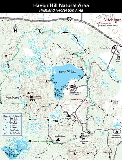
Highland Recreation Area/Haven Hill Natural Area
Distance:
0.7 to 15 miles
Type:
foot, mountain biking, and skiing trails
Terrain:
Haven Hill Lake, hardwood forests, wetlands
Difficulty:
Easy to challenging
Nearest City or Town:
White Lake

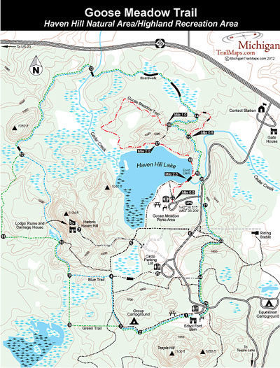
Highland Recreation Area: Goose Meadow Trail
Distance:
2.5-mile loop
Type:
Day hiking
Terrain:
Haven Hill Lake, forests
Difficulty:
Easy
Nearest City or Town:
White Lake

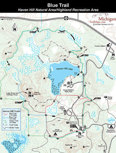
Highland Recreation Area: Haven Hill Natural Area Hike/Ski Trails
Distance:
2.15 to 5.2-mile loops
Type:
Day hiking and Nordic skiing
Terrain:
Hardwood forests, wetlands
Difficulty:
Easy to moderate
Nearest City or Town:
White Lake

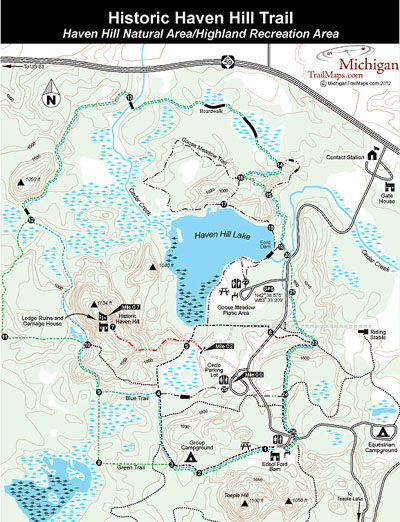
Highland Recreation Area: Historic Haven Hill Trail

Distance:
1.4-miles round-trip
Type:
Short hike
Terrain:
Haven Hill, Ford lodge ruins
Difficulty:
Moderate
Nearest City or Town:
White Lake

Hoffmaster State Park

Distance:
10-mile trail system
Type:
Foot paths and Nordic trails
Terrain:
Sand dunes, Lake Michigan
Difficulty:
Easy to moderate
Nearest City or Town:
Muskegon

Hoffmaster State Park: Homestead Trail
Distance:
2.7 miles
Type:
Foot path
Terrain:
Sand dunes, Lake Michigan
Difficulty:
Moderate
Nearest City or Town:
Muskegon

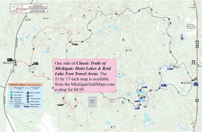
Hoist Lakes Foot Travel Area: Byron Lake Loop
Distance:
6.5-mile loop
Type:
Foot trail, cross-country ski trail
Terrain:
Rolling hills, ridges and lakes
Difficulty:
Medium to challenging
Nearest City or Town:
Curran

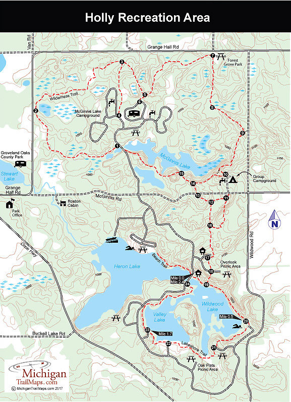
Holly Recreation Area

Distance:
0.5 to 18.0 miles
Type:
Two track, foot paths
Terrain:
Lakes, wetlands, hardwood hills
Difficulty:
Easy to moderate
Nearest City or Town:
Holly

Holly Recreation Area: Lakeshore Trail

Distance:
2.5-mile loop
Type:
Foot path
Terrain:
Wildwood and Valley Lakes
Difficulty:
Moderate
Nearest City or Town:
Holly

Holly Recreation Area: Whispering Pines Nature Trail

Distance:
0.5-mile loop
Type:
Foot path
Terrain:
Red pine stand, wetland kettle
Difficulty:
Easy
Nearest City or Town:
Holly

showing 1 through 20 of 25
Previous page Next page
Michigan TrailMaps.com Michigan's Premier Trail Resource Contact

Trail Mix News

by travel and outdoor writer Jim DuFresne!

Sign Up
Enews Signup
Find a Trail

Find Trails & Maps

Search for Trail
Search by Location
Search by