322

Trails Reviewed

Find Trails & Maps

Search for Trail
Search by Location
Search by


Search Terms:
Map
FILTERS
Close

Refine Search

By Activities:
By Regions:
By Name:

Goose Rd
Honor, MI US

Phone: (231) 922-5280
Region: Northwest

Outside of the Porcupine Mountains, there are not too many places in Michigan where you need to ford a stream. But in Benzie County there is Platte River Springs Pathway, a short loop that is...
More Info

37205 Mouillee Rd
Rockwood, MI 48173 US

Phone: (734) 379-9692
Region: Southeast

Middle Causeway is a dike that cuts across the heart of Pointe Mouillee and not only allows you to hike a shorter loop than following the perimeter dikes but leads you through the most interesting...
More Info

37205 Mouillee Rd
Rockwood, MI 48173 US

Phone: (734) 379-9692
Region: Southeast

Driving south along Jefferson Road in the Downriver region of Southeast Michigan, you pass a Detroit Edison plant with its towering twin smoke stacks and then the Monsanto chemical company and...
More Info

37205 Mouillee Rd
Rockwood, MI 48173 US

Phone: (734) 379-9692
Region: Southeast

For the most part this 9.8-mile route follows the perimeter control dikes in the Pointe Mouillee State Game Area and for some makes too long of a day on foot. The distance is ideal for a mountain...
More Info

8555 Silver Hill Road
Pinckney, MI 48169 US

Phone: (734) 426-4913
Region: Southeast
Website

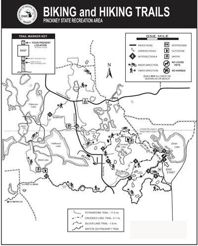
The glaciers that shaped much of southeast Michigan did a wonderful job sculpturing the Pinckney Recreation Area, a 10,201-acre state park that straddles the Livingston/Washtenaw County Line. The...
More Info

8555 Silver Hill Road
Pinckney, MI 48169 US

Phone: (734) 426-4913
Region: Southeast
Website

The main reason Losee Lake Trail was built in 1996 was to give a hikers a quiet place to walk in Pinckney Recreation Area. Designated for "Foot Traffic Only", the 3.5-mile trail system is an area...
More Info

8555 Silver Hill Road
Pinckney, MI 48169 US

Phone: (734) 426-4913
Region: Southeast
Website

The Silver Lake Trail is labeled as a 1.9-mile loop but Ive found it to be much closer to 2.3 miles. Even at this distance the trail is too short for most off-road cyclists so its spared the heavy...
More Info

8555 Silver Hill Road
Pinckney, MI 48169 US

Phone: (734) 426-4913
Region: Southeast
Website

The best hiking in southeastern Michigan is in Pinckney Recreation Area, and the Crooked Lake Trail is another reason why. This 5.1-mile loop is a pleasant walk that traverses hardwood forests,...
More Info

4650 Geddes
Ann Arbor, MI 48105 US

Phone: (734) 971-6337
Region: Southeast
Website

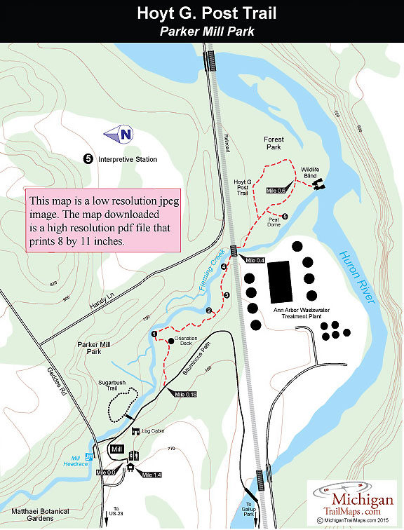
History and nature are well preserved and on display at Parker Mill Park. The Washtenaw County park straddles Fleming Creek just above its confluence with the Huron River west of Ann Arbor and...
More Info

6685 Sheridan Rd
Saginaw, MI 48601 US

Phone: (989) 790-5280
Region: Lake Huron (Includes the Thumb)
Website

Located 5 miles south of Saginaw, Price Nature Center is a 186-acre woods surrounded by theagricultural heart of Saginaw County. This park offers a variety of amenities including picnic area,...
More Info

Lone Pine Road
Gaylord, MI 49735 US

Phone: (989) 732-3541
Region: Northwest

Although it is technically a pathway in the Mackinaw State Forest, Pine Baron is more like a city trail on the edge of Gaylord. The pathway is less than 3 miles from the heart of the Ostego County...
More Info

Pickerel Lake Road
Vanderbilt, MI 49795 US

Phone: (989) 983-4101
Region: Northwest

Pickerel Lake Pathway is an easy, 2-mile loop that encircles the lake, staying within sight of the water for much of the hike. Although at times you’re hiking through matchstick forests of aspen...
More Info

Sturgeon Valley Rd.
Vanderbilt, MI 49795 US

Phone: (989) 983-4101
Region: Northwest

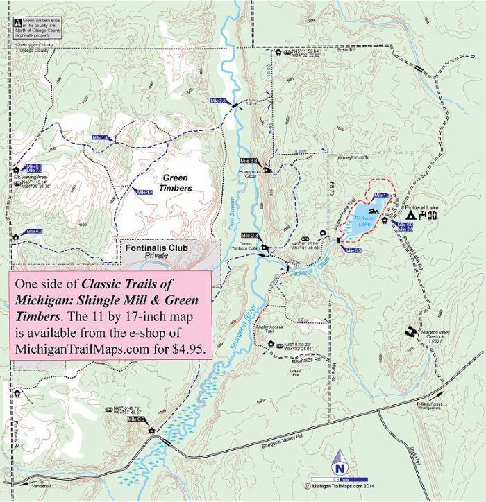
The lure of Green Timbers is history, trout and, if your timing is right, large elk. This rugged 6,388-acre tract, part of the Pigeon River Country State Forest, not only has wildlife, scenic...
More Info

Sturgeon Valley Rd.
Vanderbilt, MI 49795 US

Phone: (989) 983-4101
Region: Northwest

The Honeymoon Cabin was once the most popular destination in Green Timbers before it was removed in 2016 despite the protests of backpackers, hikers and snowshoers. The cabin was perched on a high...
More Info

Sturgeon Valley Rd.
Vanderbilt, MI 49795 US

Phone: (989) 983-4101
Region: Northwest

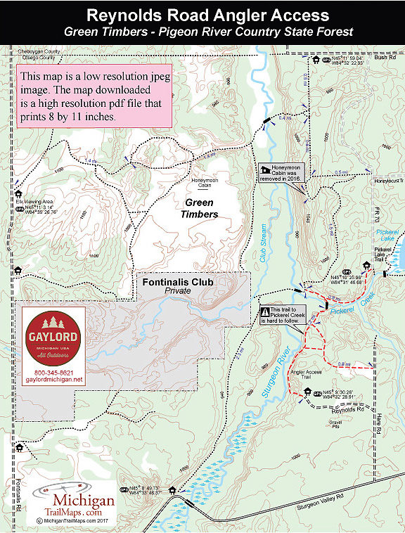
As far as anglers are concerned, most of the Sturgeon River in the Green Timbers area is a hike-in adventure. Many who want to fish and then overnight hike to the Green Timbers Cabin, a 2.3-mile...
More Info

9966 Twin Lakes Road
Vanderbilt, MI 49795 US

Phone: (989) 983-4101
Region: Northwest

The Pigeon River Country State Forest is a rugged 105,049-acre tract located 20 miles north of Gaylord and occupying the high central plateau of the Lower Peninsula. The forest is an outdoor...
More Info

3500 Wixom Road
Commerce Township, MI 48382 US

Phone: (248) 685-2433
Region: Southeast
Website

Proud Lake is a 4,700-acre state recreation area in the southwest corner of Oakland County whose terrain ranges from rolling dense forests and vast wetlands to a chain of lakes and 3.5 miles of the...
More Info

3500 Wixom Road
Commerce Township, MI 48382 US

Phone: (248) 685-2433
Region: Southeast
Website

The main trailhead in Proud Lake Recreation Area is located in the large day-use parking area just down the road from the park headquarters and near the organization campground. But this loop...
More Info

3500 Wixom Road
Commerce Township, MI 48382 US

Phone: (248) 685-2433
Region: Southeast
Website

This short and easy walk is ideal for children, even those as young as three or four years old. The small lake, technically an impoundment, provides them with something to constantly to look at...
More Info

4480 Orion Road
Rochester, MI 48306 US

Phone: (248) 651-9260
Region: Southeast

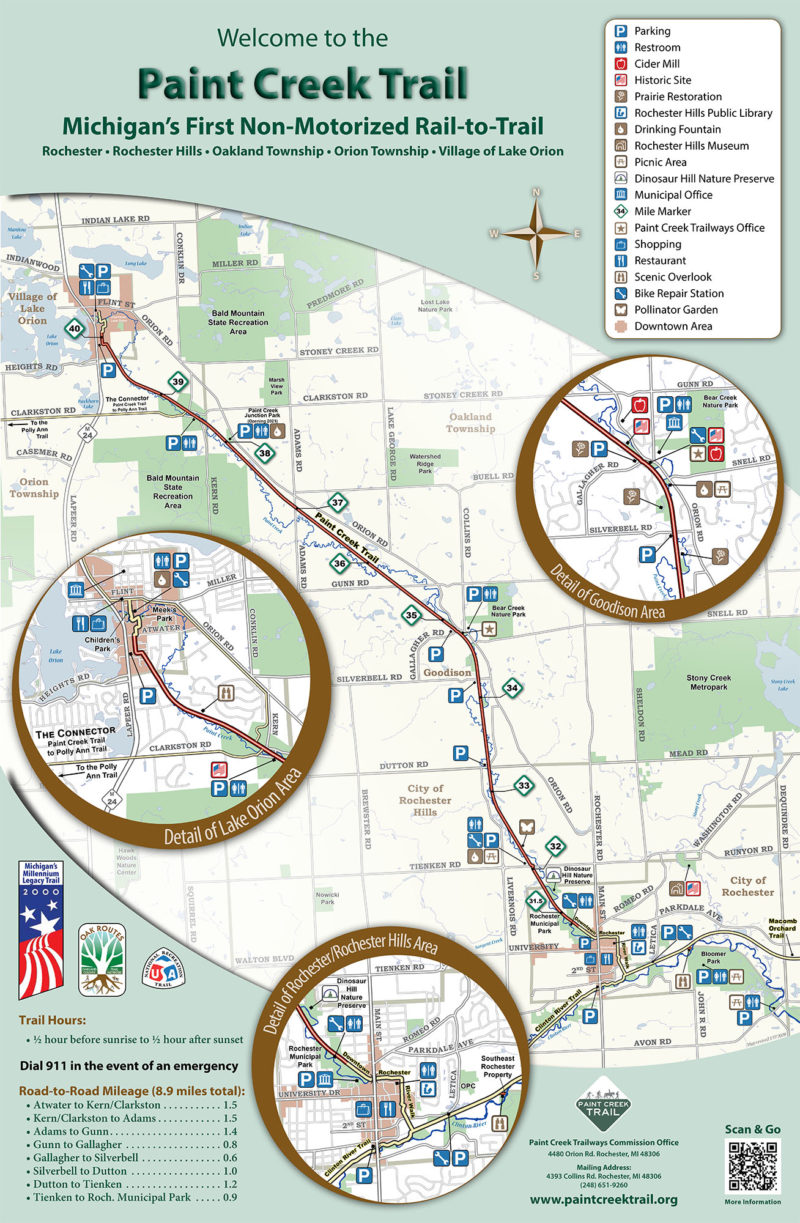
Within the mushroom of development that is northern Oakland County is the Paint Creek Trail, an 8.9-mile rail-trail between Rochester and Lake Orion. For the most part, the trail is a wooded path...
More Info

7 Mile Road
Baldwin, MI US

Phone: (231) 775-9727
Region: Heartland

Before even hoisting their packs for an overnight trek to Lost Lake, some hikers think their already lost. At the Pine Valleys Pathway parking lot there are signs and directional arrows for...
More Info

2475 M-119 Hwy
Petoskey, MI 49770 US

Phone: (231) 347-2311
Region: Northwest

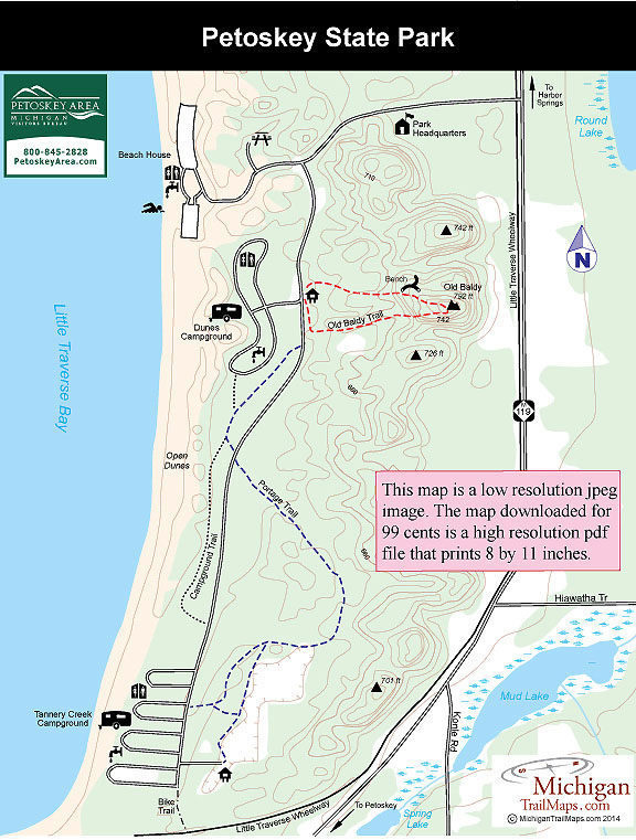
In the middle of the resorts, summer cottages, shopping areas and marinas that line Little Traverse Bay from Petoskey to Harbor Springs is Petoskey State Park. This 303-acre sanctuary may not be...
More Info

2475 M-119 Hwy
Petoskey, MI 49770 US

Phone: (231) 347-2311
Region: Northwest

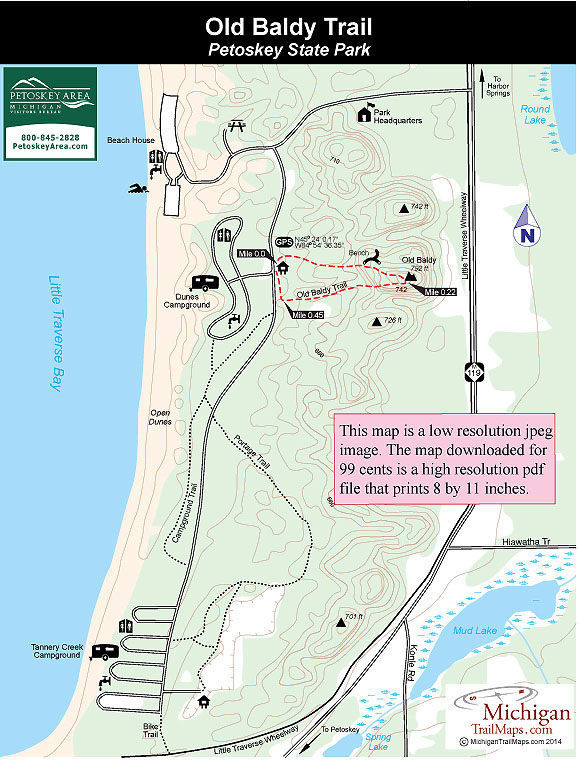
One of the most popular names for a trail along Lake Michigan is Old Baldy, a dune that everybody climbs for the view of the Great Lake below. Petoskey State Park is no exception.Its Old Baldy...
More Info

2475 M-119 Hwy
Petoskey, MI 49770 US

Phone: (231) 347-2311
Region: Northwest

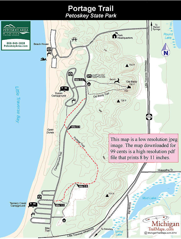
Portage Trail is the longest path in Petoskey at a mile from one end to the other. Older park maps show it as a partial loop but the actual marked trail extends from Dunes Campground to Tannery...
More Info

2475 M-119 Hwy
Petoskey, MI 49770 US

Phone: (231) 347-2311
Region: Northwest

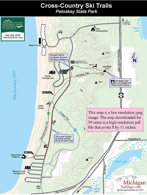
Petoskey State Park has a limited ski trail system that often serves as a place where locals go for a quick outing. Everybody else who has driven this far north usually searches for something more...
More Info

1775 Port Austin Road
Port Austin, MI 48467 US

Phone: (989) 738-8663
Region: Lake Huron (Includes the Thumb)

The Campers Trail is the most scenic path in Port Crescent State Park. The trail, a 2.3-mile loop with a 0.3-mile cutoff spur, lies in an area of the park completely surrounded by water, with the...
More Info

N8391 Sand Point Rd
Munising, MI 49862 US

Phone: (906) 387-3700
Region: Eastern Upper Peninsula
Website

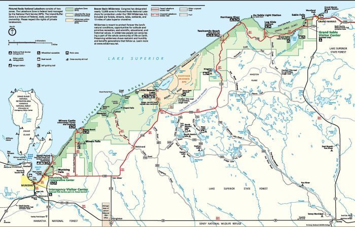
The towering sandstone cliffs known as the Pictured Rocks rarely fails to impress whoever passes through this far north. First it was Ojibway tribes who would honor the spirits of such a grand...
More Info

1505 Sand Point Rd
Munising, MI 49862 US

Phone: (906) 387-3700
Region: Eastern Upper Peninsula
Website

In one of the most spectacular regions of the state, Pictured Rocks National Lakeshore, you have one of the most spectacular paths to hike, the Lakeshore Trail. The 42.4-mile trail, part of the...
More Info

Sturgeon Valley Road
Vanderbilt, MI 49795 US

Phone: (989) 983-4101
Region: Northwest

Pigeon Bridge Campground in the Pigeon River Country State Forest is frequented by hikers as it serves as the trailhead for the Shingle Mill Pathway, a system of five loops that passes through some...
More Info

M-37
Traverse City, MI US

Phone: (231) 223-7322
Region: Northwest
Website

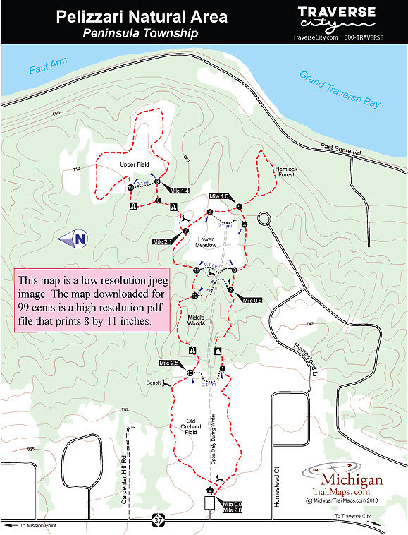
The 62-acre Pelizzari Natural Area is a mix of woodlands, meadows, wetlands and shoreline in the southern end of Peninsula Township.  Remnants of the farm fields and orchards are still evident, but...
More Info

Pyatt Road
Traverse City, MI US

Phone: (231) 929-7911
Region: Northwest
Website

Located just off Bowers Harbor in the heart of Old Mission Peninsula, Pyatt Lake represented one of the most botanically diversed, privately-owned properties in the region. At times locals referred...
More Info

33303 Headquarters Rd
Ontonagon, MI 49953 US

Phone: (906) 885-5275
Region: Western Upper Peninsula

Most people follow the Big Carp River Trail in Porcupine Mountains Wilderness State Park from east to west. Theybegin the day on a high rocky bluff overlooking the rugged landscape of an ancient...
More Info

33303 Headquarters Rd
Ontonagon, MI 49953 US

Phone: (906) 885-5275
Region: Western Upper Peninsula

This is the crowning jewel of trails not only in the Porkies but in all of Michigan and possibly in the Midwest. The Escarpment combines a high rocky bluff and alpine-like vistas with views of the...
More Info

33303 Headquarters Rd
Ontonagon, MI 49953 US

Phone: (906) 885-5275
Region: Western Upper Peninsula

The Overlook Trail offers one of the few loops into the rugged interior of the park that is under 10 miles in length, making it an ideal dayhike for those with only a few hours left on their...
More Info

County Road 519
Wakefield, MI US

Phone: (906) 885-5275
Region: Western Upper Peninsula

The East River Trail and the West River Trail are actually two separate paths but when combined, as they usually are, they form another scenic loop in the Porkies and the best trek for families...
More Info

33303 Headquarters Rd
Ontonagon, MI 49953 US

Phone: (906) 885-5275
Region: Western Upper Peninsula
Website

Porcupine Mountains Wilderness State Park, the beloved Porkies to many backpackers, is not only Michigan’s largest state park at 59,020 acres but it’s also the most rugged and the wildest. The...
More Info

South Boundary Road
Ontonagon, MI US

Phone: (906) 885-5275
Region: Western Upper Peninsula

Lost Lake Trail extends from South Boundary Road to Government Peak Trail and along the way passes a yurt, a backcountry campsite and, of course, its namesake lake; a small, remote, and beautiful...
More Info

Summit Peak Road
Ontonagon, MI US

Phone: (906) 885-5275
Region: Western Upper Peninsula

These two trails plus a portion of Little Carp River Trail form a pleasant half-day hike along a route that is scenic but not nearly as heavily traveled during the summer as the Escarpment or the...
More Info

Summit Peak Road
Ontonagon, MI US

Phone: (906) 885-5275
Region: Western Upper Peninsula

The North and South Mirror Lake Trails provide a route that crosses the heart of the Porkies, beginning from Summit Peak Road and ending at the Lake of the Clouds Overlook. The highest point is...
More Info

South Boundary Road
Wakefield, MI US

Phone: (906) 885-5275
Region: Western Upper Peninsula

Pinkerton Trail is the shortest route to the cabins and campsites near the mouth of the Big Carp River, a popular destination for many hikers. Others choose Pinkerton Trail to bypass the rugged...
More Info

33303 Headquarters Rd
Ontonagon, MI US

Phone: (906) 885-5275
Region: Western Upper Peninsula

Cross Trail is probably the least traveled route in the park. It connects the Lake Superior Trail at the mouth of the Big Carp River with the Little Carp River Trail near Greenstone Falls. It is a...
More Info

South Boundary Road
Ontonagon, MI US

Phone: (906) 885-5275
Region: Western Upper Peninsula

When the water is up or during spring runoff, there is no finer trail for waterfall lovers than the Union Mine Trail. But its a great walk any time of the year for those intrigued by the copper...
More Info

South Boundary Road
Ontonagon, MI US

Phone: (906) 885-5275
Region: Western Upper Peninsula

The Nonesuch Mine site includes an abandoned copper mine and the remains of a small ghost town in the southeast corner of the Porcupine Mountains State Park, just off South Boundary Road. The mine...
More Info

M-107
Ontonagon, MI US

Phone: (906) 885-5275
Region: Western Upper Peninsula

Correction Line Trail is a well-traveled route that connects Big Carp River Trail, 4 miles from Lake Superior or 5 miles from the Lake of the clouds Overlook, to Mirror Lake. Its commonly used to...
More Info

M-107
Ontonagon, MI US

Phone: (906) 885-5275
Region: Western Upper Peninsula

Deer Yard and Superior loops can be combined for a 3.5-mile ride that will be gentle on the mind and easy on the cardiovascular system. The loop may be limited in mileage but features two of the...
More Info

Chapel Rd
Shingleton, MI 49884 US

Region: Eastern Upper Peninsula

The Lakeshore Trail is one of Michigan's classic backpacking treks, a 42.4-mile walk from Grand Marais to Munising. But if you don't have four to five days to spare or the desire to haul a backpack...
More Info

33303 Headquarters Rd
Ontonagon, MI 49953 US

Region: Western Upper Peninsula

Big Hemlock Trail is a 4.5-mile trail that is tracked in winter for skiers. It departs from the Double Trail on the backside of the downhill ridge near Union Spring Trail and ends back at the...
More Info

33303 Headquarters Rd
Ontonagon, MI 49953 US

Region: Western Upper Peninsula

Technically Union Spring Trail is an access route into the park’s interior and not a day hike as it extends 4 miles from South Boundary Road to Government Peak Trail. Along the way it passes the...
More Info

33303 Headquarters Rd
Ontonagon, MI 49953 US

Region: Western Upper Peninsula

The natural features along the 6.9-mile Government Peak Trail are less outstanding than what is seen on the park's other long-distance trails - Lake Superior, Little Carp and Big Carp - and...
More Info

Wheeler Road
Glen Arbor, MI US

Region: Northwest

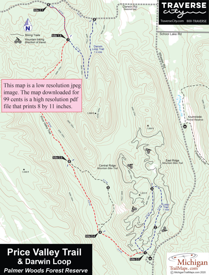
At more than 1,000 acres, Palmer Woods is by far the Leelanau Conservancy's largest natural area. The Forest Reserve's contiguous hardwood forest stretches more than 2 miles north to south and...
More Info

Wheeler Road
Glen Arbor, MI US

Region: Northwest

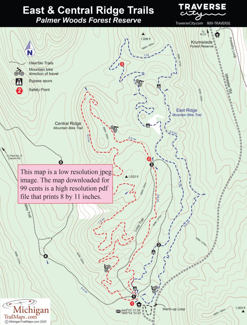
East Ridge and Central Ridge Mountain Bike Trails at Palmer Woods Forest Reserve are intermediate flow-style single tracks, allowing riders to weave downhill through a series of berms, rollers and...
More Info

Herkelrath Road
Onekama, MI US

Region: Northwest

Established in 2013, Portage Point Woods Preserve is a 120-acre tract located in Manistee County and within a quarter mile of the Nature Conservancy’s oldest preserve; Lucia K. Tower. For most...
More Info

County Road 513
Rapid City, MI US

Region: Eastern Upper Peninsula

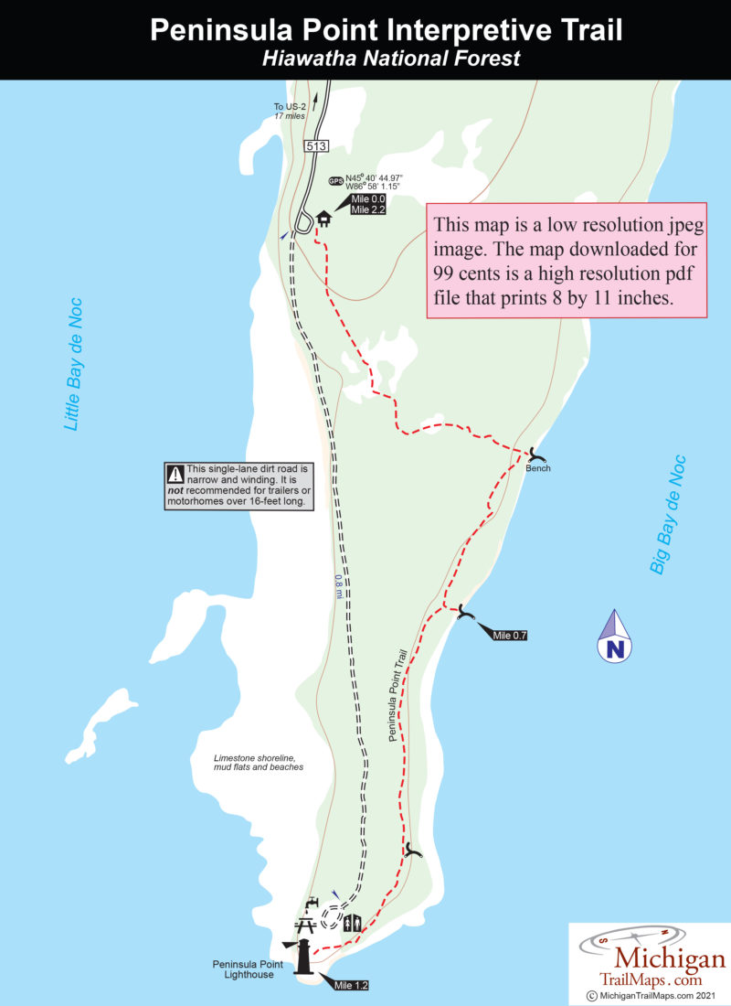
Part of the Hiawatha National Forest, Peninsula Point is a noted stopover for the annual monarch butterfly migration and the site of a historic lighthouse. Within it is Peninsula Point Interpretive...
More Info

9966 Twin Lakes Road
Vanderbilt, MI 49795 US

Phone: (989) 983-4101
Region: Northwest

One of the loneliest jobs in Northern Michigan in the 1930s – standing on top of a fire tower – is responsible for the newest trail and one of the most popular hikes in the Pigeon River Country...
More Info

Osmun and Clark Bridge Road
Vanderbilt, MI 49795 US

Region: Northwest

A short trail that ends at a bench, a scenic view of forested ridges and water and if you're lucky elk feeding in a grassy meadow below.
More Info

List of Trails

Trails found: 358
showing 1 through 20 of 55

Paint Creek Trail

Distance:
8.9 miles point-to-point
Type:
Crushed limestone rail-trail
Terrain:
Woods, fields, Paint Creek
Difficulty:
Moderate
Nearest City or Town:
Rochester

Palmer Woods: Hiking Trails

Distance:
3.8 miles
Type:
Foot path, Nordic ski trail
Terrain:
Forested ridges
Difficulty:
Easy
Nearest City or Town:
Glen Arbor

Palmer Woods: Mountain Biking Trails

Distance:
3 and 2.8-mile loops
Type:
Mountain bike Single track
Terrain:
Forested ridges
Difficulty:
Moderate
Nearest City or Town:
Glen Arbor

Parker Mill Park: Hoyt Post Trail

Distance:
1.4 miles round trip
Type:
Foot path
Terrain:
Fleming Creek, Huron River
Difficulty:
Easy
Nearest City or Town:
Ann Arbor

Pelizzari Natural Area

Distance:
2.8 miles
Type:
Foot path, Nordic ski trail
Terrain:
Fields, woods, giant Hemlocks
Difficulty:
Easy
Nearest City or Town:
Traverse City

Peninsula Point Interpretive Trail

Distance:
2.2 miles loop
Type:
Two-track and foot path
Terrain:
Woods, meadows and Lake Michigan
Difficulty:
Easy
Nearest City or Town:
Rapid City

Petoskey State Park

Distance:
0.5 to 1.5 miles
Type:
Foot and ski trails
Terrain:
Sand dunes
Difficulty:
Easy
Nearest City or Town:
Petoskey

Petoskey State Park: Old Baldy Trail

Distance:
0.5-mile loop
Type:
Foot trail
Terrain:
Wooded dune
Difficulty:
Easy
Nearest City or Town:
Petoskey

Petoskey State Park: Portage Trail

Distance:
1 mile
Type:
Foot path
Terrain:
Wooded dune
Difficulty:
Easy
Nearest City or Town:
Petoskey

Petoskey State Park: Ski Trails

Distance:
1.5 miles
Type:
Cross-country ski trails
Terrain:
Woods and unplowed road
Difficulty:
Easy
Nearest City or Town:
Petoskey

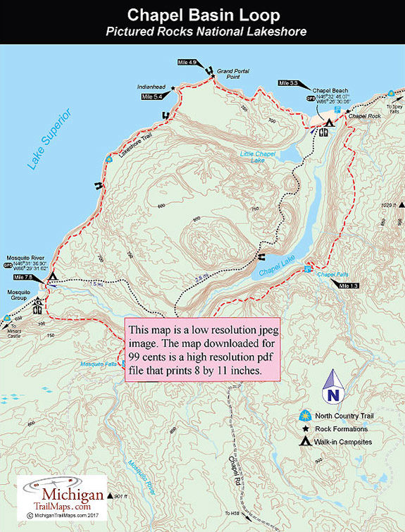
Pictured Rocks - Chapel Basin Loop

Distance:
10.4 miles
Type:
Foot path
Terrain:
Pictured Rocks, Lake Superior
Difficulty:
Moderate
Nearest City or Town:
Munising

Pictured Rocks National Lakeshore

Distance:
0.25 to 42.4 miles
Type:
Foot path, Nordic ski trail
Terrain:
Sandstone cliffs, Lake Superior, waterfalls
Difficulty:
Easy to challenging
Nearest City or Town:
Munising

Pictured Rocks: Lakeshore Trail

Distance:
42.4 miles
Type:
Foot path
Terrain:
Sandstone cliffs, waterfalls, Lake Superior
Difficulty:
Moderate
Nearest City or Town:
Munising

Pigeon River Country SF Green Timbers: Honeymoon Overlook

Distance:
7.6 or 2.25 miles round-trip
Type:
Overgrown two-tracks
Terrain:
Rolling woods, Sturgeon River
Difficulty:
Easy to moderate
Nearest City or Town:
Vanderbilt

Pigeon River Country SF Green Timbers: Reynolds Road Angler Access
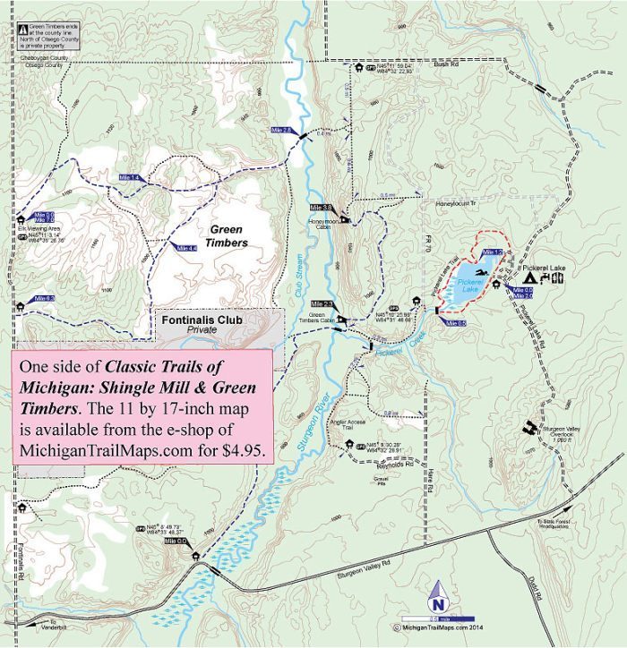
Distance:
0.25 miles one-way
Type:
Foot path
Terrain:
Sturgeon River
Difficulty:
Easy
Nearest City or Town:
Vanderbilt

Pigeon River Country SF: Green Timbers
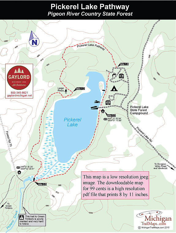
Distance:
0.5 miles to 7.6 miles round trip
Type:
Overgrown two-tracks, foot path
Terrain:
Rolling woods, Sturgeon River
Difficulty:
Easy to moderate
Nearest City or Town:
Vanderbilt

Pigeon River Country SF: Inspiration Point Pathway

Distance:
Round Trip of 0.5 miles
Type:
Foot path
Terrain:
Open fields and ridge
Difficulty:
Easy
Nearest City or Town:
Vanderbilt

Pigeon River Country SF: Pickerel Lake Pathway
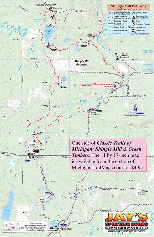
Distance:
2-mile loop
Type:
Foot path
Terrain:
Pickerel Lake, cedar swamp
Difficulty:
Easy
Nearest City or Town:
Vanderbilt

Pigeon River Country SF: Shingle Mill Pathway

Distance:
1.2, 6, 10 or 11 -mile loops
Type:
Multi-use trail
Terrain:
Pigeon River, forested ridges
Difficulty:
Easy to challenging
Nearest City or Town:
Vanderbilt

Pigeon River Country SF: Towerman's Watch Pathway

Distance:
Loops of 3.1 or 3.7 miles
Type:
Foot path
Terrain:
Rolling wooded hills and ridges
Difficulty:
Moderate
Nearest City or Town:
Vanderbilt

showing 1 through 20 of 55
Previous page Next page
Michigan TrailMaps.com Michigan's Premier Trail Resource Contact

Trail Mix News

by travel and outdoor writer Jim DuFresne!

Sign Up
Enews Signup
Find a Trail

Find Trails & Maps

Search for Trail
Search by Location
Search by