322

Trails Reviewed

Find Trails & Maps

Search for Trail
Search by Location
Search by


Search Terms:
Map
FILTERS
Close

Refine Search

By Activities:
By Regions:
By Name:

M-32
Gaylord, MI US

Phone: (989) 732-3541
Region: Northwest

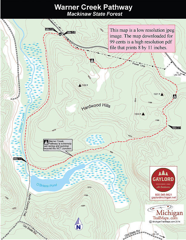
Located 15 miles west of Gaylord, Warner Creek is a lightly used ski trail in the winter that offers scenery and solitude. It winds through Hardwood Hills, a rugged slice of the Mackinaw State...
More Info

12032 Red Arrow Highway
Sawyer, MI 49125 US

Phone: (269) 426-4013
Region: Lake Michigan

Michigan's famous sand dunes begin at Warren Dunes State Park. The 1,952-acre unit is the first unit along Lake Michigan, located just 12 miles north of the state border in Berrien County. It's a...
More Info

12032 Red Arrow Highway
Sawyer, MI 49125 US

Phone: (269) 426-4013
Region: Lake Michigan

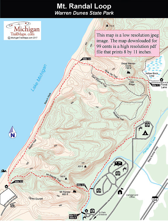
The Mt. Randal Loop is a combination of three trails and a shoreline walk that makes for a 4-mile trek and the best hike in this 1,952-acre park. This outing includes a bit of everything: a stroll...
More Info

2800 State Park Road
Monroe, MI 48162 US

Phone: (734) 289-2715
Region: Southeast
Website

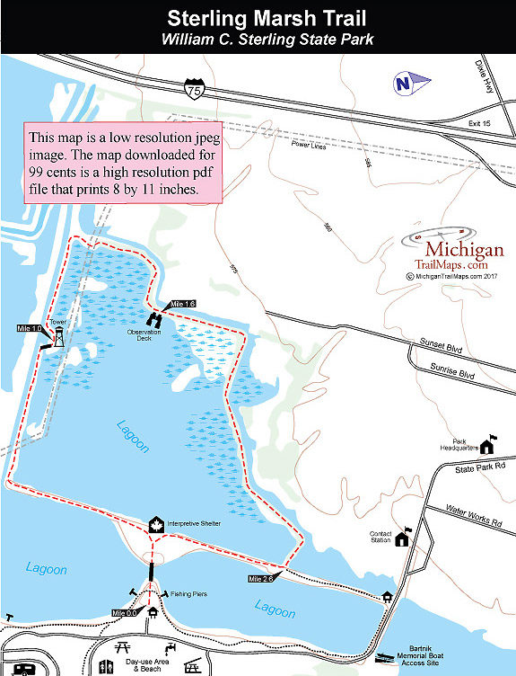
William C. Sterling State Park is best known as the only Michigan park on Lake Erie, for its sandy beach and as a popular departure point for walleye anglers. But the park is dedicated to marshland...
More Info

M-32
Gaylord, MI US

Phone: (989) 732-3541
Region: Northwest

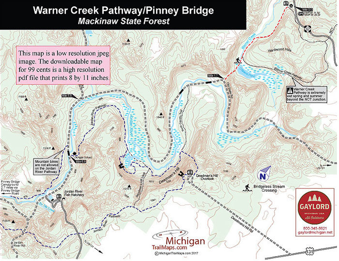
This is an easy mountain bike ride through two of Northern Michigan's most scenic river valleys. The route is almost entirely forest roads and old two-tracks and crosses through two distinctly...
More Info

903 Wilderness Park Drive
Mackinaw City, MI 49718 US

Phone: (231) 436-5381
Region: Northwest

Wilderness State Park in Emmet County may have cabins for rent, a boat launch, two campgrounds and a day-use area on Lake Michigan, but for most visitors the outstanding feature is its undeveloped...
More Info

903 Wilderness Park Drive
Mackinaw City, MI 49718 US

Phone: (231) 436-5381
Region: Northwest

The largest piece of contiguous, undeveloped land in the Lower Peninsula is Wilderness State Park, a 10,500-acre tract that includes a rugged interior ranging from mature hardwood forests and vast...
More Info

903 Wilderness Park Drive
Mackinaw City, MI 49718 US

Phone: (231) 436-5381
Region: Northwest

One of the most interesting day hikes in Wilderness State Park and certainly the driest is this loop that combines Nebo Trail, Old South Boundary Trail and the trail known as Swamp Line Road with...
More Info

903 Wilderness Park Drive
Mackinaw City, MI 49718 US

Phone: (231) 436-5381
Region: Northwest

Three short trails can be linked together at Wilderness State Park to make for a delightful day hike of 4 miles though a variety of terrain and natural features. The trek includes following a...
More Info

903 Wilderness Park Drive
Mackinaw City, MI 49718 US

Phone: (231) 436-5381
Region: Northwest

Pondside Trail is a 0.25-mile loop around Goose Pond, with interpretive posts numbered clockwise. It also provides access to three other trails; Red Pine Trail, Big Stone Creek and Wilkenhs Trail....
More Info

Forest Highway 9300
Marenisco, MI US

Phone: (906) 358-4724
Region: Western Upper Peninsula

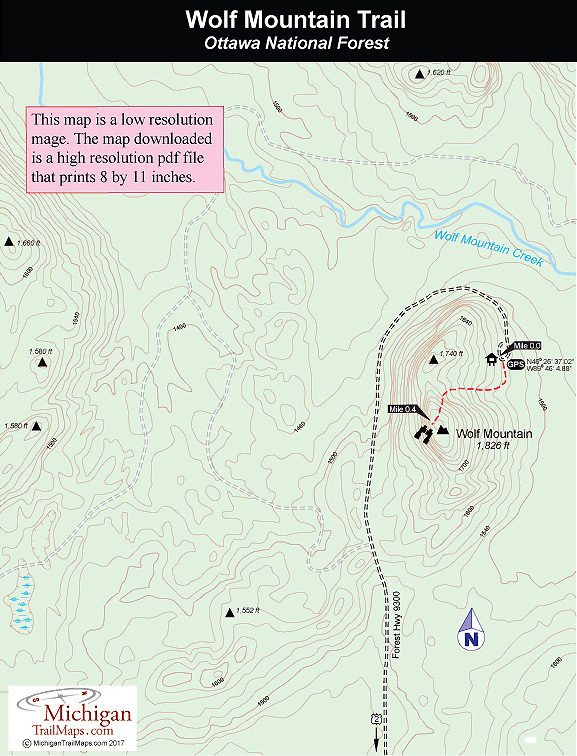
Even in Michigan mountaintop camping is possible. There are many places scattered across the Upper Peninsula where you can pitch a small tent on knobs and open ridges and then spend an evening...
More Info

Wildwood Road
Indian River, MI US

Phone: (989) 732-3541
Region: Northwest

Located in the upland forests along the hilly border of Cheboygan and Emmet Counties, Wildwood Hills Pathway is an 11-mile trail system of three loops that is true to its name. The pathway winds...
More Info

17030 Bush Rd.
Chelsea, MI 48118 US

Phone: (734) 475-3170
Region: Heartland
Website

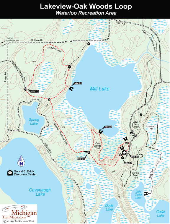
Located among the rolling hills of Waterloo Recreation Area, between Jackson and Ann Arbor, is the Gerald E. Eddy Discovery Center. Originally a nature center that was closed due to state budget...
More Info

Elm Valley Road
Sawyer, MI 49125 US

Phone: (269) 426-4013
Region: Lake Michigan

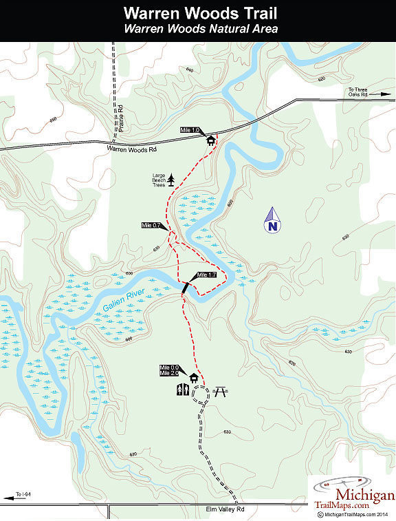
In1879 and only seven years after the countrys first national park, Yellowstone, was established, Edward K. Warrenwaspurchased Warren Woods. Warrenat the time was apartner of a general store in...
More Info

M-72
Grayling, MI US

Phone: (989) 826-3252
Region: Northwest

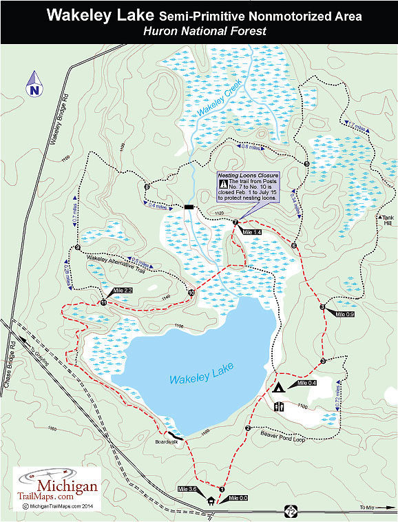
Most of the people who know and visit Wakeley Lake are anglers looking for a quality fishing experience. Because of special regulations such as walk-in access, the lake has developed a loyal...
More Info

M-22
Leland, MI US

Phone: (231) 256-9669
Region: Northwest
Website

The views are what attract most hikers to this 40-ace preserve but the flora can be fascinating. In the spring, the forest is covered by vast swaths of wildflowers such as trillium and columbine....
More Info

M-72
Mio, MI US

Phone: (989) 826-3252
Region: Lake Huron (Includes the Thumb)
Website

Wolf Creek is described by the National Forest Service as a semi-primitive experience. Yet its main trailhead is located right in the heart of Mio, Michigan. This is an unusual trail to say the...
More Info

List of Trails

Trails found: 358
showing 1 through 17 of 17

Wakeley Lake - Huron National Forest

Distance:
3.9 miles
Type:
Multi-use trail
Terrain:
Wakeley Lake, wetlands
Difficulty:
Easy
Nearest City or Town:
Grayling

Warner Creek Pathway

Distance:
3.8-mile loop
Type:
Cross-country skiing
Terrain:
Warner Creek and wooded hills
Difficulty:
Easy
Nearest City or Town:
Gaylord

Warner Creek Pathway-Pinney Bridge

Distance:
12 miles one-way
Type:
Two-tracks
Terrain:
Jordan River Valley
Difficulty:
Easy
Nearest City or Town:
Gaylord

Warren Dunes State Park

Distance:
0.2 to 4 miles
Type:
Foot path
Terrain:
Sand dunes
Difficulty:
Easy to challenging
Nearest City or Town:
Sawyer

Warren Dunes State Park: Mt. Randal Loop
Distance:
4 miles
Type:
Foot path
Terrain:
Sand dunes
Difficulty:
Moderate
Nearest City or Town:
Sawyer

Warren Woods Natural Area

Distance:
2 miles
Type:
Foot path
Terrain:
Beech/maple climax forest
Difficulty:
Easy
Nearest City or Town:
Sawyer

Waterloo Recreation Area: Lakeview-Oak Woods Trails
Distance:
3.8 miles
Type:
Foot trail
Terrain:
Lakes, wetlands and ridges
Difficulty:
Easy
Nearest City or Town:
Chelsea

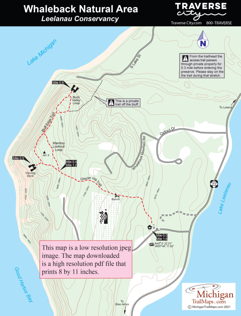
Whaleback Natural Area

Distance:
1.6 miles
Type:
Foot path
Terrain:
Coastal bluff
Difficulty:
Easy to moderate
Nearest City or Town:
Leland

Wilderness State Park

Distance:
38 miles of trails
Type:
Multi-use trails
Terrain:
Flat to rolling forests and wetlands
Difficulty:
Easy to moderate
Nearest City or Town:
Mackinaw City

Wilderness State Park: Nebo Trail-Swamp Line Loop

Distance:
8.35-mile loop
Type:
Multi-use trail
Terrain:
Flat to rolling forests and wetlands
Difficulty:
Easy
Nearest City or Town:
Mackinaw City

Wilderness State Park: O'Neal Lake Trail Loop
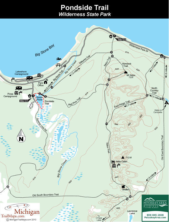
Distance:
13-mile loop
Type:
Two-tracks, foot paths
Terrain:
O'Neal Lake, forests and wetlands
Difficulty:
Moderate
Nearest City or Town:
Mackinaw City

Wilderness State Park: Pondside Trail
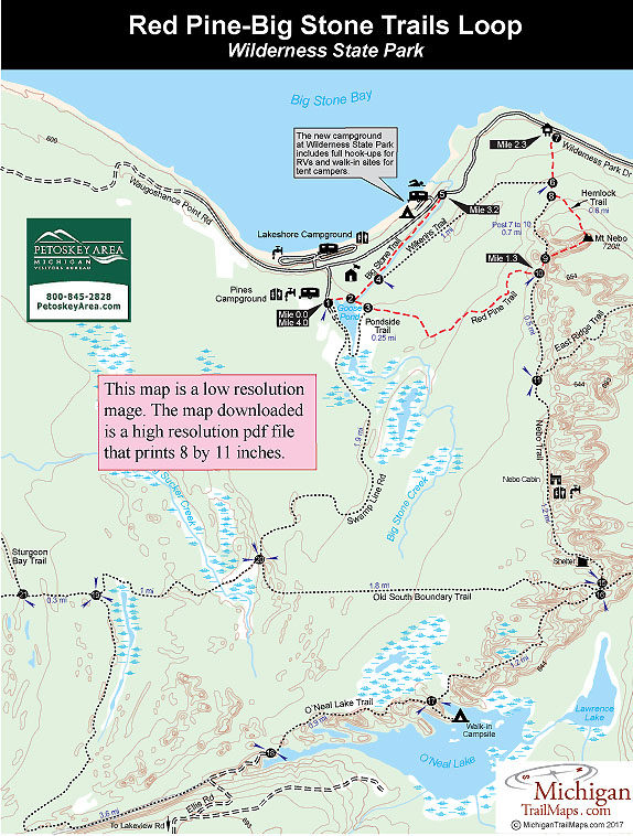
Distance:
0.25 miles
Type:
Interpretive trail
Terrain:
Pond and wetlands
Difficulty:
Easy
Nearest City or Town:
Mackinaw City

Wilderness State Park: Red Pine-Big Stone Trails Loop
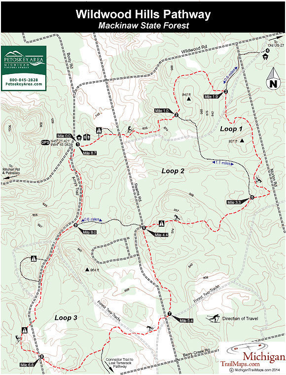
Distance:
4-mile loop
Type:
Interpretive trail
Terrain:
Flat to rolling forests
Difficulty:
Easy
Nearest City or Town:
Mackinaw City

Wildwood Hills Pathway

Distance:
4.5, 5.7, 7.5, 8.7-mile loops
Type:
Cross-country skiing, mountain biking
Terrain:
Forested ridges and hills
Difficulty:
Moderate
Nearest City or Town:
Indian River

William C. Sterling State Park

Distance:
3.0-mile loop
Type:
Paved path
Terrain:
Dikes, wetlands
Difficulty:
Easy
Nearest City or Town:
Monroe

Wolf Creek Trail

Distance:
4.2 miles
Type:
Foot trail, cross-country ski trail
Terrain:
Au Sable River
Difficulty:
Easy
Nearest City or Town:
Mio

Wolf Mountain Trail-Ottawa National Forest

Distance:
0.8-mile rount trip
Type:
Foot path
Terrain:
Wolf Mountain
Difficulty:
Easy
Nearest City or Town:
Marenisco

showing 1 through 17 of 17
Previous page Next page
Michigan TrailMaps.com Michigan's Premier Trail Resource Contact

Trail Mix News

by travel and outdoor writer Jim DuFresne!

Sign Up
Enews Signup
Find a Trail

Find Trails & Maps

Search for Trail
Search by Location
Search by