Bay City State Park
Trail Details

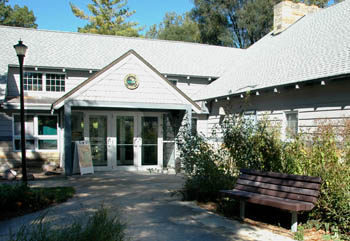
In the early 1990s, the park received much needed attention with a major renovation. The size was increased from 196 acres to more than 2,200 when adjoining Tobico Marsh was added. The Saginaw Bay Visitor Center was added, the campground improved and, most important, a new beach and swimming area was built at north end of the park.
Today Bay City State Park is home to Tobico Marsh, the largest remaining coastal wetlands on the Great Lakes, a mile of Saginaw Bay shoreline and tracts of wetland woods, wet meadows, cattail marshlands and oak savannah prairies make it an ideal staging area for migratory birds. The park has long been known for its outstanding variety of bird life and as a haven for wetland wildlife and plants.
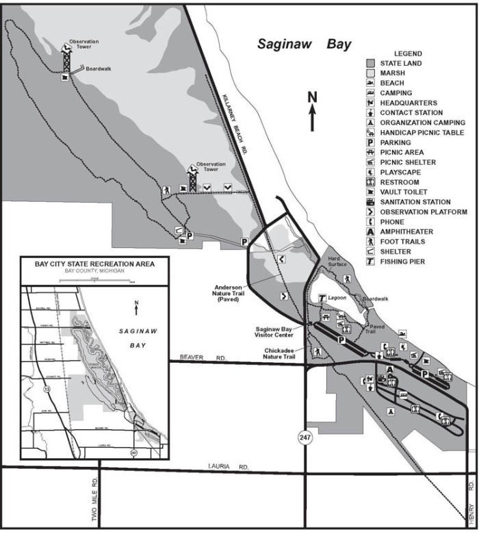
With the recreation area’s increased size came increased opportunities for trail users. Within the original state park are the short Lagoon Trail and Chickadee Nature Trail, both under a mile in length. Connecting the Saginaw Bay Visitor Center with Tobico Marsh is the Frank N. Andersen Trail, a 1.25-mile long paved rail-trail. Within Tobico Marsh are a pair of loops, the 2.7-mile Big Loop Trail and the 0.45 mile Little Loop Trail. From the Chickadee Nature Trail, a paved path heads south to connect the park with the Bay County Riverwalk Rail-Trail. This rail-trail is a 17.5-mile network of walkways and pathways that winds through downtown Bay City, skirts the Saginaw River at Veteran's Memorial Park and passes through woodlands and marshes to agricultural and residential areas of Portsmouth, Hampton and Bangor Townships.
By far the most popular trails in the park are the Andersen Trail and Tobico Marsh which are often combined to form a nearly 5-mile outing from the Saginaw Bay Visitor Center that are open to hikers, mountain bikers and, to a lesser degree, Nordic skiers in the winter.
| Camping |
| Difficulty - Moderate |
| Dog Friendly |
| Foot Path |
| Multi-use Trail |
| Paved Trail |
Geo-referenced maps from MichiganTrailMaps.com range from $1.99 to $2.99 each.
Download the Avenza app from the App Store or Google Play


