Brighton Recreation Area: Penosha Trail
Buy the $.99 downloadable map!
(This map is not geo-referenced)Trail Details
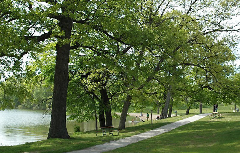
The glaciers of the Pleistocene epoch were responsible for Brighton Recreation Area’s rolling topography of moraines and ridges, steep-sided kettles, and numerous lakes and ponds. As towns such as Brighton and Howell grew in the 1800s, woodlands were cleared, and farms developed but were never very productive. It was a challenge to make a living by plowing land characterized by glacial drift and wetlands. During the depression of the 1930s, it became impossible, and farmers began selling out or, in many cases, simply abandoning their property with the state purchasing much of the park between 1944 and 1949.
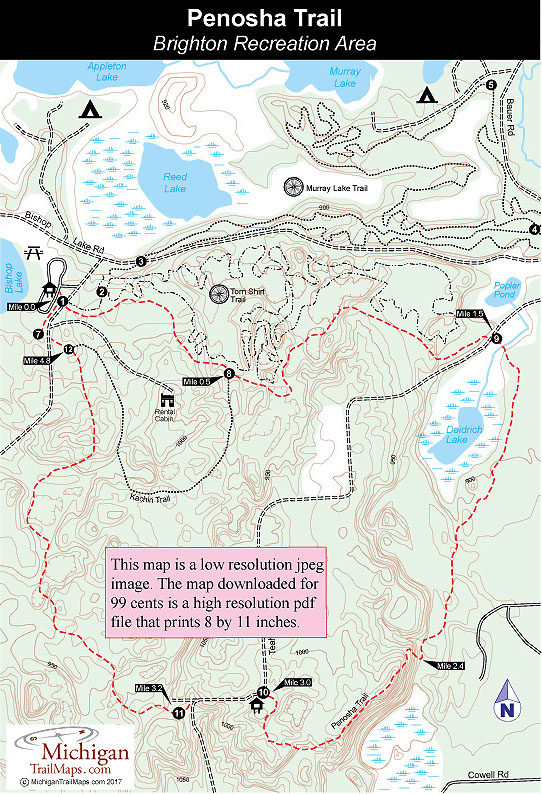
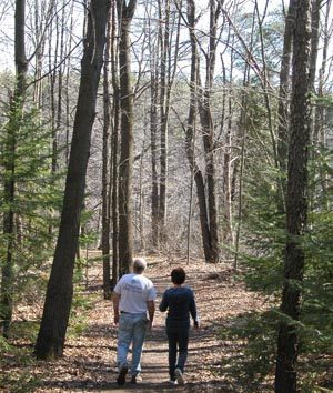
Penosha is the Chippewa word for long and for most people this 5-mile trail is just that, a two-and-half to three-hour hike through a hardwood forest of maple, hickory, and oak. Despite all the lakes within the park, the scenery along this walk does not include any of them and is not overly spectacular. But the land is interesting and the trees impressive, and together they provide for a pleasant afternoon in the forest walk with only a few man-made intrusions in view. That includes mountain bikers. Since the late 1990s, they have had their own trail system at Brighton Recreation Area and are prohibited from Penosha.
The trail is well marked by posts with blue dots and maps at all major junctions, making it easy to follow. There are no lakes along the route but there are numerous ponds and small marshes, making it buggy at times in late June and early July. The best time to hike is spring and fall. By early April the snow is gone and wildflowers begin to emerge and by May morel mushroom hunters can be seen poking the ground with long sticks. In the fall leaves begin turning between late September and early October, peaking at the end of that month and lingering on well into November. The trail receives its heaviest use during that period, but even on a bright and crisp weekend, you'll see only a handful of other hikers.
| Camping |
| Difficulty - Moderate |
| Dog Friendly |
| Foot Path |
Geo-referenced maps from MichiganTrailMaps.com range from $1.99 to $2.99 each.
Download the Avenza app from the App Store or Google Play


