Cadillac Pathway
Buy the $.99 downloadable map!
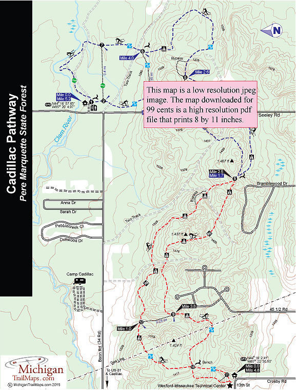
(This map is not geo-referenced)Trail Details

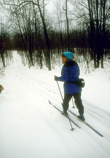
Sometimes you have to drive five or six hours to the Upper Peninsula to find enough snow to justify stepping into your Nordic skis. And sometimes Heikki Lunta is smiling down on you and all you have to do is drive an hour or two to find well-set tracks.
If the Yopper snow god is smiling, then head to Cadillac Pathway.
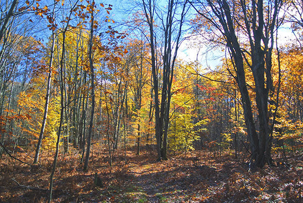
This 11.5-mile network of six loops is neither the most scenic trail in Michigan nor the most challenging. It doesn't even have a skating lane. But for classic skiers, especially those on the western side of the state, it's often the quickest destination to the first ski of the season.
The pathway is on the edge of Cadillac, less than two miles from US-131, yet part of the Pere Marquette State Forest. You're in the middle of the woods, watching a deer scamper through the trees but only a five-minute drive from nutritionally rebounding at the fast food restaurant of your choice.
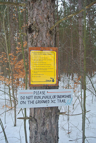
And the pathway is guaranteed to be well groomed. In 2010, when the Department of Natural Resources was slashing funds from its Nordic ski budget, locals formed the Friends of Cadillac Pathway. It was the “Friends” who raised the money that allowed the DNR to continue setting track at their beloved trail system that winter. The Friends have been grooming their ski area ever since.
But the pathway’s most important attribute is its elevation. Located just 14 miles southeast of the highest point in the Lower Peninsula - Briar Hill at 1706 feet – Cadillac Pathway is a high, rolling ridge that runs from east to west. The pathway tops 1,400 feet five times and the segment from post No. 4 to post No. 8 is a mile-long climb of almost 130 feet.
That gives the pathway a lofty status in the Lower Peninsula. The trail’s higher overall elevation not only equates to a hilly ski with lots of thrills, and for many of us a few spills, it’s the reason Cadillac Pathway is the southernmost groomed state pathway in Michigan.
In short, there is more snow here early in the season that stays around longer at the end.
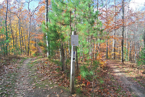
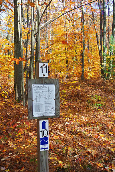
Cadillac Pathway is basically a figure eight that is accessed from two trailheads at each end and in the middle crosses Seeley Road. The east end, occasionally referred to as Deer Loop for the numerous whitetails that winter there, offers the easiest skiing with loops of 1.3, 2 and 3.5 miles. The west end provides access to the most challenging terrain with loops of 2.25 and 4.85 miles. The perimeter of the entire system from the east trailhead is a 9.5 loop.
| Difficulty - Challenging |
| Difficulty - Moderate |
| Dog Friendly |
| Foot Path |
| Groomed Classic Skiing |
| Mountain Bike Single Track |
Geo-referenced maps from MichiganTrailMaps.com range from $1.99 to $2.99 each.
Download the Avenza app from the App Store or Google Play


