
Cedar Creek Natural Area
Buy the $.99 downloadable map!
(This map is not geo-referenced)Trail Details

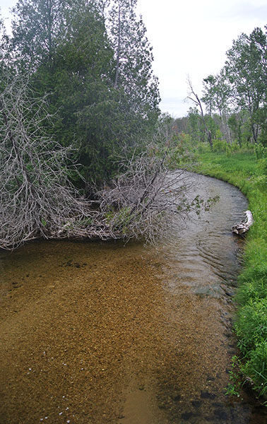
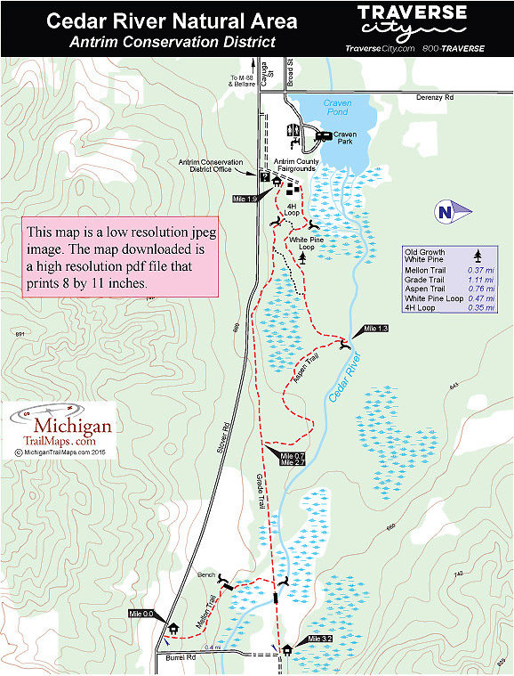
Managed by the Antrim Conservation District, officials readily admit that the preserve, located on the doorstep of Bellaire, is probably the least known trail system in Antrim County. The 193-acre natural area stretches between the Antrim County Fairgrounds east to Burrel Road and features 1.5 miles of the designated blue ribbon trout stream and 3 miles of trails.
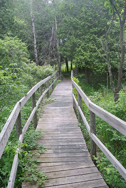
The trails wind through a variety of habitat, including wetlands, cedar swamps, stands of hemlock, and riparian forest along the Cedar River, and a handful of interpretive signs explain many of them. Three trailheads provide access into the preserve with the Fairground Trailhead, a short walk for campers staying at nearby Craven Park Campground, being the most popular.
The description below begins at the Mellon Trailhead, however, and includes all five trails plus backtracking a short distance on the Grade Trail for a 3.2-mile outing that ends at Burrel Road Trailhead. Add another 0.4 mile if you need to walk back to your vehicle off of Stover Road.
The natural area makes for an interesting place to hike in spring for wildflower viewing and in October for fall colors while cross-country skiers, mostly locals, take to the trails in the winter. In June and July, the wetlands give rise to enough bugs to require insect repellent. No matter what time of the year you “discover” Cedar River Natural Area, you can quickly revive from an afternoon on the paths at Shorts Brewing Company whose brewpub is just five minutes away in downtown Bellaire.
| Camping |
| Difficulty - Easy |
| Dog Friendly |
| Foot Path |
Geo-referenced maps from MichiganTrailMaps.com range from $1.99 to $2.99 each.
Download the Avenza app from the App Store or Google Play


