
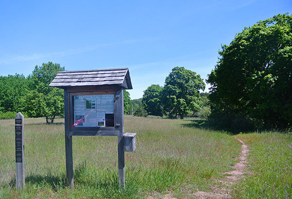
Chippewa Run Natural Area
Buy the $.99 downloadable map!
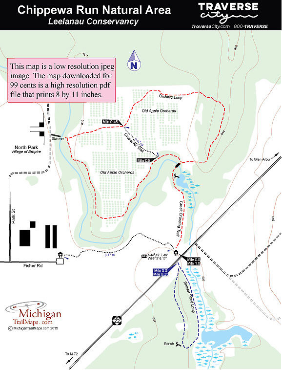
(This map is not geo-referenced)Trail Details


Chippewa Run is a groundwater-fed stream that flows a mile west into South Bar Lake and is named for the Anishinaabek tribes – or Chippewa Indians – who staged seasonal hunting and fishing encampments along it. Early settlers cleared much of the land and planted orchards on both sides of the creek. Eventually, the tract became known as the “Gateway to Empire” and when it was at risk of becoming a housing development the Leelanau Conservancy led a successful campaign to purchase the area. Chippewa Run Natural Area was dedicated in 2000.
Since then, Conservancy volunteers have recorded nearly 80 species of birds at Chippewa Run. They range from American bitterns, great blue herons and wild turkeys to grasshopper sparrows and Eastern meadowlarks in the meadows, northern waterthrushes and Wilson’s warblers in the thickets and a variety of waterfowl in the ponds and wetlands. At the south end of the preserve, green herons nest in the pines.
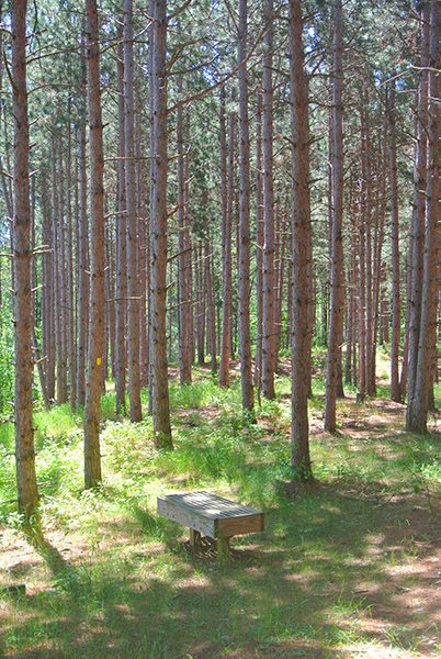
Much of the trail system was built in 2007-08 and today is a pair of separate loops that total less than 1.5 miles. Though it is short, the scenery is interesting and includes a variety of wildflowers, blue flag iris, cardinal flower and water lilies among them. There are excellent fall colors along the creek and old apple trees that still bear fruit.
| Difficulty - Easy |
| Foot Path |
Geo-referenced maps from MichiganTrailMaps.com range from $1.99 to $2.99 each.
Download the Avenza app from the App Store or Google Play


