Clay Cliffs Natural Area

Buy the $.99 downloadable map!
(This map is not geo-referenced)Trail Details

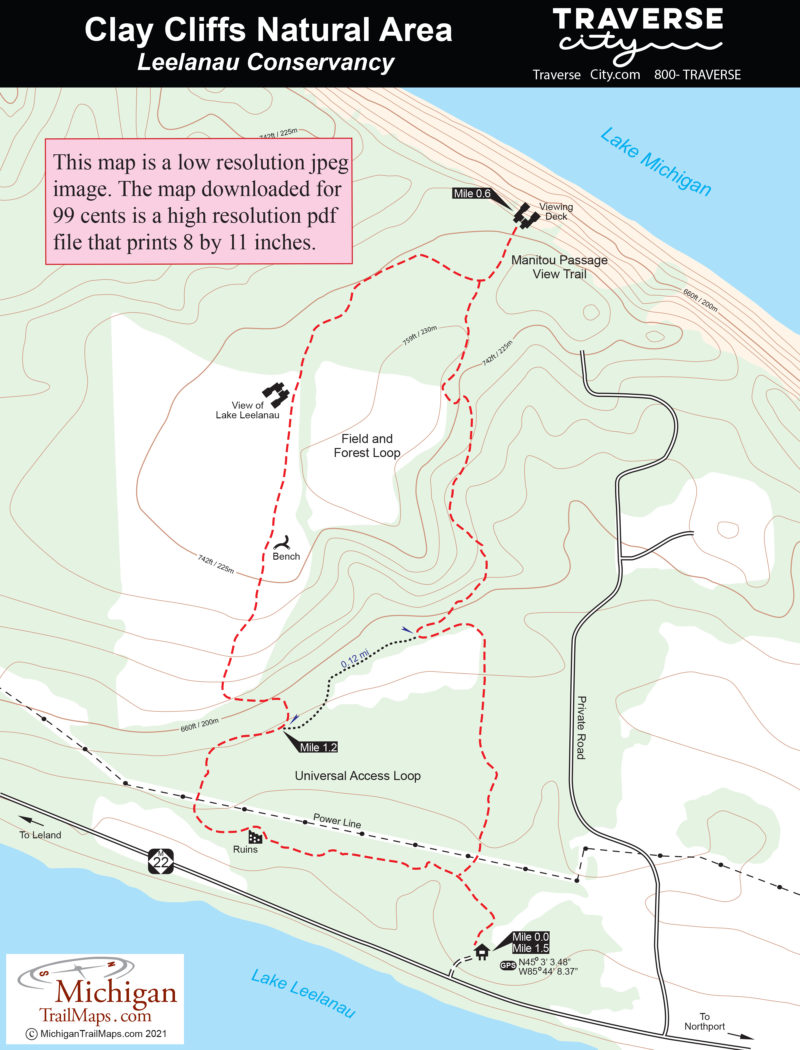
Much like Whaleback Natural Area just to the south on M-22, Clay Cliffs is a forested drumlin sculptured by glaciers and later waves resulting in 200-foot bluffs of glacial debris that rises dramatically above Lake Michigan. A portion of the area was once farmed and today the preserve is a mix of century-old hardwoods, cleared hayfields, open meadows and wetland seeps fed by springs.
Its topography, ranging from the clay cliffs and hidden valleys to 3,500 feet of shoreline split between Lake Michigan and Lake Leelanau, provide a diverse habitat for wildflowers and wildlife. Clay Cliffs is one of the most prolific wildflower sites in Leelanau County, particularly trilliums in the spring, while its most noted residents is a pair of nesting eagles.
The preserve’s trail system along with a trailhead parking area and an observation deck perched on the edge of the cliffs was built in 2014-15 and is basically a loop with a crossover spur. Though this hike is only 1.5 miles it does involve a steady climb of almost 150 feet in elevation and an almost equally long descent. For this reason, the preferred mode of transportation in the winter are snowshoes.
| Difficulty - Easy |
| Dog Friendly |
| Foot Path |


