Dauner Martin Nature Sanctuary
Buy the $.99 downloadable map!
(This map is not geo-referenced)Trail Details
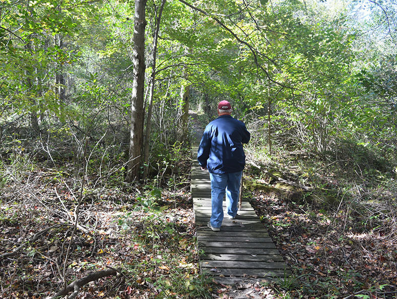

The 155-acre sanctuary and its 4.5 miles of foot paths is located within the city limits of Fenton. For those who live in and around this Genesse County town of almost 12,000 residents, Dauner Martin is a quick escape into the woods for a little trail running, to soak up fall colors or enjoy the first wildflowers of spring after a long dreary winter.
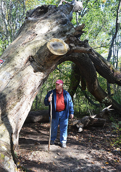
The tract dates back to 1863 when Phillip Dauner purchased the land to grow hops for his brewery in Fenton. Eventually his great grandchildren, Robert Dauner and Marion Martin, inherited the property and it was Robert who spent years planting pines in an effort to restore the natural habitat of the area. The Dauner family donated the 155 acres to the MNA in 1998 and today the sanctuary consists of large pine groves interwoven among stands of hardwoods that make Dauner Martin a forested haven. Among the 40 native tree species four here are elm, ash, cherry trees and some very large oaks.
In the beginning the trails were marked with a variety of signage and names, making them hard to follow at times. But beginning in 2010, the system was updated with color-coded posts that corresponded with diamond-shaped, plastic blazes nailed to trees. In 2017, a $14,000 grant allowed MNA to make even more improvements to the sanctuary including new trailhead information displays, upgrades to the parking areas and the removal of invasive species.
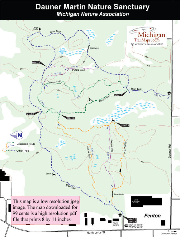
The trail system consists of four main paths. The longest is the 1.7-mile Blue Trail that begins at the Leroy Road trailhead and winds around the northern and eastern side of the sanctuary to the Dauner Road trailhead. The Yellow Trail is a 1.2-mile loop from Leroy Road and the Green Trail is a mile-long loop starting near the Dauner Road trailhead. The Purple Trail is actually two separate trail segments totaling a little over a half mile.
The hike described here is the perimeter of the system that begins at the Leroy Road trailhead and makes for a 2.5-mile outing in which only one house is seen from the trail. It’s indeed an amazing escape from the rest of Fenton.
| Difficulty - Moderate |
| Dog Friendly |
| Foot Path |
Geo-referenced maps from MichiganTrailMaps.com range from $1.99 to $2.99 each.
Download the Avenza app from the App Store or Google Play


