
Elberta Dunes South Natural Area
Buy the $.99 downloadable map!
(This map is not geo-referenced)Buy the Geo-referenced map
for use in the Avenza Maps App
Trail Details
Geo-referenced maps from MichiganTrailMaps.com are available through Avenza Maps and range from $1.99 to $2.99 each.
Download the Avenza app from the App Store or Google Play


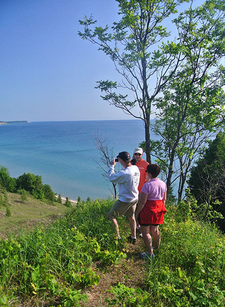

A big dune in a little town overlooking a spectacular beach.
Long used by locals as a recreation area, the tract was purchased by the village of Elberta, with assistance from the Grand Traverse Regional Land Conservancy and a grant from the Michigan Natural Resources Trust Fund, in 2010. The following year Elberta Dunes South Natural Area was dedicated as a 58-acre preserve.
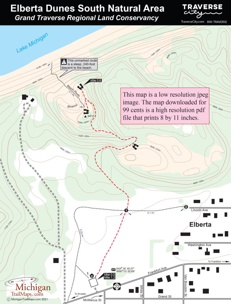
Squeezed between M-22 and Lake Michigan, Elberta Dunes South is not big nor is its trail system extensive, a mere mile or so. But the area is spectacular. Its western boundary is 1,425 feet of Lake Michigan shoreline that leads to another 1.2 miles of undeveloped beach to the north. Between the wide beach and the state highway are fields, forested ridgelines and an 845-foot dune with slopes that exceed 60 percent.
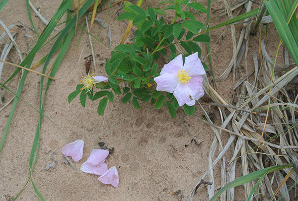
Elberta Dunes South is both beautiful and rare. Almost three-quarters of the preserve has been classified as a Critical Dune Area by the State of Michigan. Within its boundaries is the federally-listed threatened Pitcher’s Thistle and the Lake Huron Locust, a state-threatened insect, while endangered Piping Plovers use the shoreline for nesting.
Though a number of social trails crisscross the area, the preserve’s dedicated trails are well marked and easy to follow. But not especially easy to hike. The 0.6-mile, point-to-point trail climbs steeply in places until it reaches the crest of the dune to reward visitors with magnificent views. In the winter, it is an excellent destination for snowshoers.
| Difficulty - Moderate |
| Foot Path |
Geo-referenced maps from MichiganTrailMaps.com range from $1.99 to $2.99 each.
Download the Avenza app from the App Store or Google Play
