323

Trails Reviewed

Find Trails & Maps

Search for Trail
Search by Location
Search by

Back to listing

Estivant Pines Nature Sanctuary

Trail Details

County
Keweenaw
Regions
Western Upper Peninsula
Latitude
N 47° 26' 45.24"
Longitude
W 087° 52' 38.64"
Distance
2.4 miles
Trail Type
Foot path
Terrain
Forested hills and ridges
Difficulty
Moderate
Nearest City or Town
Copper Harbor
(map loads here)
view map
Estivant Pines Nature Sanctuary is Michigan Nature Association’s prized preserve, a 570.5-acre tract, which protects one of the last old-growth Eastern white pine stands in Michigan. The giant pines are viewed from a 2.3-mile network of foot trails.
Expand All
Photos
Description
Estivant Pines Nature Sanctuary and its old-growth pines are one of the most popular hikes in the Copper Harbor area, thanks to the Michigan Nature Association. When Universal Oil announced plans to log the area in 1970, the MNA rallied locals with a “Save The Pines” fundraising campaign that resulted in the purchase of the sanctuary's original 200 acres three years later. Today the preserve covers 570.5 acres in protecting one of the last old-growth Eastern White Pine stands in Michigan. Many of Estivant's pines measure 3-5 feet in diameter and are 250 to 500 years old.

Estivant Pines features a pair of adjoining loop trails that total 2.3 miles of trail. The Cathedral Gove Loop is a 1.7-mile hike from Burma Road and passes the most impressive white pines in the preserve, trees that are 125 feet tall and 300 years old. The Bertha Daubendiek Memorial Grove Trail, named after MNA’s founder, is a 1.9-mile loop past large pines but also maples and oaks. One pine on this loop was determined to have germinated around 1695 after a wildfire swept the ridge. Most visitors combine the two intersecting trails for a 2.4-mile loop from the Burma Road trailhead.

In the winter, Estivant Pines is a snowshoe adventure for most visitors that begins on a snowmobile trail as the Burma Road is now plowed for vehicles.
Amenities & Services
Difficulty - Moderate
Foot Path
Trail Guide

The perimeter of the Estivant Pines trail is a 2.4-mile trek along a well-distinguished that, at times, can get rocky. But parts are also wide where the trail follows an old mining road built in the mid-1800s from Burma Road to almost the Beaver Marsh.  At the trailhead, you enter the woods immediately and quickly reach a junction with the Memorial Grove Loop in a third of a mile – head right –  and then a junction with the Cathedral Grove Loop at Mile 0.5. Head right again to follow the perimeter.

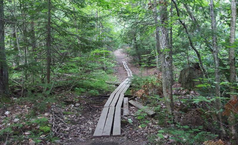
The trail now becomes a little more challenging as it climbs a rocky, root-laden slope and weaves around a large, fallen pine. Only a few old-growth pines are along the trail, so you need to spy into the woods for other large pines.  After a long descent and a boardwalk over a small stream, you arrive at the junction with Fallen Giant Trail that heads south (right) for the Beaver Marsh.

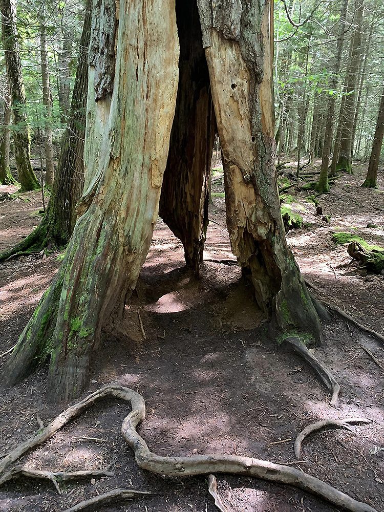
The Fallen Giant Trail is a half-mile or so route to a massive white pine that collapsed in the 1980s. The trail is not maintained nor marked. From the junction, the initial 200 yards is manageable before conditions begin to deteriorate. You can get within view of the marsh, but the rest of the trek to the fallen giant is a bushwhack across the west end of the swamp, followed by a ford of the Montreal River. There is no trail through Beaver Marsh, just fallen trees, water, and underbrush, making this side trip one for experienced hikers adequately equipped with, among other things, a GPS unit.

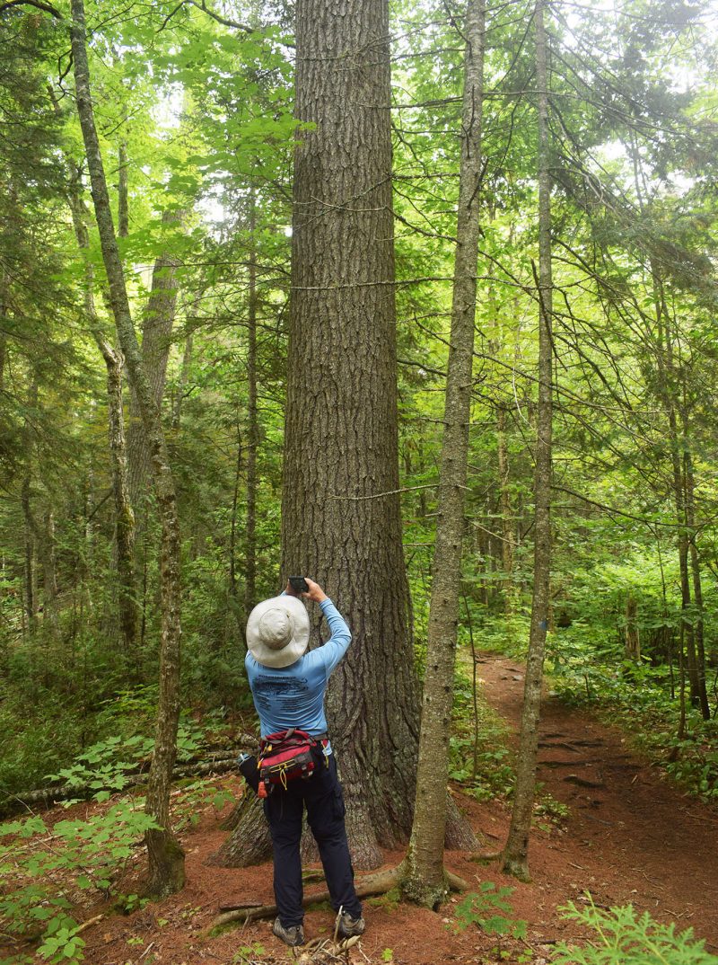
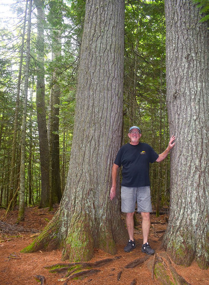
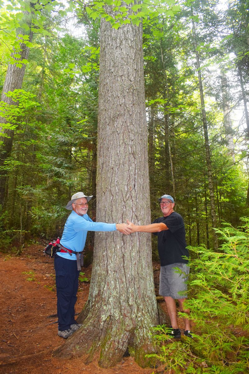
It is best to head left at the junction, and at Mile 1, you arrive at Cathedral Grove. This grove of half-dozen giant pines lines the edge of the trail and are the largest and oldest white pines in the sanctuary, with some dating back 500 years or more. In another 200 yards, you arrive at a posted junction with Memorial Grove Loop. Head right, and the trail climbs a bit before leveling off and reaching the Memorial Grove area at Mile 1.5. Here, the white pines are 200 years old and smaller; you need to look for them. One of the largest, however, is on the side of the trail with exposed gnarly roots that reach across the path.

A descent, steep at times, follows until you reach a junction passed earlier at Mile 2.1. Turn right and enjoy the easy hiking along the old mining road back to Burma Road.

Facilities

There is a parking area along Burma Road and an interpretive display at the trailhead, but no source of drinking water. Camping is not allowed.

Hours & Fees

Estivant Pines is open year-round, but Burma Road and other local roads, along with parking spaces and the trails, are not plowed or cleared in winter. There are no entry or trail fees to visit the sanctuary.

Directions

From US-41 in Copper Harbor, turn right onto 2nd Street at the
Community Center which becomes Manganese Road out of town. Follow
Manganese Road for 1.2 miles and then turn left onto Clark Mine Road for 1.2 miles to Burma Road. Turn right on Burma Road, and the posted trailhead will be reached in half a mile.

Information

For additional information on Estivant Pines, contact the Michigan Nature Association (866-223-2231).


Geo-referenced maps from MichiganTrailMaps.com range from $1.99 to $2.99 each.

Download the Avenza app from the App Store or Google Play

App Store Google Play

Michigan TrailMaps.com Michigan's Premier Trail Resource Contact

Trail Mix News

by travel and outdoor writer Jim DuFresne!

Sign Up
Enews Signup
Find a Trail

Find Trails & Maps

Search for Trail
Search by Location
Search by