Grand Mere State Park
Buy the $.99 downloadable map!
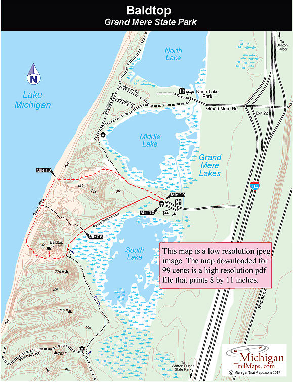
(This map is not geo-referenced)Trail Details
The glaciers that scooped out the Great Lakes 10,000 years ago also carved out a number of smaller depressions along the western edge of the state, which evolved into interdunal lakes, ponds, and wetlands. At one time, this area contained a chain of five such lakes that were protected ecologically by a line of windblown sand dunes between them and Lake Michigan. Now there are only three, a result of aquatic succession. Today Grand Mere is a textbook example of the various stages of succession from aquatic communities to terrestrial. Beginning at North Lake, you can see how each lake is progressively disappearing, with open water first turning into marsh and then woodland swamps and closed bog forests, the fate of the former two lakes that lie south of the park.
Almost 4 miles of trails form a loop through open dunes and the wooded areas of the park, but the only designated trail is a half-mile Nature Trail. The paved, handicapped accessible trail extends from the picnic shelter around South Lake, passing 10 interpretive posts that correspond to back of the park map. The rest of the trails are neither posted nor maintained. The most distinguishable trail extends almost a mile from a small parking area off Wishart Road to the west end of the Nature Trail.
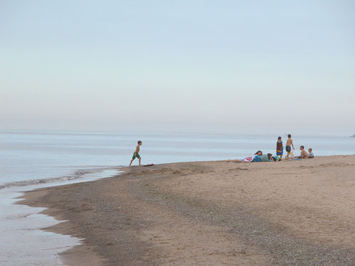
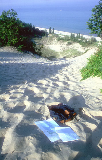
The Baldtop loop is a 2-mile hike around the park’s tallest dune and the most scenic walk in the park. Though short, it can be a workout because of the steep climb to Baldtop’s excellent views and stretches through the soft sand of open dunes. It also includes stretch along Lake Michigan where the beach is wide and somewhat private, even though you can view summer cottages at each end.
The park attracts birders in spring and fall because it lies on a major migration flyway. Almost 250 species of birds have been sighted here, including large numbers of hawks that can be seen migrating on the east winds. Birders also spot migrating common loons, cormorants, a variety of waterfowl, herons and warblers and other songbirds in the spring.
When there is sufficient snow, the park is popular with Nordic skiers, who enjoy an undeveloped, almost trailless, area to explore. Skiers can park at the end of Wishart, a half-mile drive from its junction with Willow Road. None of the trails are groomed, and there is no ski rental concession in the park.
| Difficulty - Easy |
| Difficulty - Moderate |
| Foot Path |
| Paved Trail |
Geo-referenced maps from MichiganTrailMaps.com range from $1.99 to $2.99 each.
Download the Avenza app from the App Store or Google Play


