Hawk Woods Nature Center
Buy the $.99 downloadable map!
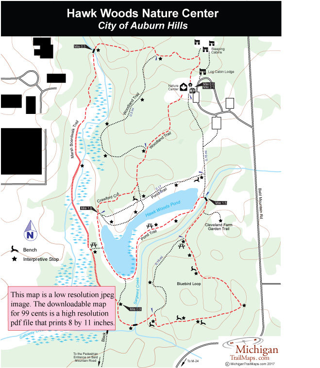
(This map is not geo-referenced)Trail Details


Hawk Woods dates back to 1837 when the Crawford family arrived in Oakland County the year Michigan became a state and began homesteading a farm deeded to them by President Andrew Jackson. Eventually the area was turned into a nature center by the Pontiac School District, whose students were responsible for building many of the park’s cabins and segments of trails. Unable to support the preserve financially, the Pontiac School District sold the property in 1992 to city of Auburn Hills which took over Hawk Woods at the urging of city councilman E. Dale Fisk.
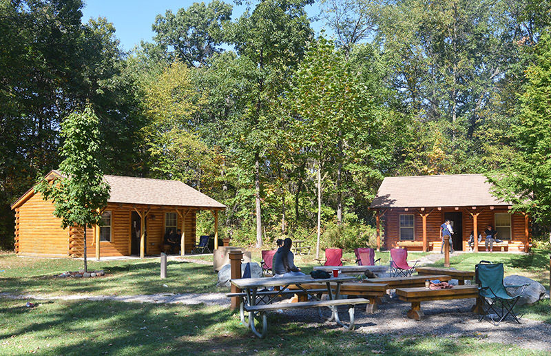
For its size, Hawk Woods has amazing array of facilities including shelters, picnic areas, six sleeping cabins with tent sites, a two-story log lodge for functions, a heated restroom with showers and a small nature center. Winding through the preserve are more than 3 miles of foot trails of crushed limestone, mowed grassy lanes, wood chips, and wooden boardwalks.
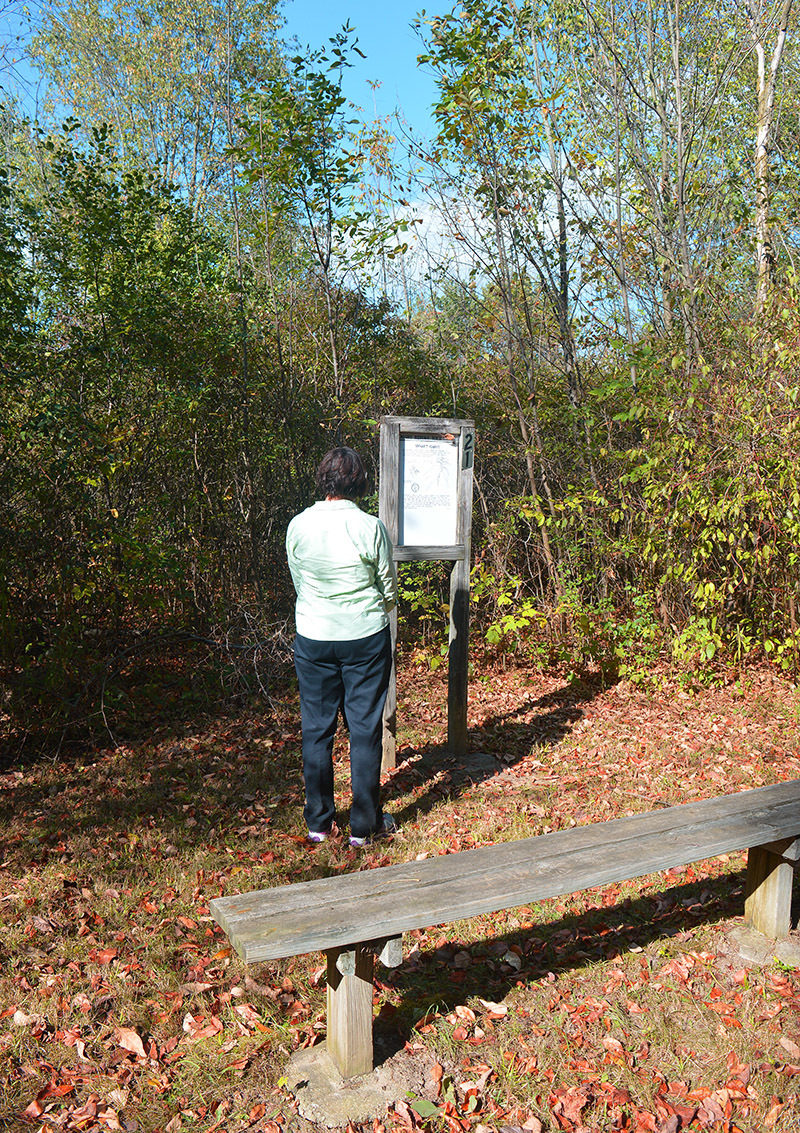
The trail system is a combination of short loops and connectors and lined by almost 30 “Right Before Your Eyes” interpretive signs, many of them erected and maintained as Eagle projects by local Boy Scouts. The described outing below is a 2.1-mile hike that combines portions of Hawk Woods’ four most popular trails and passes its most interesting natural features.
| Camping |
| Difficulty - Easy |
| Dog Friendly |
| Foot Path |
Geo-referenced maps from MichiganTrailMaps.com range from $1.99 to $2.99 each.
Download the Avenza app from the App Store or Google Play


