
Hickory Meadows
Buy the $.99 downloadable map!
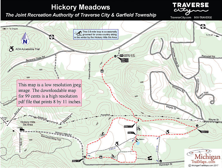
(This map is not geo-referenced)Trail Details


The Oleson family also allowed hikers, bikers and dog owners to access to the fields and for decades Hickory Meadows was locally known as a quick escape from the city that now surrounds it. Today it’s a permanent escape. In 2004, voters of Traverse City and Garfield Township approved a tax millage that turned these interlocking fields into a 112.5-acre park.
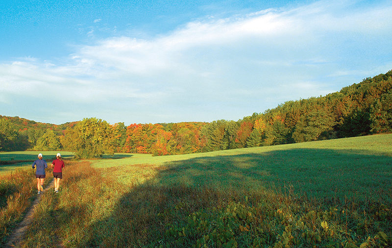
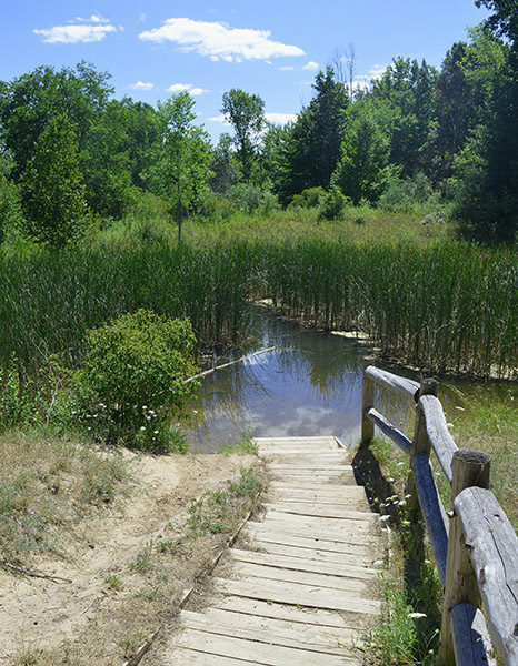
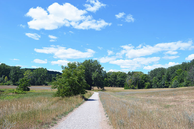
Hickory Meadows is a classic urban trail system that is perched high above city neighborhoods but bounded on three sides by even taller hills. It offers 2 miles of unpaved paths that wander over hills, across meadows and through woodlands. Overall the hiking is easy but the park is located at the foot of the Hickory Hills Ski Area where the ambitious can finished their outing with a 230-foot climb to the top of Hickory Hill itself.
In the summer, Hickory Meadows is a popular destination for hikers, dog walkers and families looking for an easy outing on their mountain bikes. In the winter cross-country skiers arrive to follow the well-marked trail system along skier-set tracks.
Adjacent to Hickory Meadows is Hickory Hills Ski Area. Along with its eight downhill runs and five rope tows, the city-owned ski area also has 5 kilometers of cross-country trails, including a kilometer lit for night skiing, spread over its 125 acres of rolling terrain and ridges. Occasionally in the winter the staff at Hickory Hills will also groom a 0.8-mile loop in Hickory Meadows that skiers pick up from the Randolph Street trailhead on the west side of the park. Future plans call for connecting the two trail systems.
The route described here begins at the M-72 trailhead and follows the perimeter of the Hickory Meadows trail system. You double back on the first leg to return to your vehicle but this outing is still only a 2.2-mile effort.
| Difficulty - Easy |
| Dog Friendly |
| Foot Path |
Geo-referenced maps from MichiganTrailMaps.com range from $1.99 to $2.99 each.
Download the Avenza app from the App Store or Google Play


