Highbanks Trail-Huron National Forest

Buy the $.99 downloadable map!
(This map is not geo-referenced)Trail Details
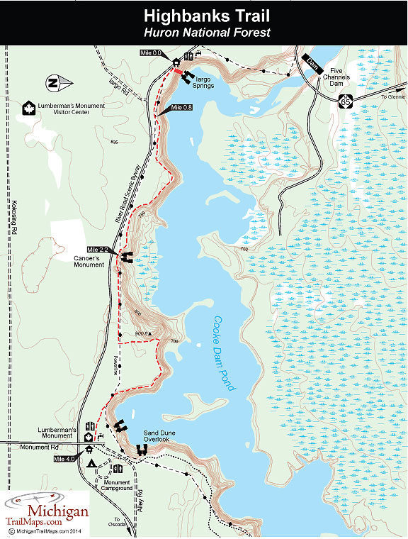


Strung along the towering bluffs above the Au Sable River is the Highbanks Trail, a skiing and hiking route that was developed through the Corsair Ski Council and the Huron National Forest. This is a point-to-point trail, and without two vehicles, it’s almost impossible to avoid backtracking. At times the route also winds close to River Road, and the sound of cars speeding by occasionally breaks up the peaceful tranquility of the wooded path.
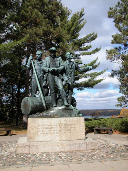
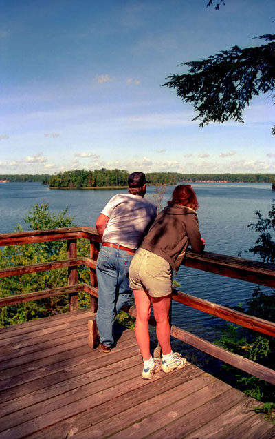
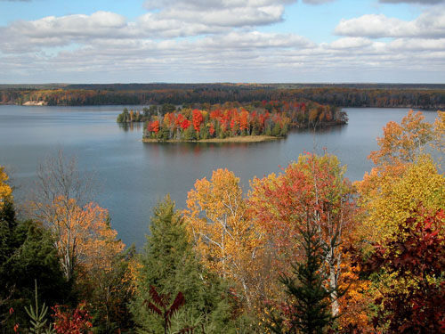
But the drawbacks are hardly worth considering when compared with what the Highbanks Trail has to offer: outstanding scenery and views, the possibility of spotting a bald eagle during the spring and summer and an opportunity to learn about the life of a logger in the 1800s at the Lumberman’s Monument. With its mostly level contour along the tops of the bluffs, this trail makes an excellent outing for children. The monuments to the past and the panoramas of the river will keep their minds off tired feet.
The entire trail is a 7-mile hike from Iargo Springs to Sawmill Point, where the U.S. Forest Service maintains 17 primitive campsites and a boat launch. Built in 2001, the Sawmill trailhead allows hikers to turn the trek into an overnight adventure with an evening spent on the banks of the Au Sable River.
The most popular stretch to hike is the most scenic portion of the trail, the 4-mile walk from Iargo Springs to Lumberman’s Monument. This segment can also be turned into an overnight trek by camping at Monument Campground before backtracking to Iargo Springs the next day.
| Camping |
| Difficulty - Easy |
| Dog Friendly |
| Foot Path |
Geo-referenced maps from MichiganTrailMaps.com range from $1.99 to $2.99 each.
Download the Avenza app from the App Store or Google Play


