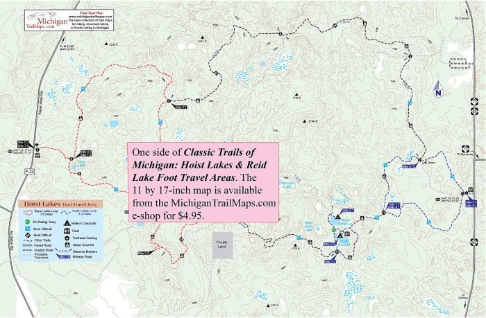
Hoist Lakes Foot Travel Area: Byron Lake Loop

Trail Details

True to its name, Hoist Lakes Foot Travel Area is indeed a place for foot travel whether your feet are strapped to snowshoes or cross-country skis in the winter or are in hiking boots the rest of the year. Banned from this 10,600-acre track of the Huron National Forest are mountain bikes, horses, motorized vehicles and boats with outboard motors.
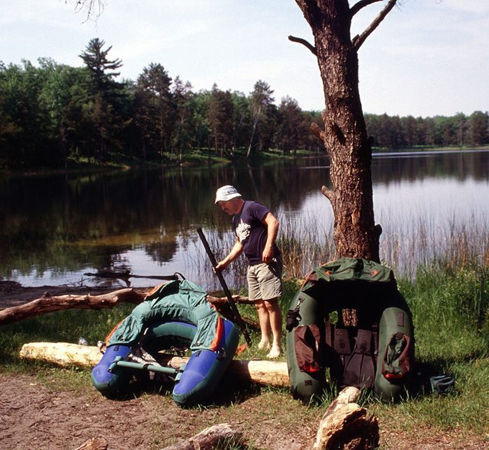
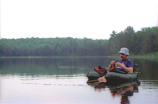
Set up in 1976 to provide a quiet oasis from our motorized society, Hoist Lakes is large enough to contain more than 20 miles of trails and a handful of walk-in campsites, making it the destination for two ideal backpacking outings for the weekend. Hoist Lakes East Loop begins from the eastern trailhead and described below is the Byron Lake Loop, a 6.5-mile loop from the western trailhead. Both are overnight treks where a spare day can be spent exploring more of the trail system or enjoying a little wilderness fishing along the lakes where you’ll be camping.
The tract can be surprisingly rugged in places with many hills topping 1,200 feet in elevation. Hoist Lakes is covered by forests of pine, aspen, and other hardwoods that are broken up by seven named lakes and numerous ponds, marshes and beaver-flooded streams.
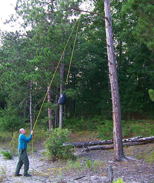
Opportunities to observe wildlife are very good. Perhaps the most famous residents of the area are the least encountered ones: black bears. There is also red fox, mink, and coyotes, but more often than not the wildlife that hikers spot are wild turkeys, ruffed grouse, whitetail deer, beavers, porcupines, and a variety of waterfowl and birds.
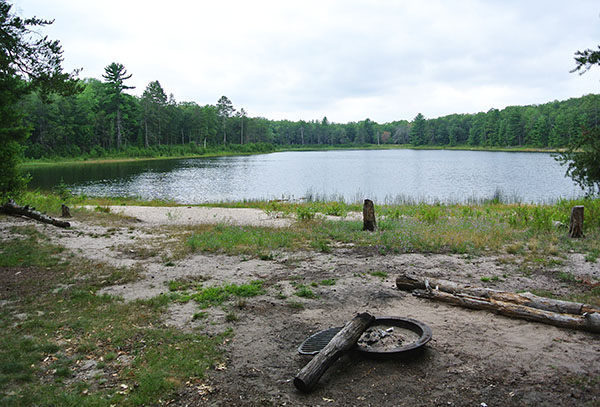
Backcountry camping and campfires are allowed anywhere in the tract as long as you’re at least 200 feet from an open body of water, swamp, or foot trail. But why bother? Some of the most beautiful walk-in campsites in the Lower Peninsula are located at Hoist Lakes and are usually so lightly used you won’t have to worry about snagging a spot to pitch your tent.
| Camping |
| Difficulty - Challenging |
| Difficulty - Moderate |
| Dog Friendly |
| Foot Path |
Geo-referenced maps from MichiganTrailMaps.com range from $1.99 to $2.99 each.
Download the Avenza app from the App Store or Google Play


