Holly Recreation Area: Wilderness Trail
Buy the $.99 downloadable map!
(This map is not geo-referenced)Trail Details

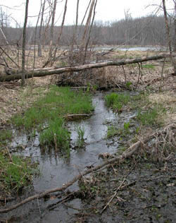

Calling any trail in Oakland County “Wilderness” is a little presumptuous. Or a lot. Still this 5.75-mile loop in Holly Recreation Area is a dandy, an oasis in the urban sprawl that someday will turn Dixie Highway between Grand Blanc and Pontiac into nothing but an endless strip mall. This trek is not wilderness by any stretch of the imagination but it does get you into the woods and away from traffic, pavement and the developed areas of this state park.
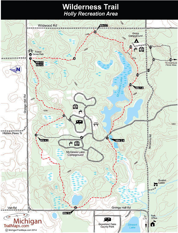
The trail lies north of McGinnis Road and loops around McGinnis Lake Campground and its namesake lake. You see the lake but never the campground or those staying there. Wilderness Trail stays in the woods, climbing a number of surprisingly large hills and descending pass wetlands, ponds and small lakes. Occasionally you can hear the traffic or even see a house but this as natural an escape as you’re going to find in Oakland County.
Wilderness Trail can be picked up from several places within the recreation area including near the McGinnis Lake Campground where post No. 1 is located and from the Overlook Picnic Area in the Heron Lake day-use area. In the Overlook Picnic Area the trail is posted in the second parking lot and makes for a 5.75-mile loop.
You can also begin from several roads that encircle it or from Forest Grove Park, a Groveland Township park on Grange Hall Road and the starting point for this description.
Few if any mountain bikers will be seen on this loop, they have their own trail system – the Holdridge Lakes Mountain Bike Area – on the west side of I-75. Hikers will find the trek delightful in April as well as September and October. In November the views improve with the disappearance of foliage and in June and July it can get buggy. Just keep moving.
| Camping |
| Difficulty - Moderate |
| Dog Friendly |
| Foot Path |
Geo-referenced maps from MichiganTrailMaps.com range from $1.99 to $2.99 each.
Download the Avenza app from the App Store or Google Play


