Independence Oaks County Park
Trail Details

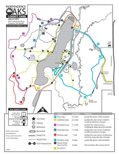
The park has a 14-mile network of trails with most of it in a rugged, undeveloped area on the west side of the lake. Here Springlake Loop, Ted Gray Loop and a portion of Lakeshore Loop can be combined to make a 3-mile loop that begins near the Lewis E. Wint Nature Center and leads you across the park’s highest ridges and along Crooked Lake. Cutting across the loop are several connector trails that allow you to shorten the hike.
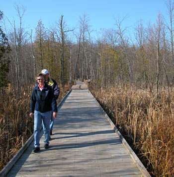
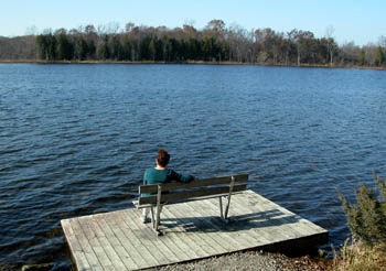
On the east side of the lake are the paved trails that are popular with inline skaters. They include the River Loop, a paved 2.2-mile loop that includes a stretch through the Clinton River Flood Plain Natural Area, a wetland area, and the All-Visitors Loop that leads to an observation deck on Crooked Lake.
| Difficulty - Easy |
| Difficulty - Challenging |
| Difficulty - Moderate |
| Dog Friendly |
| Foot Path |
| Groomed Classic Skiing |
| Groomed Skate Skiing |
| Multi-use Trail |
| Paved Trail |
Geo-referenced maps from MichiganTrailMaps.com range from $1.99 to $2.99 each.
Download the Avenza app from the App Store or Google Play


