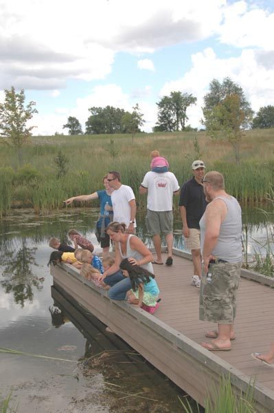
Indian Springs Metropark: Discovery Trails

Trail Details
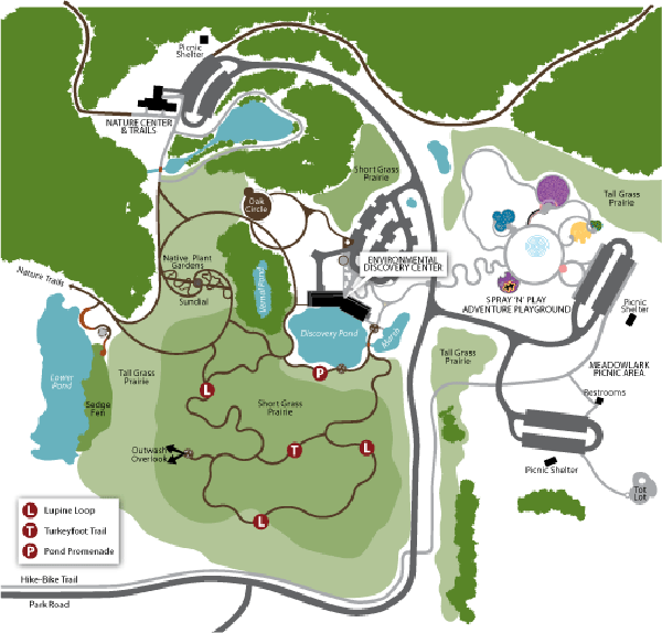
| Difficulty - Easy |
| Foot Path |
Geo-referenced maps from MichiganTrailMaps.com range from $1.99 to $2.99 each.
Download the Avenza app from the App Store or Google Play


