Island Lake RA: Hickory Ridge Trail
Buy the $.99 downloadable map!
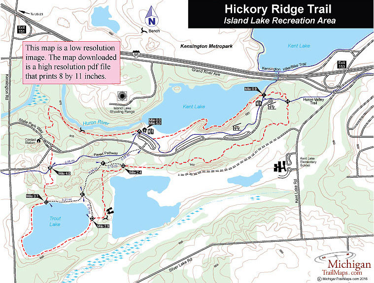
(This map is not geo-referenced)Trail Details


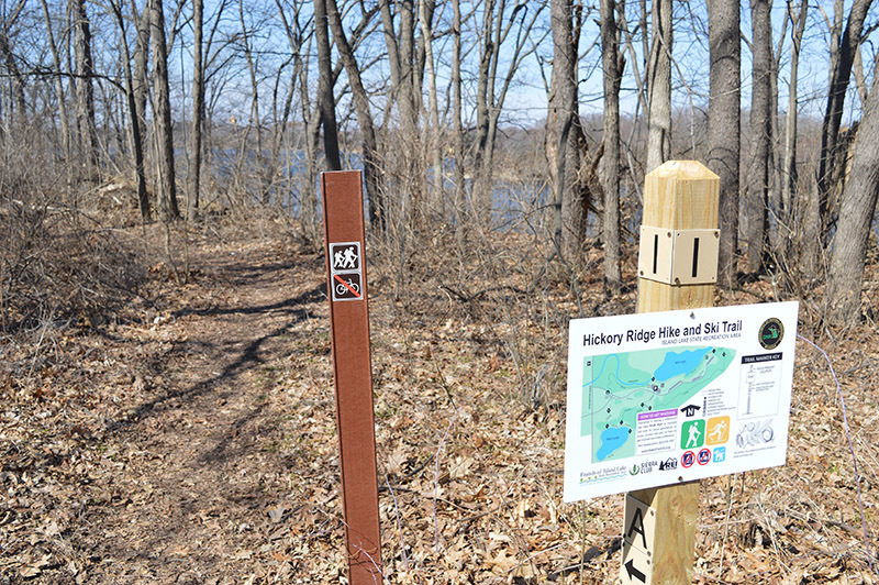
Walkers, hikers and trail runners finally got a portion of the park back when in 2017 the Hickory Ridge Trail was opened on the east side of Kensington Road. The 6-mile trail system includes three lakes, a portion of the Huron River and some interesting woodlots but most of all it’s for hikers only. Mountain bikes are banned from the trails.
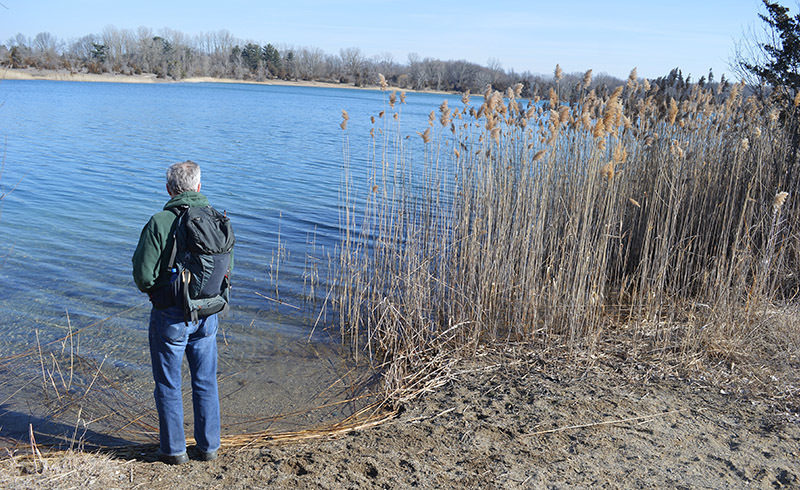
Hickory Ridge was a joint project between the Sierra Club, Friends of Island Lake and REI. The trailhead is located in the Kent Lake Dayuse Area and a portion of the trail winds through the picnic grounds. But most of the trail is located in forest, meadows or wrapped along Trout Lake and the Huron River. There is some elevation change, particularly along the Huron River, but overall the trail is an easy outing. The only complaint some hikers have is the sound of target practice you hear from the park’s gun range on the north side of the Huron River.
The hike described here is the perimeter of the system, a 5-mile loop. But spurs and crossovers allow for shorter hikes. By following the trail from posts A-F-G and then around the Trout Lake before returning along the Huron River, you form a 3-mile loop that includes the best scenery Hickory Ridge has to offer.
| Difficulty - Easy |
| Dog Friendly |
| Foot Path |
Geo-referenced maps from MichiganTrailMaps.com range from $1.99 to $2.99 each.
Download the Avenza app from the App Store or Google Play


