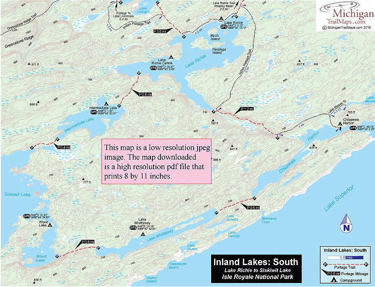
Isle Royale NP: Inland Lakes South
Buy the $.99 downloadable map!
(This map is not geo-referenced)Buy the Geo-referenced map
for use in the Avenza Maps App
Trail Details
Geo-referenced maps from MichiganTrailMaps.com are available through Avenza Maps and range from $1.99 to $2.99 each.
Download the Avenza app from the App Store or Google Play


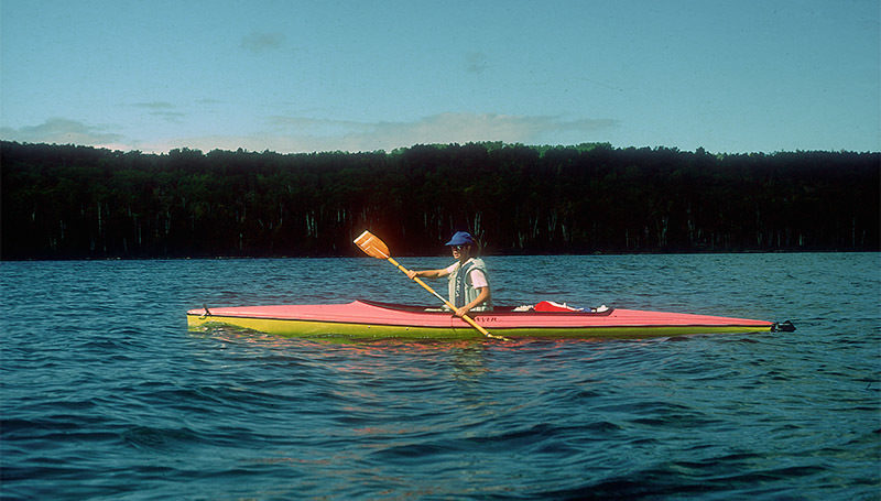
only to canoeists and kayakers. They require more time and energy
to reach than the inland lakes north of them. They are scenic but do not possess
the overwhelming beauty of the coves and inlets of the Five Fingers area.
They do offer one opportunity not found when hiking the
Greenstone Ridge Trail or paddling though Rock Harbor: If you have
the time and the shoulders willing to carry your boat, you can lose
yourself for days at a time in this section of the park. Except for the
south shore, nowhere else on the Island is such isolation possible.
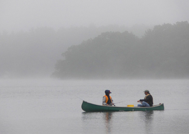
Beginning with Lake Whittlesey and continuing with Wood
Lake, most of Siskiwit Lake, and Intermediate Lake, this is a paddler’s
domain. The small number of visitors who bring a canoe or kayak to
the park ensure that this section, even during the busiest week of the
summer, will always retain a bit of solitude.
The conventional way to reach this area is to paddle Rock Harbor
and portage into Lake Richie. From here you paddle to the lower arm of the lake and endure a second long portage to Chippewa Harbor. After paddling and
portaging through Lake Whittlesey, Wood Lake, and Siskiwit Lake,
the loop is completed by doubling back through Intermediate Lake,
Lake Richie, and Rock Harbor. The trip takes 7-9 days to complete;
anything less turns it into a canoe race.
The alternative is to hop on Voyageur II and get off at Chippewa
Harbor or Malone Bay Campground. This reduces the trip back to
Rock Harbor Lodge by 2-4 days. When beginning at Malone Bay,
most paddlers choose the more scenic Wood Lake and Lake Whittlesey
over the Intermediate Lake route back to Richie.
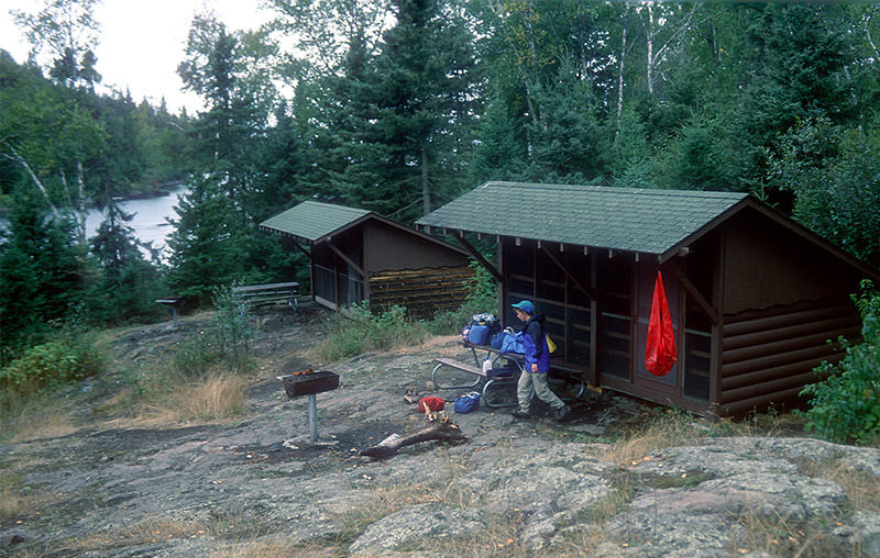
| Camping |
| Difficulty - Moderate |

Geo-referenced maps from MichiganTrailMaps.com range from $1.99 to $2.99 each.
Download the Avenza app from the App Store or Google Play
