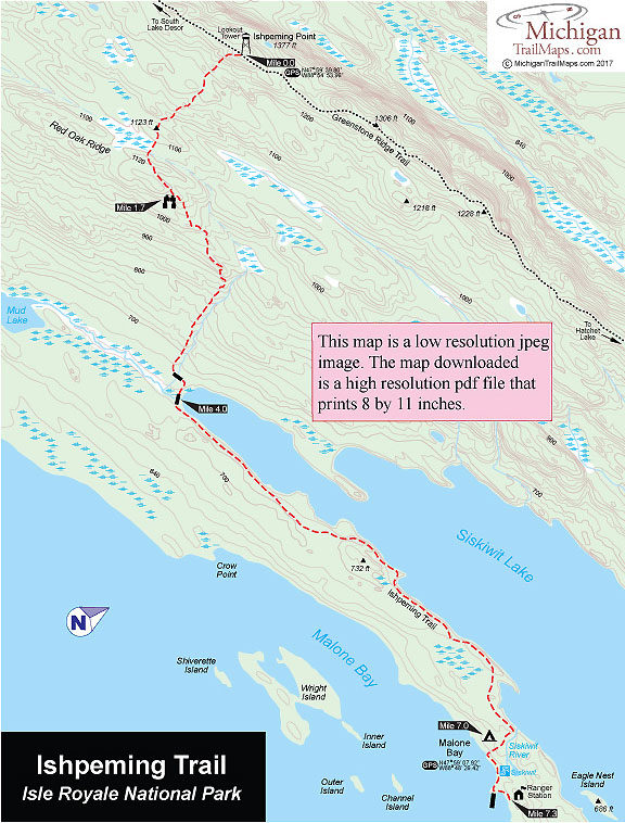
Isle Royale NP: Ishpeming Trail
Buy the $.99 downloadable map!
(This map is not geo-referenced)Trail Details
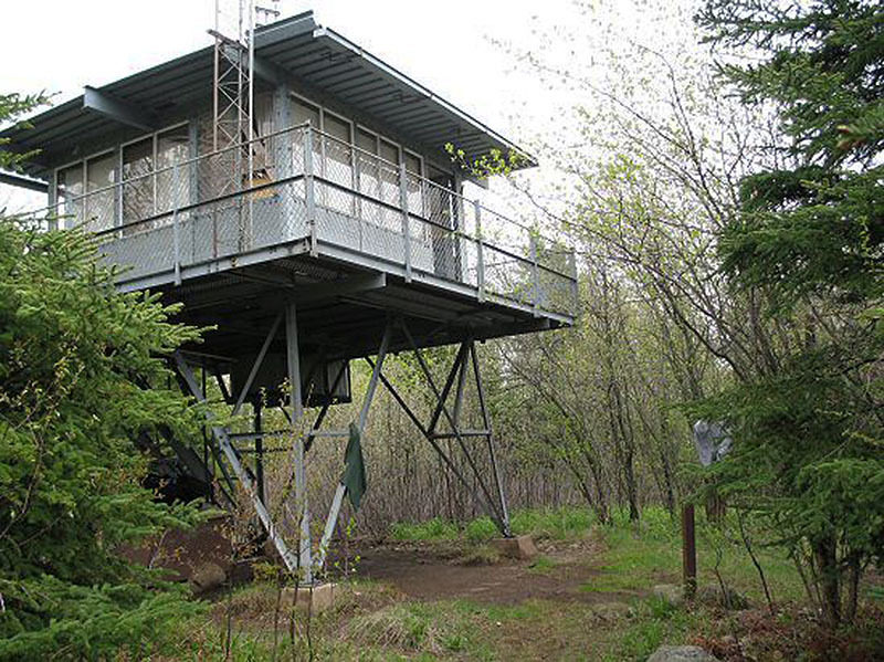

Ishpeming Point, which to the Ojibway Indians meant "heaven," is the second highest point on the Island (1377 feet). The views are uninspiring, however, because only the west end of Siskiwit Bay is visible through the trees. From this point, Lake Desor and Hatchet Lake campgrounds, both approximately 4.0 miles away, lie to the west and east, respectively.
On a narrow bridge of land between the Malone Bay and the Siskiwit Lake is Malone Bay Campground, one of the most beautiful in the park. On the bayside there are smooth pebble beaches to comb and views of the long reefs that separate the bay from Lake Superior as well as Isle RoyaIe Lighthouse (1875) on Menagerie Island. The campground features five shelters, group and individual campsites, pit toilets, tables, and a dock. A ranger is stationed there for the summer, and the latest weather report is posted on his cabin. Siskiwit Lake is known for its wide variety of sport fish, including brook and lake trout.
| Camping |
| Difficulty - Moderate |
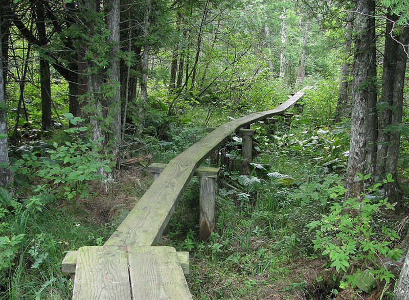
| Foot Path |
Geo-referenced maps from MichiganTrailMaps.com range from $1.99 to $2.99 each.
Download the Avenza app from the App Store or Google Play


