Isle Royale NP: Mount Franklin Trail
Buy the $.99 downloadable map!
(This map is not geo-referenced)Trail Details

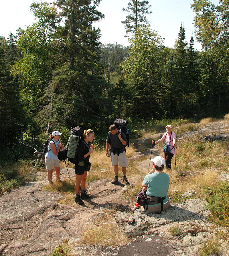
But the trail also serves as a leg of a popular day hike for visitors staying at Rock Harbor. They combine the Tobin Harbor Trail with a portion of Mount Franklin and Rock Harbor trails for a 6.5-mile trek that rarely leaves the shoreline.
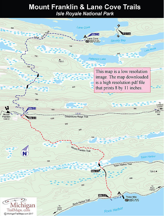
Mount Franklin Trail begins 0.2 mile west of Three Mile Campground at a well marked junction along the Rock Harbor Trail and makes a steady climb to the crest of the Greenstone Ridge. At it’s junction with the Greenstone Ridge Trail, Lane Cove Trail winds 2.4 miles to the secluded Lane Cove Campground. West on the Greenstone is Mount Ojibway (2.8 miles); the junction of the trail to Lookout Louise is 4.8 miles east.
Mount Franklin is not really a mountain but, rather, a rock bluff along the Greenstone Ridge, but at 1080 feet, it's high enough to provide a superb view of Canada and the north side of the Island.
| Camping |
| Difficulty - Moderate |
| Foot Path |
Geo-referenced maps from MichiganTrailMaps.com range from $1.99 to $2.99 each.
Download the Avenza app from the App Store or Google Play


