
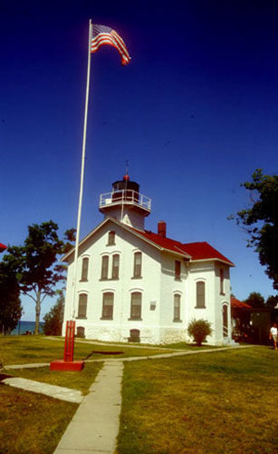
Leelanau State Park
Buy the $.99 downloadable map!
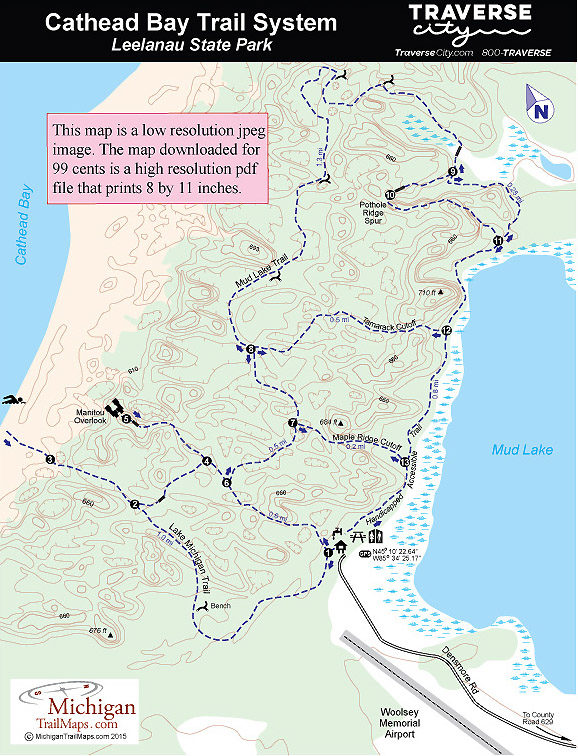
(This map is not geo-referenced)Trail Details

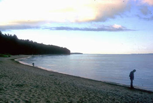
Located to the south along Cathead Bay is the bulk of the park. This undeveloped area, a rolling terrain of low dunes forested in hardwoods of maple, beech, white ash and birch, contains most of the park's 1.5 miles of shoreline and all of its trails. It also features the park's best beaches, a wide, sandy shoreline that can only be reached after a mile hike from a parking lot.
Leelanau has an excellent trail network that forms almost 6 miles of loops through the Cathead Bay region of the park. The trailhead and parking lot is at the end of Densmore Road, located 5 miles south of the campground via County Road 629. The longest loop is Mud Lake Trail, a 3-mile hike through the hilly interior and along the shoreline of the inland lake. Two spurs that shorten the Mud Lake Trail are passed along the way; Maple Ridge Cutoff and Tamarack Cutoff.
The most popular hike is the Lake Michigan Trail with the Manitou Overlook cutoff with the spurs to the beach and the observation deck. Manitou Overlook is at the end of a long stairway to the top of a dune, where there is an observation deck. The view from here is spectacular, and on a clear day you are able to see the Fox Islands out in Lake Michigan. It's also a superb place to catch the sunset as the orange orb melts over North Manitou Island. This loop is an easy hike of 2.2 miles.
Combine all of these trails and you have the Lake Michigan/Mud Lake Loop, a 4.7-mile trek that makes for a pleasant three-hour walk or even a full day outing if combined with an extended break on the beach.
The park is not only popular during the traditional summer season but also in autumn for fall colors, while the undeveloped Cathead Bay receives its greatest use during the winter from Nordic skiers. Trails are skier-set and skiers have a choice of a number of loops. Much of the north end of the Mud Lake Trail, however, is not well suited for novice skiers. Densmore Road and the trailhead parking lot are plowed.
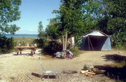
| Camping |
| Difficulty - Easy |
| Difficulty - Moderate |
| Foot Path |
Geo-referenced maps from MichiganTrailMaps.com range from $1.99 to $2.99 each.
Download the Avenza app from the App Store or Google Play


