
Lost Lake Pathway
Buy the $.99 downloadable map!
(This map is not geo-referenced)Trail Details

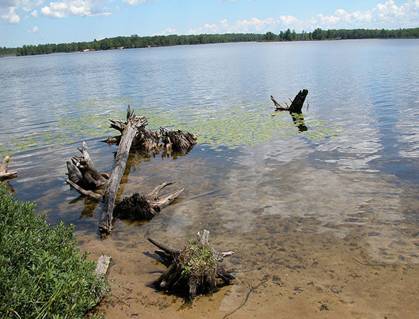
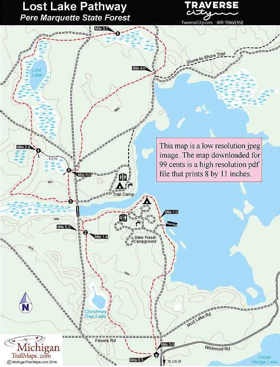
The trail system totals almost 6.5 miles with the perimeter being a 6.3-mile outing that passes three lakes and several open bogs. Most of the loop, however, is a relatively level ride through the woods.
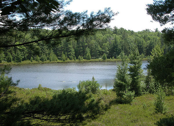
By starting at the Lake Dubonnet dam near post No. 3, you can reduce the trail to a 3.75-mile loop. The terrain is easy but interesting. The topography, transitional small sink hole lakes created by glacial debris and melting ice deposits, is typical of how the glaciers formed this region. Lake Dubonnet itself, however, was created in 1956 when a stream was dammed to improve fishing and waterfowl habitat.
Lake Dubonnet State Forest Campground, a rustic facility of 50 sites, provides drinking water and vault toilets along the first loop. Opposite of it is a trail camp for equestrians as the Michigan Shore-to-Shore Trail passes through the area. The two trails intersect but their users are carefully separated to avoid any conflicts. Horseback riders stay on dirt roads and two-tracks and off the pathway.
Originally constructed as a nature trail, complete with an interpretive brochure, Lost Lake is regarded as a single track by mountain bikers but its path is wide. Riders do need to keep an eye out for an occasional patch of sand but overall the trail surface is hard packed. Hikers have none of this to worry about but should pack along bug repellent in May and June.
| Camping |
| Difficulty - Moderate |
| Dog Friendly |
| Multi-use Trail |
Geo-referenced maps from MichiganTrailMaps.com range from $1.99 to $2.99 each.
Download the Avenza app from the App Store or Google Play


