Loud Creek Ski Trail
Buy the $.99 downloadable map!
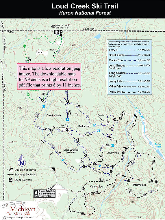
(This map is not geo-referenced)Trail Details

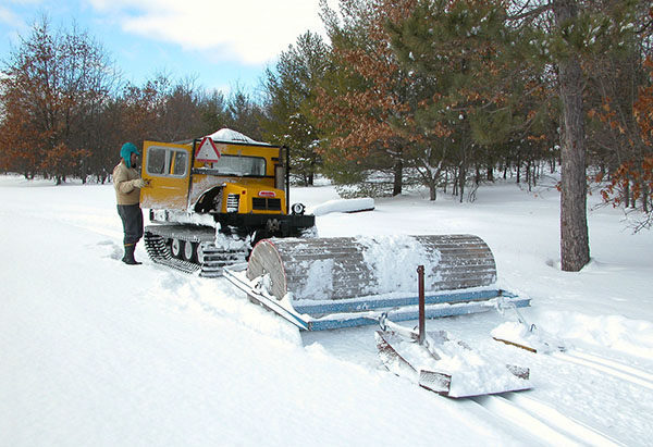
A hidden gem in the woods. Loud Creek Cross-Country Ski Trail dates back to 1984 when a group of locals approached the Huron National Forest rangers in Mio about building a trail system for their skinny skis. They formed the Loud Creek Nordic Ski Club, found the ideal tract of flats and hills 2 miles southeast of Mio, laid out a variety loops and then raised the $7,500 needed to purchase a used Bombardier groomer.
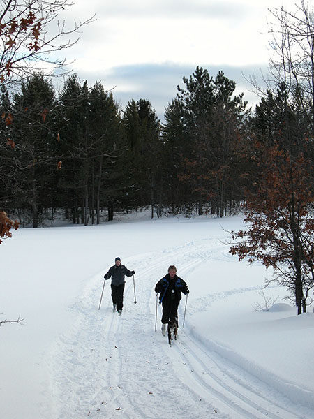
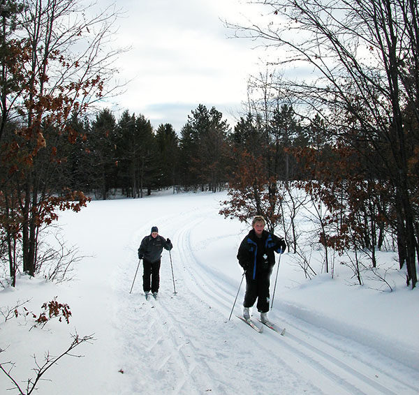
The Nordic club never had more than 30 members and most of the time it was a faithful dozen or fewer who cleared the brush in the fall, built trail signs and impeccably groomed the 7.5-mile network of trails in the winter, all to the delight of those of us who stumbled across it.
Tucked away from busy interstates and state highways – the trailhead is on a dirt road – and rarely promoted by the ski club or the U.S. Forest Service, Loud Creek is often called “the best kept secret in Northern Michigan.” Ten skiers would be a busy afternoon on the trails.
Today the trail system is maintained and groomed by the Mio Ranger District which attempts to lay fresh tracks, but not skating lanes, before the weekend or after especially heavy snowfall.
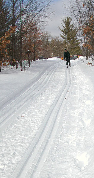
Loud Creek is spread across 960 acres and laid out in seven interconnecting loops that traverses a mix of northern hardwoods and some large pines. What makes the area so ideal for skiing is that it's relatively flat near Cauchy Road and the further south you ski the steeper the hills. From the trailhead on the north end to the steepest hills on south end, there’s 230 feet difference in elevation. Some short stretches of the trail go from 5 percent grade to more than 25 percent.
None of the loops at Loud Creek are long. At 1.5 miles Valley View is the longest. But the trail system is designed so it's easy to re-ski a loop that you enjoy two or even three times before moving on to the next one. The trails are well with maps at the junctions and diamond shaped confidence markers.
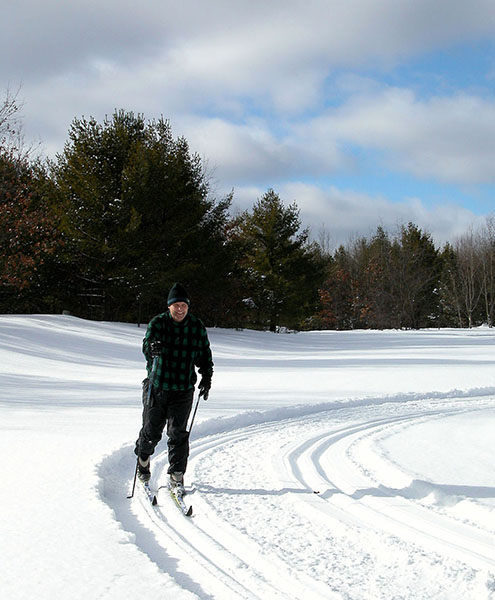
Loud Creek was designed for winter use by Nordic skiers and snowshoers along with a sled hill that is a short walk from the parking lot. The rest of the year the area is open to hikers and trail runners but not mountain bikers.
| Difficulty - Challenging |
| Difficulty - Easy |
| Difficulty - Moderate |
| Dog Friendly |
| Foot Path |
| Groomed Classic Skiing |
Geo-referenced maps from MichiganTrailMaps.com range from $1.99 to $2.99 each.
Download the Avenza app from the App Store or Google Play


