Ludington State Park: Sable River Trail
Buy the $.99 downloadable map!
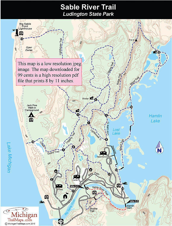
(This map is not geo-referenced)Trail Details

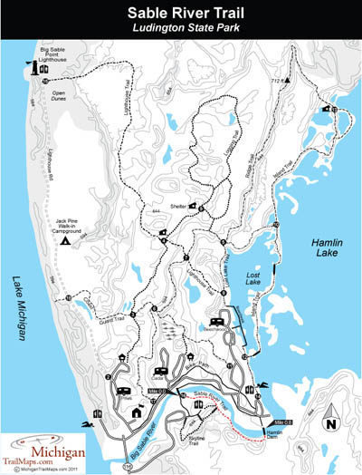
The Sable River Trail is now a 0.7-mile path that begins at post No. 16 at the foot bridge across the river and skirts the south bank to the Hamlin Dam. Along the way it passes the east end stairway to the Skyline Trail. At the Hamlin Dam you can cross over to the north bank and read a historical marker about logging activities in the late 1880s.
Hamlin Lake was originally dammed by loggers in the 1880s to create a large holding area for trees felled up the Big Sable River. The trees were milled in the village of Hamlin, which was located within the state park, then taken to Lake Michigan by mules. In 1888, the dam burst and the resultant flood swept away the mill, 40 homes in Hamlin, and more than a million board feet of lumber.
Today the state maintains the dam, which regulates the water level of the 4,490-acre lake. The lake is known by anglers for its excellent bluegill, northern pike, and muskellunge fishing since many of the inlets and bayous, including Lost Lake, serve as pike and muskie spawning grounds.
| Camping |
| Difficulty - Easy |
| Foot Path |
| Multi-use Trail |
| Paved Trail |
Geo-referenced maps from MichiganTrailMaps.com range from $1.99 to $2.99 each.
Download the Avenza app from the App Store or Google Play


