Maple River State Game Area
Buy the $.99 downloadable map!
(This map is not geo-referenced)Trail Details
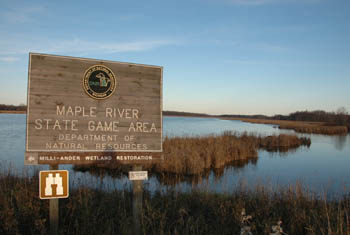
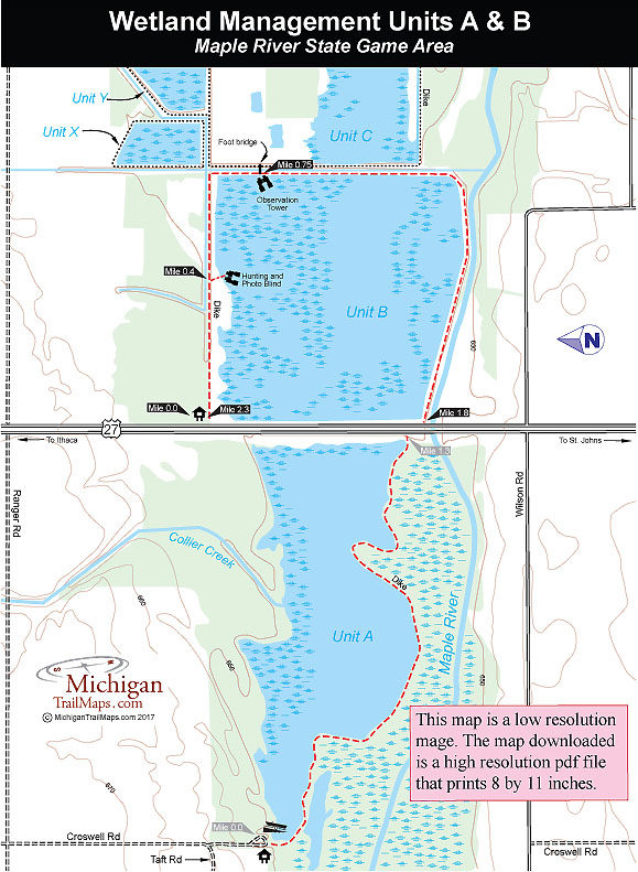
Hiking opportunities are available in the East Unit, however. Straddling US-27, the East Unit features pools and diked-in ponds that serve as the water basin for the Maple River and attract migrating birds. Hiking along dikes is easy and the spectacular congregations of birds among the cattails in the warm glows of a late afternoon sun makes this trail system scenic and interesting for families and anybody who enjoys birding.
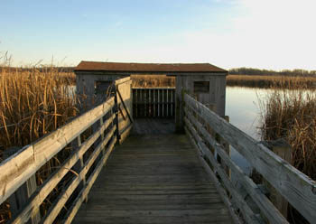
There are more than 5 miles of trails in the state game area but the dikes in Unit A and Unit B are the most popular for hiking and birding. Unit A is a round-trip trek of 2.6 miles that begins at a boat launch located at Croswell and Taft Roads west of US-27. Unit B is a 2.3-mile loop on the east side of US-27 that includes passing a photo blind and an observation tower.
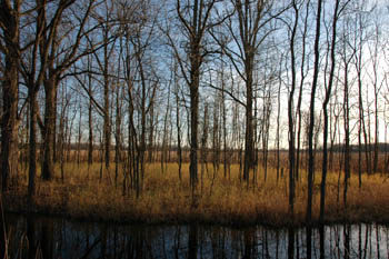
Wildlife can be viewed practically year-round in the game area. Spring viewing from March through May is excellent as thousands of ducks, geese, and swans use the wetlands as a stopover on their migration to northern breeding grounds. Throughout the summer herons are a common sight in the area while the observant or those who pack along binoculars might spot bald eagles or ospreys perched on dead snags.
| Difficulty - Easy |
| Multi-use Trail |
Geo-referenced maps from MichiganTrailMaps.com range from $1.99 to $2.99 each.
Download the Avenza app from the App Store or Google Play


