Mt. McSauba Recreation Area
Buy the $.99 downloadable map!
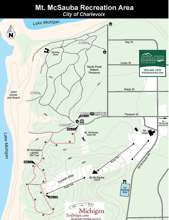
(This map is not geo-referenced)Trail Details

The city donated a steep dune on the north side of town, the fathers each tossed $100 into a kitty to purchase equipment and locals pitched dirt that summer to increase the height of their new ski hill. When the first snow arrived somebody backed up a Ford Model T, deflated a rear tire, rigged a tow rope off it and pulled the first skiers up the slopes.
They've been skiing at Mt. McSauba ever since, making it one of the oldest downhill areas in the state.
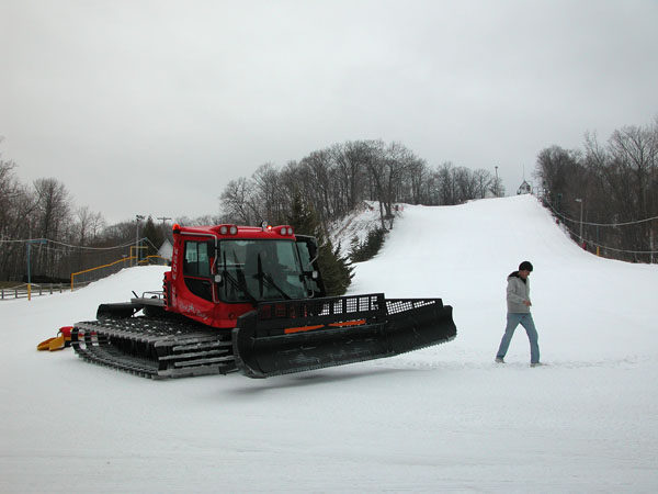
Locals like to call their community hill “Little Nub’s Nob.” The Harbor Springs ski resort, one of the most popular in the Lower Peninsula, has taken Mt. McSauba under its wing by providing a groomer and snowmaking equipment at no cost to the city of Charlevoix.
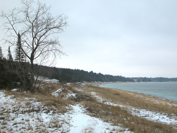
Serviced by four tow ropes, most of Mt. McSauba’s six runs are on the front facing the day lodge but on the backside is Tornado Alley, so named because it catches the wind blowing off Lake Michigan. At the top of the Alley you enjoy a panorama of the lake and the frozen shoreline and then can tackle the Mt. McSauba’s longest run, a 1,100-foot-long intermediate slope with a vertical drop of 150 feet.
More than just a ski slope, Mt. McSauba is a true winter recreation area. There is a skating rink with a warming cabin on the south side, a lighted sledding hill on the north side and behind the towering dune a cross-country ski trail.
| Difficulty - Easy |
| Groomed Classic Skiing |
Geo-referenced maps from MichiganTrailMaps.com range from $1.99 to $2.99 each.
Download the Avenza app from the App Store or Google Play


