
Mt. Minnie Nature Preserve
Buy the $.99 downloadable map!
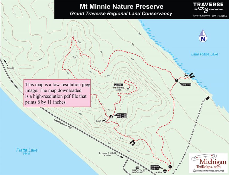
(This map is not geo-referenced)Trail Details
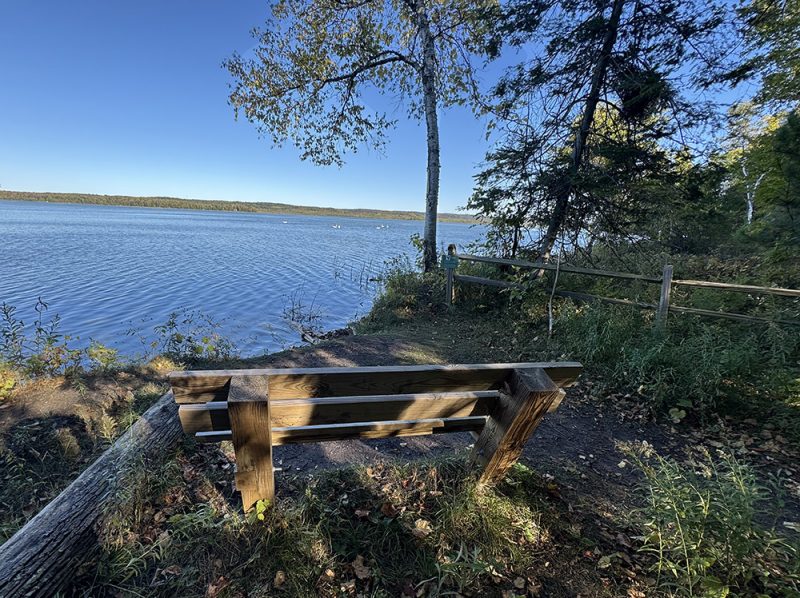
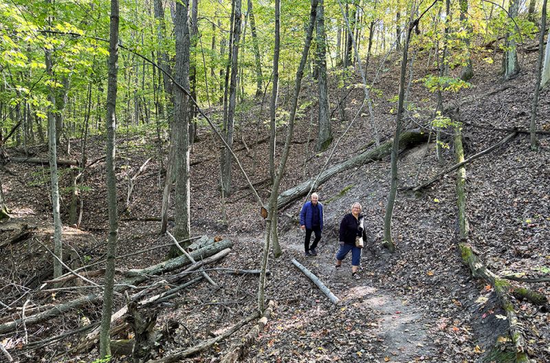
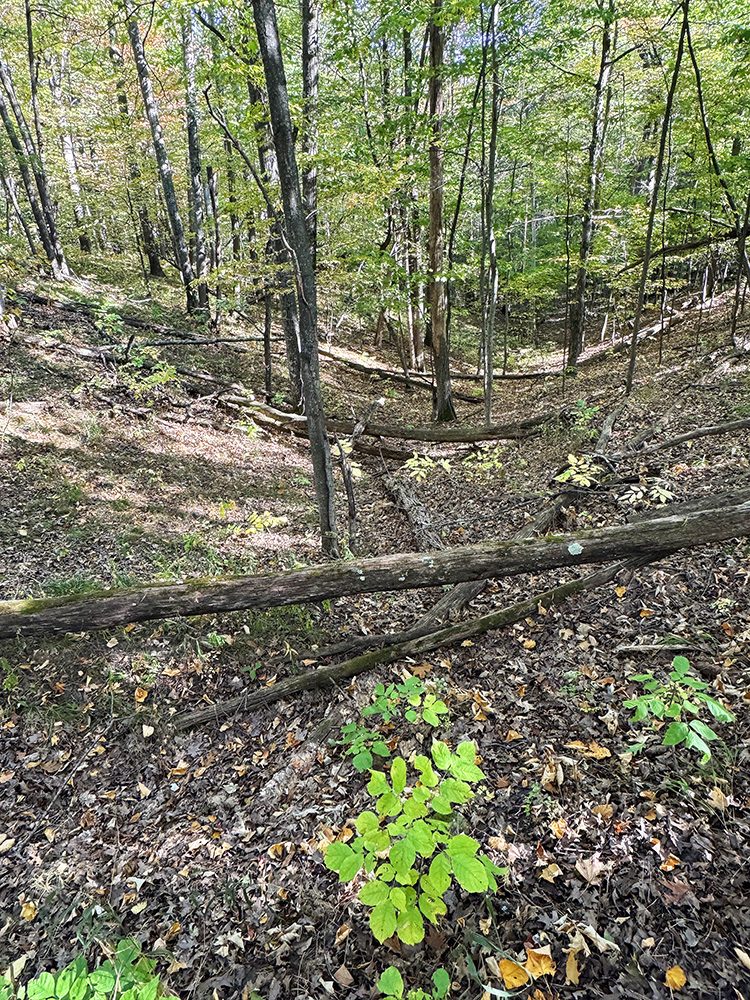
The ridge and gullies of the 65-acre preserve create an interesting terrain that contributes to the water quality of the Platte River Watershed and the large lakes that surround it. The preserve also features 1,567 feet of frontage on Little Platte Lake, including six acres of hardwood conifer swamp, a sensitive forested riparian wetland dominated by Eastern hemlock.
Among the species the wetland harbors are red-shouldered hawks, Trumpeter swans, and a pair of nesting loons, all listed as threatened by the state of Michigan. Other wildlife encountered in the preserve are bald eagles, whitetail deer, and porcupines.
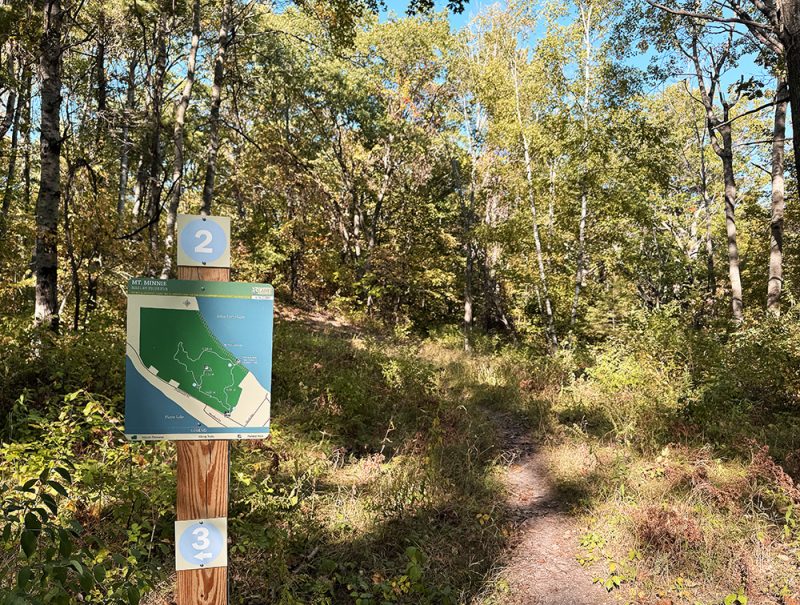
The trail system creates a 1.4-mile loop that climbs up and around the Mt. Minnie ridge with a spur that reaches the high point of 738 feet.
| Difficulty - Easy |
| Dog Friendly |
| Foot Path |
Geo-referenced maps from MichiganTrailMaps.com range from $1.99 to $2.99 each.
Download the Avenza app from the App Store or Google Play


