Nicole Bloom Memorial (Mt. Baldy) Trail

Buy the $.99 downloadable map!
(This map is not geo-referenced)Trail Details
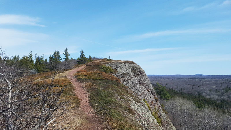
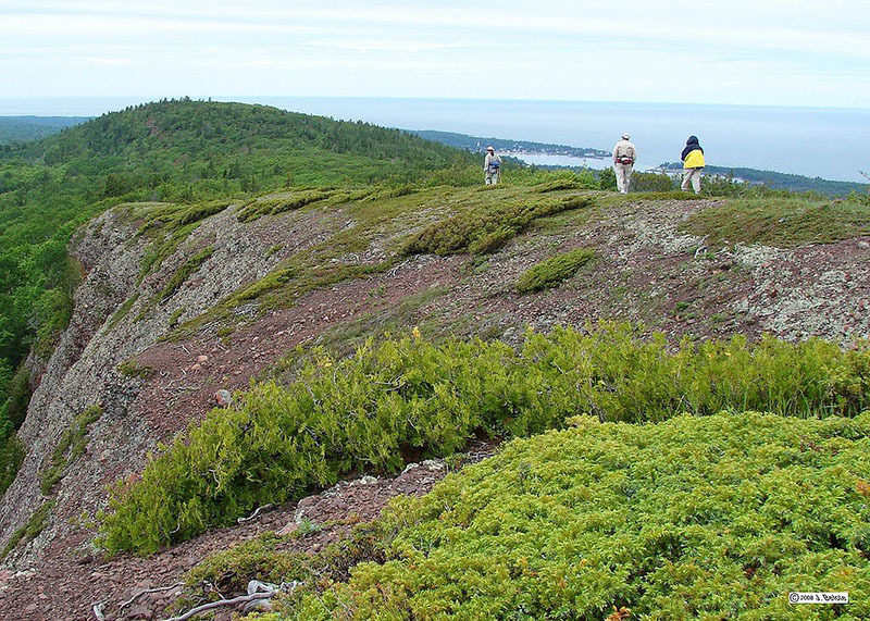
Originally known as Lookout Mountain, Mt. Baldy earned its new name because of the way high winds have shaped the vegetation and rocky terrain at its highest elevations. While bedrock balds are common in the Appalachians and adjacent Canada, such ridge-top communities are extremely rare in Michigan and only occur around the Upper Peninsula from Isle Royale to Gogebic County. Mt. Baldy, with its natural alpine-like vegetation, is the largest and least disturbed bald remaining.
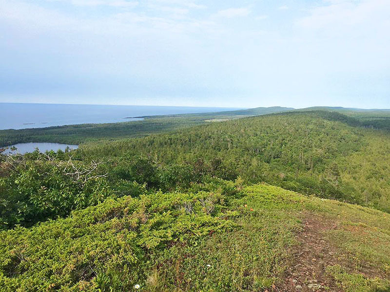
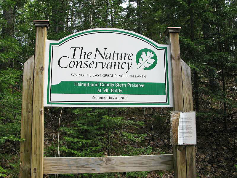
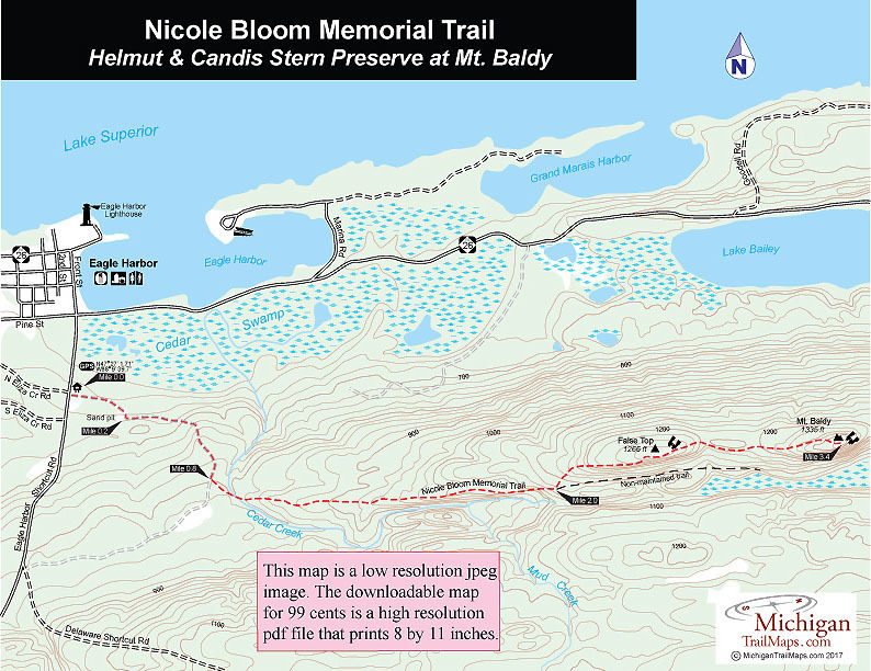
Towering 730 feet above Lake Superior south of Eagle Harbor, Mt. Baldy is protected as part of the Helmut and Candis Stern Preserve. The 1,500-acre-plus preserve includes a craggy, mile-long ridge top that contains several nearly treeless openings scattered with alpine plant species and wind-contorted white cedar and oaks. During spring and fall migrations an amazing array of birds pass over Mt. Baldy.
But what stuns most first-time visitors isn’t the birds or the plants but the views. This 1,335-foot mountain offers spectacular panoramic views of Lake Superior and almost the entire western tip of the Keweenaw Peninsula.
The hike to the peak is a steady 3.4-mile climb along two-tracks for the most part. The old logging roads are well marked by the Nature Conservancy and easy to follow. Most hikers need two hours to reach the peak.
Before departing Eagle Harbor, make sure you have the three essentials for hike to Mt. Baldy; water, lunch in case you decide to take an extended break at the top, sun block if you end up spending the whole afternoon up there.
| Difficulty - Moderate |
| Dog Friendly |
| Two-Track |
Geo-referenced maps from MichiganTrailMaps.com range from $1.99 to $2.99 each.
Download the Avenza app from the App Store or Google Play


