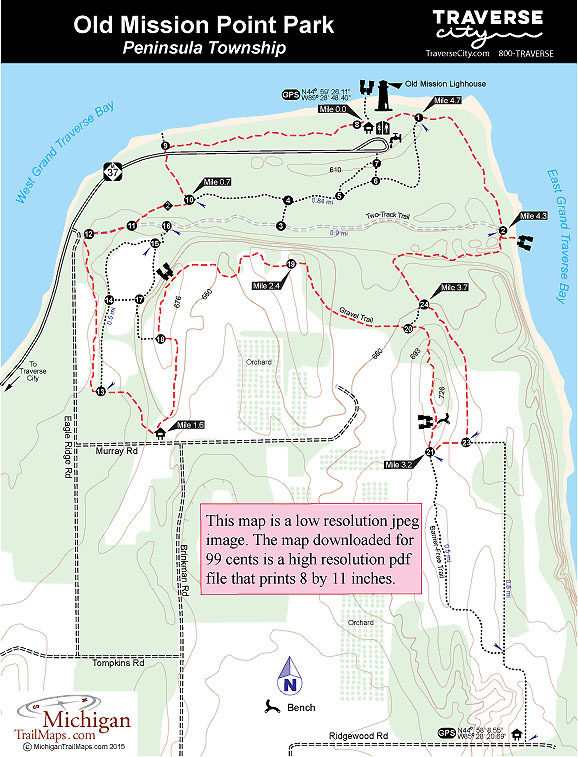
The trail junctions in both parks are identified by a number. This hike begins at post No. 8 just past the Hessler Log Cabin, a classic log cabin built in 1854 and eventually restored as a small museum.
Head west through the narrow wooded strip of Lighthouse Park bordered by the West Arm to the north and M-37 to the south. You pass two spurs that extend in both directions to the bay and the highway before the trail swings south and passes post No. 9 at M-37. South of the state highway, at Mile 0.7, you arrive at post No. 10. Head west (right); shortly the trail merges into a well-defined two-track and just before Mile 1 arrives at post No. 12 and an unofficial parking area just off Eagle Ridge Road. This corner can be confusing, but simply follow the trail that departs south from the parking area.
You begin in the woods but eventually break out in an open field where the trail swings east and passes post No. 13 before returning to its southerly direction and reaching the Murray Road Trailhead at Mile 1.6. A display board and parking are located here while a path, a two-track designated as a barrier-free trail, heads northeast. This trail climbs a low ridge, passes post No. 18 in a third of a mile, and then comes to views of the West Arm of Grand Traverse Bay.
The trail swings east off the ridge and becomes more of the gravel surface it was designed to be. It borders the woods here where to the south you can see rows of grapes outside the park, no doubt destined to become bottles of renowned Mission Peninsula wine. You reenter the forest near post No. 19 and at Mile 2.9 arrive at a junction marked by post No. 20. Head right as the trail quickly swings south to climb a ridgeline.
Glimpses of orchards below and the West Arm on the horizon begin appearing, and then at Mile 3.1 you’re rewarded with views of both bays and a bench to rest and enjoy them. From the viewing point the trail descends and within 200 yards arrives at post No. 20, marking a junction with a crossover spur that heads east. Use this spur to begin looping back north. The terrain from here south to the Ridgewood Road trailhead is mostly open fields and uninspiring.
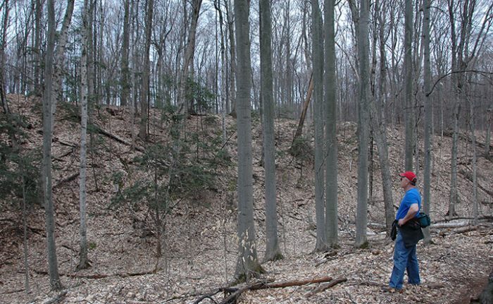
At post No. 23, continue north (left) to reach post No. 24 at Mile 3.7, marking where the trail loops north to reenter Lighthouse Park. The terrain and the older forest found here is much more interesting than open fields especially when the trail swings east to wind through a series of moraines before reaching post No. 2. Reached at Mile 4.3, this post is located at the end an old two-track where a side trail provides easy access to the shoreline of the East Arm.
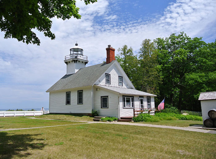
Continue north on the foot path as it skirts the East Arm. Even if you can’t see the water through the trees, you can often hear the surf on a windy day. At Mile 4.7 the trail swings west to arrive at post No. 1, marking a junction with a trail that heads south (left). Continue west (right) and in less than a quarter mile you’ll pop out of the trees at Mission Point Lighthouse with the parking lot a short walk away.