Petoskey State Park: Ski Trails
Buy the $.99 downloadable map!
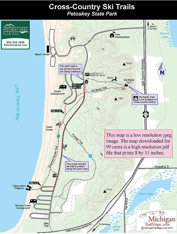
(This map is not geo-referenced)Trail Details

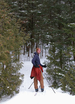
The 1.5-mile loop is posted with blue markers and is occasionally groomed when there is snow and staff available. The ski trail is ideal for novice and beginners as it winds through the closed campgrounds, into the woods and then back along the unplowed park road. Even after recent snowfalls the trail is popular enough that there is often a good set of skier-set tracks for classic skiing.
When the trail enters Tanner Creek Campground at the south end of the park there will be tracks everywhere where skiers seek to add additional mileage. By heading east into the dunes you can connect with the Portage Trail for more challenging elevation.
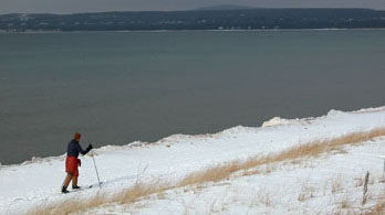
To the west trails will lead to a series of observation decks and snow-covered boardwalks to little Traverse Bay. Although you have to watch for occasional patches of sand, the frozen shoreline with it ice formations can an interesting place to ski.
| Difficulty - Easy |
| Dog Friendly |
| Groomed Classic Skiing |
Geo-referenced maps from MichiganTrailMaps.com range from $1.99 to $2.99 each.
Download the Avenza app from the App Store or Google Play


