Pictured Rocks: Lakeshore Trail
Trail Details

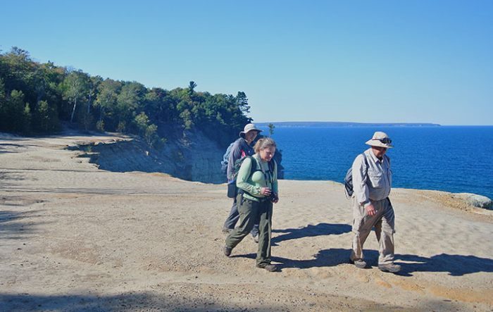
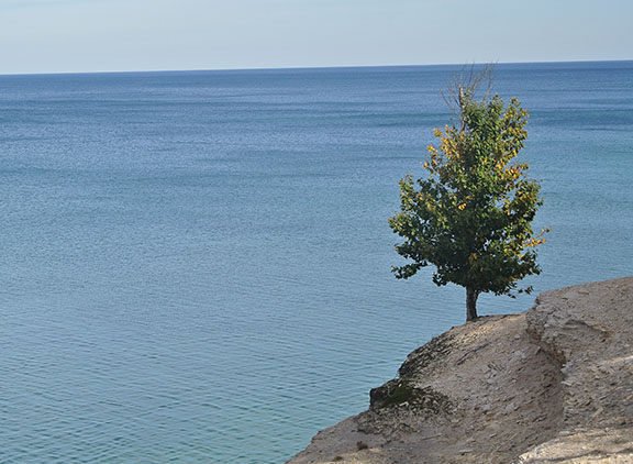
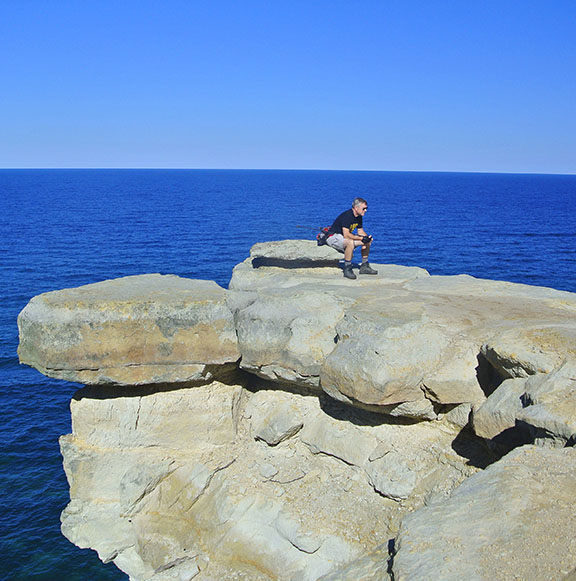
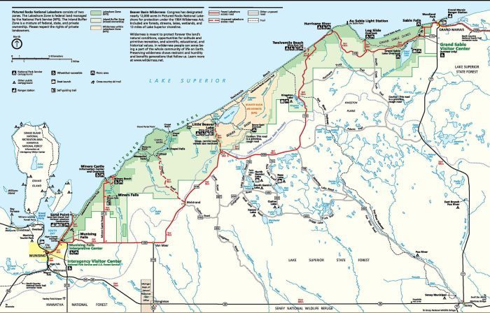
This is a trek is a walk between two towns, Grand Marais and Munising, past lighthouses and shipwrecks, giant sand dunes and towering standstone cliffs, beaches on Lake Superior and beaches 200 feet above it. Most backpackers utilize public transportation to be dropped off at the Grand Sable Visitor Center and then hike from east to west, ending back at their vehicle at the Munising Falls parking area. Once past the Log Slide on the first day, the scenery improves dramatically with every step west.
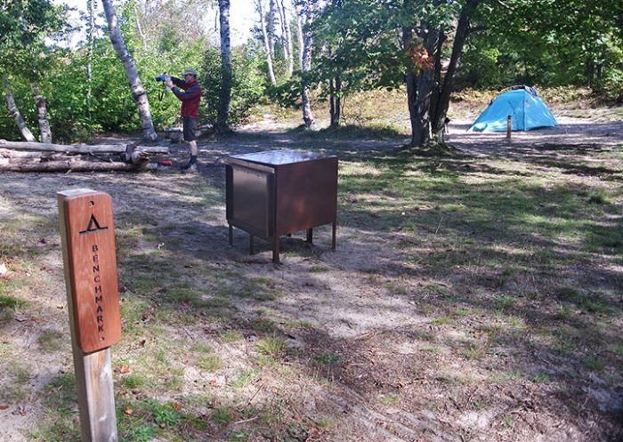
For many the Lakeshore Trail is laid out as a four-day walk with nights spent at backcountry campgrounds such as Benchmark, Beaver Creek, Chapel Beach and Mosquito River. These are some of the most scenic backcountry campgrounds along the trail but it does require you to hike between 9 and 12 miles a day. If that is too much mileage, then you can cover the route in five days with nights spent at Au Sable Point East, Trappers Lake, Chapel, and Potato Patch, a hike in which the longest day is 10.9 miles and the rest are 8-mile days.
Pictured Rocks also maintains three drive-in campgrounds within the park with the Lakeshore Trail passing through two of them; Hurricane River and Twelvemile Beach, and within 2 miles of Little Beaver Lake. Reservations are not accepted for the drive-in campgrounds with sites available on a first-come-first-serve basis.
During the peak summer season in July and August it is wise to reserve your backcountry campsites in advance (see Hours & Fees). Always pack along a water filter as most walk-in sites do do provide sources of drinkable water.
| Camping |
| Difficulty - Moderate |
| Foot Path |
Geo-referenced maps from MichiganTrailMaps.com range from $1.99 to $2.99 each.
Download the Avenza app from the App Store or Google Play


