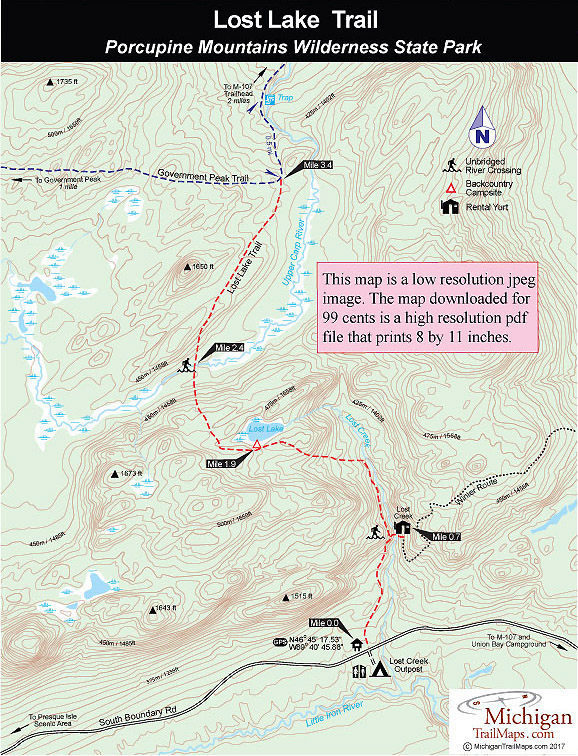
For a map or complete description to all the trails order Porcupine Mountains Wilderness State Park: A Backcountry Guide for Hikers, Backpackers, Campers & Winter Visitors by Jim DuFresne from the eshop:
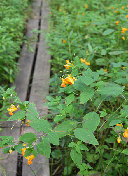
Lost Lake Trail begins as a level path through pines and hardwoods, appearing like the old mining road that it is and uses a long stretch of planking to keep your boots dry through a wet area. You skirt but don’t see Lost Creek just to the east of you.
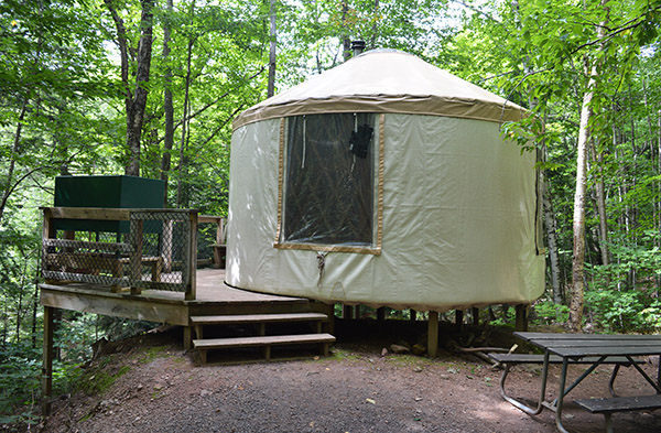
At Mile 0.6 you arrive at a posted spur that leads east (right) to the stream, an easy ford for those who have reserved the Lost Creek Yurt. The Mongolian-style wall tent is a gradual climb on the other side and perched on the edge of the Lost Creek ravine. It features a deck and bench on one side that allows you to peer down at the gurgling stream. A former two-track nearby is part of the winter route to Lost Creek Yurt.
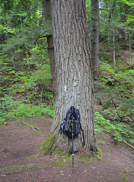
The Lost Lake Trail departs from the junction as a gentle climb carved into the side of a narrow ravine and soon puts you above Lost Creek with a scenic view of the water rushing below. At Mile 1.2 the trail crosses a feeder creek and then arrives there is a picturesque pool and a small cascade spilling into Lost Creek. At this point the trail swings sharply west and begins a steep ascent to the higher level of the lake. You climb almost 250 feet in the next half mile and top off at 1,560 feet in a virgin stand of hemlock. From the giant trees you emerge to your first view of the lake.
The small lake is really more like a very large pond with a shoreline guarded by a tangle of brush, an angler’s nightmare if trying to cast from the edge. A belly boat would be excellent here though the lake is not stocked and few people brother to fish it. Waterfowl often gather at Lost Lake, and occasionally you can spot a deer feeding along the edge.
The trail skirts the south side of the lake and at Mile 1.9 arrives at a backcountry campsite located beneath giant hemlocks near the shoreline. From here the pines give way to a hardwood forest with thick underbrush, and the trail crosses the often wet west end of Lost Lake to begin a rapid descent. In the next half mile, you are gripping the straps of your backpack as the trail quickly descends almost 150 feet off the ridge.
At 2.4 miles you bottom out at Upper Carp River. The headwaters for this river are ponds near Government Peak. From there the Upper Carp makes a loop to the south then north before eventually emptying into Lake of the Clouds. This is one of most scenic stretches of the river as well as one of the most remote. Anglers willing to bash some heavy brush might be rewarded with some excellent brook trout fishing by exploring downstream segments.
There is no bridge across Upper Carp and although the river is considerably larger than Lost Creek, it is still an easy ford during normal water levels. On the other side the trail crosses a mostly forested wetland area before climbing out of the Upper Carp valley to drier footing. The final leg is not nearly as steep as the south side. You sidle a low ridge through stands of old growth hemlock and hardwoods and within a mile of crossing the Upper Carp River or Mile 3.4 arrive at a posted junction with Government Peak Trail.
The junction is where Government Peak Trail swings to the north. To the west, Government Peak, the second highest point in the park, is 2.2 miles away and Mirror Lake 5.2 miles. To the north scenic Trap Falls is reached in a half mile, a pair of backcountry campsites in 0.8 miles and the Government Peak Trailhead along M-107 is 2.6 miles.