Port Crescent State Park: Campers Trail
Buy the $.99 downloadable map!
(This map is not geo-referenced)Trail Details
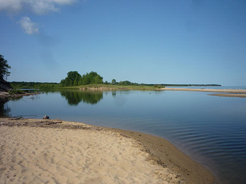


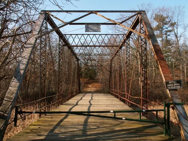
The Campers Trail is the most scenic path in Port Crescent State Park. The trail, a 2.3-mile loop with a 0.3-mile cutoff spur, lies in an area of the park completely surrounded by water, with the Pinnebog River to the west, the Saginaw Bay to the north, and the Old Pinnebog River channel everywhere else. The access point used here is from the campground where a chimney monument and display recount the story behind Port Crescent, the town.
By using the cutoff spur, you can shorten the hike to either a 1.3- or 1.1-mile walk, but you would then miss some of the overlooks. The entire loop is an easy trek with only gentle climbing that can be handled by children as young as 5 or 6 years old.
Hikers take to the trails March through December, relinquishing them only to skiers in the winter. October is unquestionably the best time, since the park is empty of campers and sun worshippers, and the fall colors of the oaks and maples that forest the dunes reach their brilliant peak. If you come in the early morning or at dusk during the fall, you might even spot a deer or two feeding on the acorns along the path.
| Camping |
| Difficulty - Easy |
| Dog Friendly |
| Foot Path |
Geo-referenced maps from MichiganTrailMaps.com range from $1.99 to $2.99 each.
Download the Avenza app from the App Store or Google Play


