Price Nature Center

Buy the $.99 downloadable map!
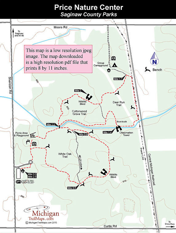
(This map is not geo-referenced)Trail Details
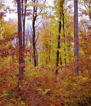

The land was originally donated to Michigan State University by James C. Price who in 1940 wanted to “assure its continued use to the public” and serve as a memorial to his family. Price Memorial Forest was used by the MSU Forestry Department for field studies and experiments as well as by locals for camping and picnicking. In 1979, the area was passed onto Saginaw County and in 1981 Price Nature Center, dedicated to preserving the mature beech-maple forest that covers most of the park, was open to the public.
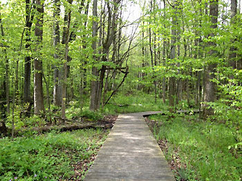
A sluggish creek splits the Saginaw County Park in half with nearly 3 miles of foot paths on both sides. The trail system is composed of three short loops. From the picnic area, the White Oak Trail is a 1.1-mile loop with a crossover spur that shortens it to 0.9 miles while the Cottonwood Grove Trail is a 1-mile loop. Deer Run Trail is a 0.7-mile extension off of Cottonwood Grove. A series of benches, wildlife blinds and an observation tower line the paths.
The hike described below is the outside perimeter of the trail system that begins from the trailhead in the parking area. This loop is still only a 2.5-mile hike and makes for an easy and enjoyable outing along extremely level trails. In the spring, the woodland flowers can be impressive; in the winter cross country skiing is a popular activity when there is sufficient amounts of snow.
| Difficulty - Easy |
| Dog Friendly |
| Foot Path |
Geo-referenced maps from MichiganTrailMaps.com range from $1.99 to $2.99 each.
Download the Avenza app from the App Store or Google Play


