
Railroad Point Natural Area
Buy the $.99 downloadable map!
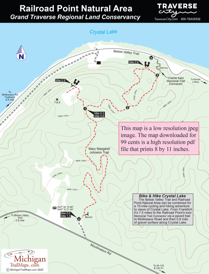
(This map is not geo-referenced)Trail Details


When combined with the adjoining, state-owned Crystal Lake Outlet property, the preserves protect 4,300 feet of lake frontage or more than half of Crystal Lake’s publicly-owned shoreline. Inland Railroad Point features upland forests, wetlands, steep-sided bluffs and portions of Outlet Creek, the warm-water stream that connects the lake to the Betsie River. Such a diverse habitat supports an equally wide range of wildlife, from whitetail deer, bobcats, black bears, otters and coyotes to birds such as wild turkeys, great blue herons, wood ducks and the red-shouldered hawk, a threatened species in Michigan.
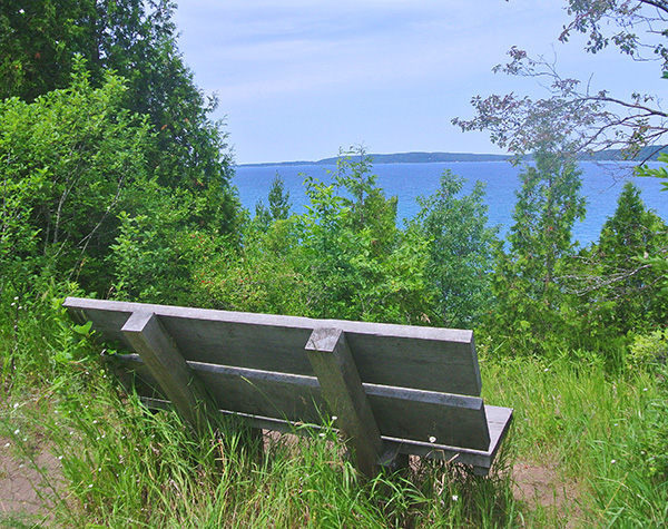
Two trails provide access into Railroad Point. The multi-purpose Bestie Valley Trail skirts Crystal Lake for a mile on the northern edge of the natural area while the Mary Margaret Johnson Trail, open only to foot traffic, heads inland from Mollineaux Road to views of Crystal Lake. The two trails are connected by the Charlie Kehr Memorial Trail that allows you to combine the trails for an enjoyable bike-and-hike outing.
The Mary Margaret Johnson Trail was completed in 2011 to replace the old logging roads visitors were using. The foot trail dips and climbs as it follows the natural contours of the terrain for a round-trip hike of 1.3 miles.
| Difficulty - Easy |
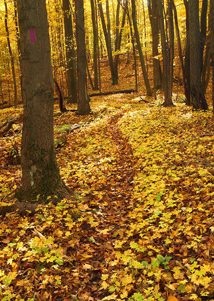
| Foot Path |
Geo-referenced maps from MichiganTrailMaps.com range from $1.99 to $2.99 each.
Download the Avenza app from the App Store or Google Play


