Reid Lake Foot Travel Area
Trail Details

To order a Reid Lake Foot Travel Area trail map click here.
Reid Lake is a lovely little body of water that was privately owned until 1966 with some of the surrounding land still being farmed in the early 1960s, as is evident by the open fields and even a small orchard. Eventually the U.S. Forest Service purchased 3,700 acres, designated it a non-motorized foot travel area in 1975 and then turned to the Youth Conservation Corps to help build a 6-mile trail system around the lake.
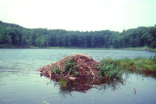
In 1991 the USFS added Little Trout Lake to increase its acreage to more than 4,000 acres and in 2002 began expanding the trail system and series of backcountry campsites. Today the Reid Lake Foot Travel Area includes 12 miles of trails, eight backcountry campsites, two charming lakes and numerous wetlands, marshes and bogs. It is this mix of marshes intermingled among rolling hills of hardwood forests that attracts and supports an abundance of wildlife.
That includes mosquitoes and deer flies if you arrive in June or July. Wait until late August when the bugs begin to thin out or, better yet, arrive in early October when there are none and the hardwood forests are burning with fall colors.
Reid Lake experiences its heaviest use on weekends during the winter with skiers departing from the plowed M-72 trailhead. But this could change in the future with the area’s expanded trail system. The perimeter of the trail system is now an ideal weekend backpack, an overnight trek of 9 miles to a remote, lakeshore campsite.
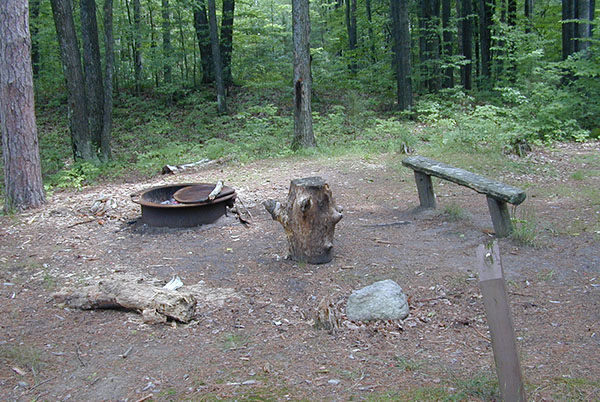
The outing that is described below is the most popular route with hikers or cross-country skiers, a 5.25-mile loop around Reid Lake that combines Homestead, Mossy Bog and Fanny’s Marsh Loops. Haul in a tent and sleeping bag and you can spend the evening. Campsites lie on the north and south side of the lake and feature fire rings and benches.
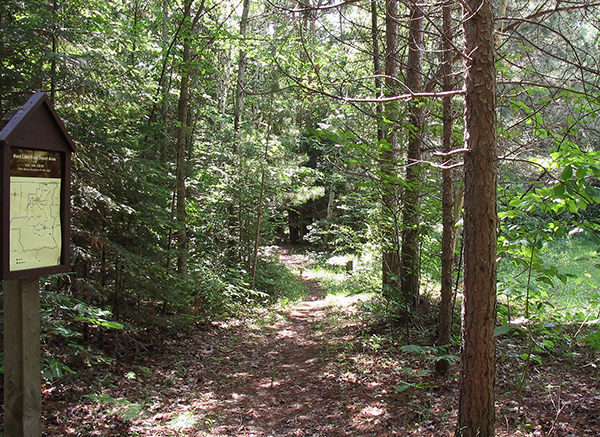
Trekking is not hard at Reid Lake. The trails are well marked with blue blazes, the junctions are marked with locator maps, and the gently rolling terrain contains few climbs of any significance. Even when trails wind around low-lying wet areas, they are surprisingly dry thanks to the old two-tracks that many follow and a series of new boardwalks.
| Camping |
| Difficulty - Easy |
| Difficulty - Moderate |
| Dog Friendly |
| Foot Path |
Geo-referenced maps from MichiganTrailMaps.com range from $1.99 to $2.99 each.
Download the Avenza app from the App Store or Google Play


