
Sand Lakes Quiet Area - Winter Trails

Buy the $.99 downloadable map!
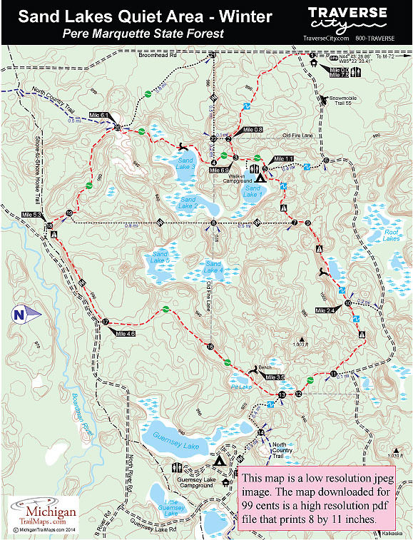
(This map is not geo-referenced)Trail Details

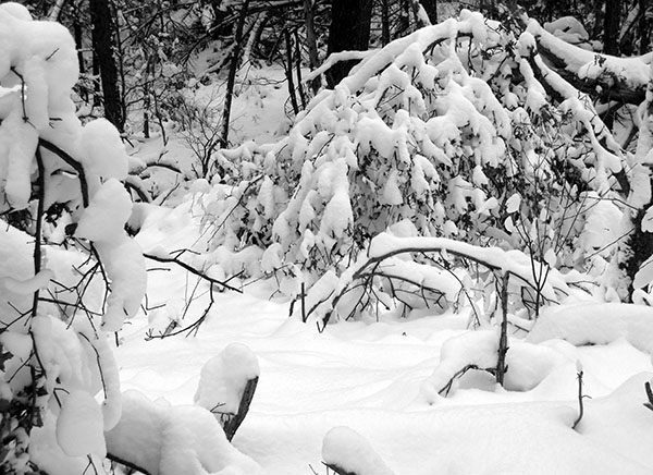

In the winter the only maintained trailhead, the only one they plow, is off of Broomhead Road and when we arrived in the middle of the week and there were no other vehicles in the parking lot we realized we had this 2,800-acre preserve to ourselves.
A true winter wilderness.
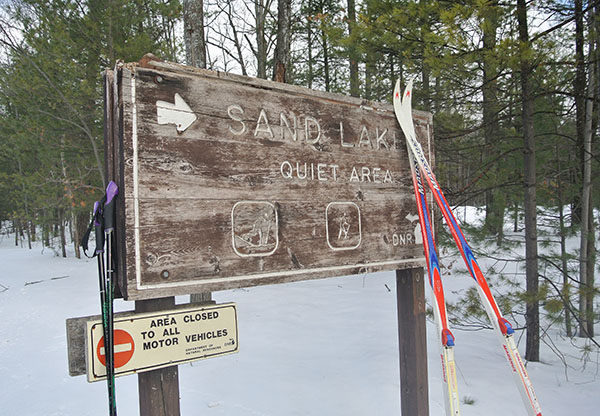
Part of the Pere Marquette State Forest, Sand Lakes is a tract of forested rolling hills and small lakes that was designated a “quiet area” in 1973. The area does not possess the stunning scenery of nearby Sleeping Bear Dunes National Lakeshore but it is quiet, thanks to the ban on motorized activity that includes snowmobiles in the winter.
There are actually 12 lakes and ponds within the tract that can be accessed by a system of maintained trails as well as old fire lanes that are unmarked and slowly becoming lost in the undergrowth. The five Sand Lakes are marl lakes, glaciated-created body of waters that contain a high percentage of calcium carbonate in the sediments at the bottom, the reason some of them feature an unusual greenish color.
In the summer the area is popular with mountain bikers, hikers and those who haul in a bit of gear to spend a quiet evening at the walk-in campsites on Sand Lake No. 1. In the winter everything is frozen and covered with snow making a Sand Lakes one of the best places in the Traverse City area for a backcountry ski or snowshoe trek.
The tract’s maintained trails form a 6-mile loop in the center of the Quiet Area and beginning from the Broomhead Road trailhead turns it into a 7.8-mile outing. Best to pack along hot drinks, snacks and maybe even a stove for heating up lunch. The trails are wide, well marked with locator maps, and generally easy to follow. Sand Lakes is not groomed but usually features skier-set tracks alongside a path of snowshoe prints. Either, shoes or skis, is a great way to explore the quiet area.
| Difficulty - Moderate |
| Dog Friendly |
| Multi-use Trail |
Geo-referenced maps from MichiganTrailMaps.com range from $1.99 to $2.99 each.
Download the Avenza app from the App Store or Google Play


