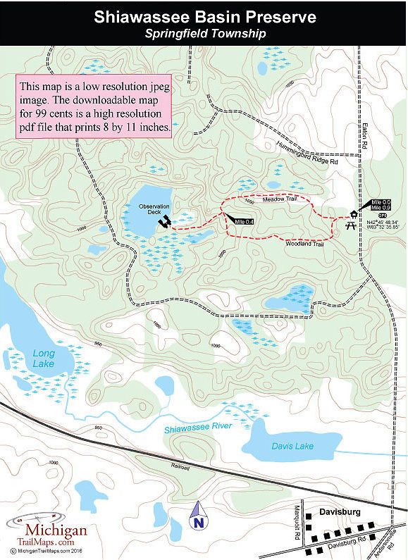
Shiawassee Basin Preserve
Buy the $.99 downloadable map!
(This map is not geo-referenced)Trail Details

Prairie fens are a type of wetland fed by surface or groundwater and are usually associated with the headwaters of streams, rivers, and or lakes. In this case Davis and Long Lakes and the Shiawassee River that flows between them. In Michigan, fens are one of the most biologically-rich ecosystems, providing habitat and clean water for hundreds of native plants and animals, many of them rare or endangered species.
Within Shiawassee Basin Preserve they include the Poweshiek Skipperling, a one-inch long butterfly that is so rare it's precariously close to extinction: Fewer than 200 are known to remain. The preserve is also home to the Eastern Massasauga Rattlesnake, the state's only venomous snake; the rare Huron River Leaf Hopper, and large colonies of rare white Lady's Slipper, a native wildflower.
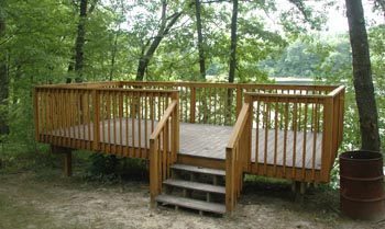
At the south end of Shiawassee Basin, accessed from an entrance off of Davisburg Road, there is a picnic area, soccer and baseball fields and the Springfield Township Civic Center. But the vast majority of the park is undeveloped. At the Eaton Road entrance facilities are limited to a parking area and a trail system that leads to a small lake, a fitting destination for a short hike.
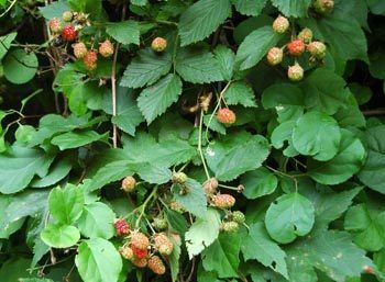
In all, the hike is less than a mile but this is a place where you want to walk slowly and observe quietly, whether you’re hoping to spot wild raspberries on a morning in August or wildlife at dusk such as nesting blue herons, deer, fox or even a pheasant scooting across the open meadow.
| Difficulty - Easy |
| Foot Path |
Geo-referenced maps from MichiganTrailMaps.com range from $1.99 to $2.99 each.
Download the Avenza app from the App Store or Google Play


