
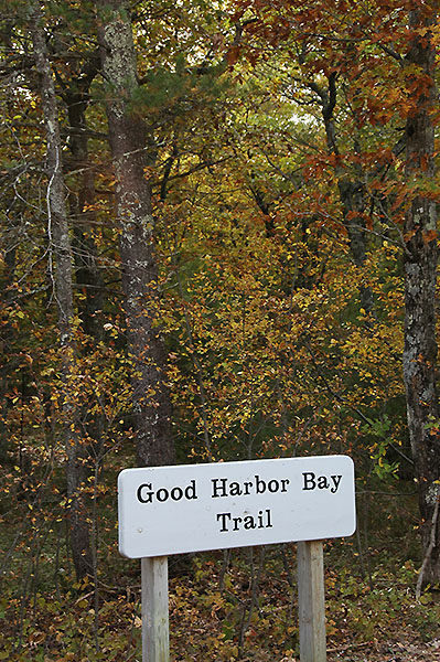
Sleeping Bear Dunes: Good Harbor Bay Trail

Buy the $.99 downloadable map!
(This map is not geo-referenced)Trail Details
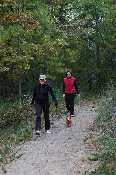

People new to the sport of Nordic skiing love this trail. Its level contour - the grade never exceeds 10 percent - and the abundance of lake-effect snow off the bay makes it easy to master the kick-and-glide technique of traditional cross-country skiing. The forested landscape tends to hold the snow late into the season.
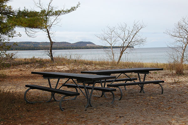
For hikers it’s a different story. The numerous outstanding trails in this corner of the state makes Good Harbor Bay and its lack of scenery a mundane choice at best. But the trailhead is located in a pleasant little picnic area that overlooks a wonderful beach. A family with young children could spend an afternoon here hiking in the woods and playing in the surf and then top off the day with a picnic dinner that includes a tableside view of Lake Michigan. Stay long enough and maybe they’ll catch a sunset. Not a bad way to spend your summer vacation in Northern Michigan.
| Difficulty - Easy |
| Foot Path |
Geo-referenced maps from MichiganTrailMaps.com range from $1.99 to $2.99 each.
Download the Avenza app from the App Store or Google Play


