
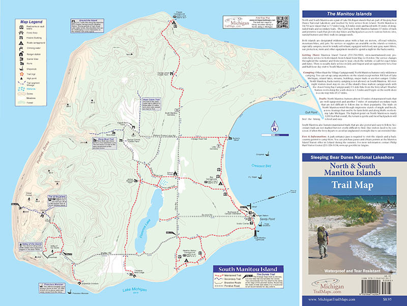
Sleeping Bear Dunes: North Manitou Island
Trail Details

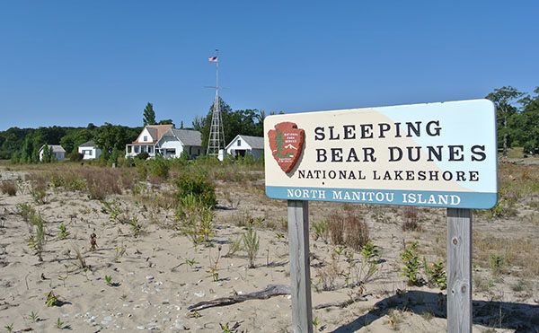

More than just transportation, the 11-mile ferry ride from Leland sets the mood for visitors arriving at the North Manitou Island. Located in Lake Michigan, North Manitou is wild, isolated, and remote, qualities that make it the premiere destination for backpackers in Michigan’s Lower Peninsula.
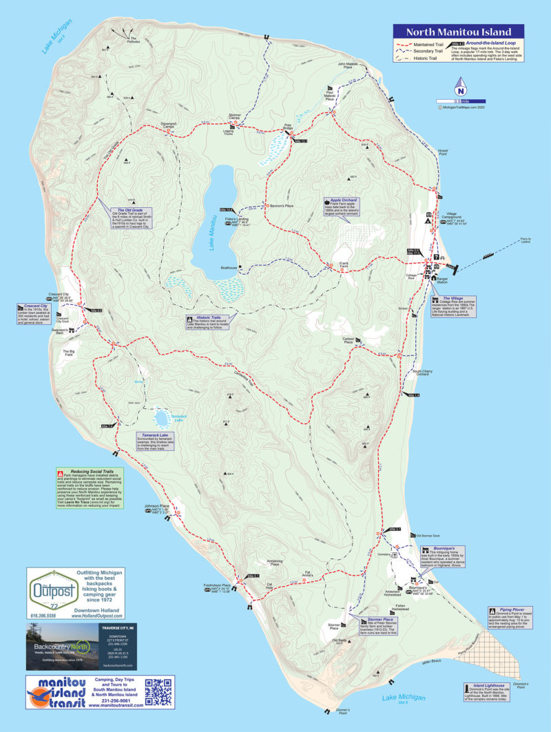
The 14,753-acre island is 7.7 miles long, 4.2 miles wide and laced with 30 miles of designated trails and secondary trails. North Manitou is the most northern section of Sleeping Bear Dunes National Lakeshore and managed as a wilderness with a ban on motors, off-road vehicles, mountain bikes, and pets.
No services or supplies are available on North Manitou and there are no opportunities for a day visit as there are at South Manitou Island. Visitors must be totally self-reliant, fully equipped with food, rain gear, water filters, sun protection, tents and other camping equipment needed to spend a night or more in the backcountry.
The trails on North Manitou wind through impressive stands of maple and beech, across clearings that used to be farm fields and along bluffs overlooking Lake Michigan. The highest point on North Manitou, nearly 1,000 feet, is located in the island’s rugged northwest corner. But overall, the terrain is gentle on North Manitou and most backpackers will find the hiking is level and easy.
North Manitou features almost 23 miles of maintained trails that are well signposted and another 7 miles of unmarked secondary trails that are not difficult to follow due to their popularity. Even more unsigned trails exist as historic trails.
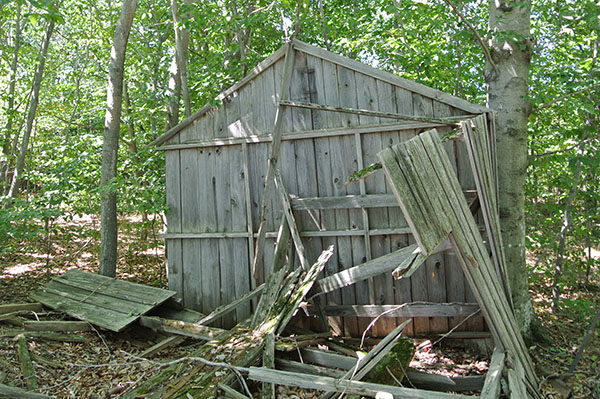
Some backpackers arrive to search out the historic buildings and other remnants of North Manitou’s intriguing past. But most are seeking to escape into the solitude. They want to spend their days hiking and their nights camped on a bluff overlooking Lake Michigan at a place where there are no cars or city lights. Just the brilliant stars overhead and the roar of the surf on a deserted beach below.
| Camping |
| Difficulty - Easy |
| Difficulty - Moderate |
| Foot Path |
Geo-referenced maps from MichiganTrailMaps.com range from $1.99 to $2.99 each.
Download the Avenza app from the App Store or Google Play


